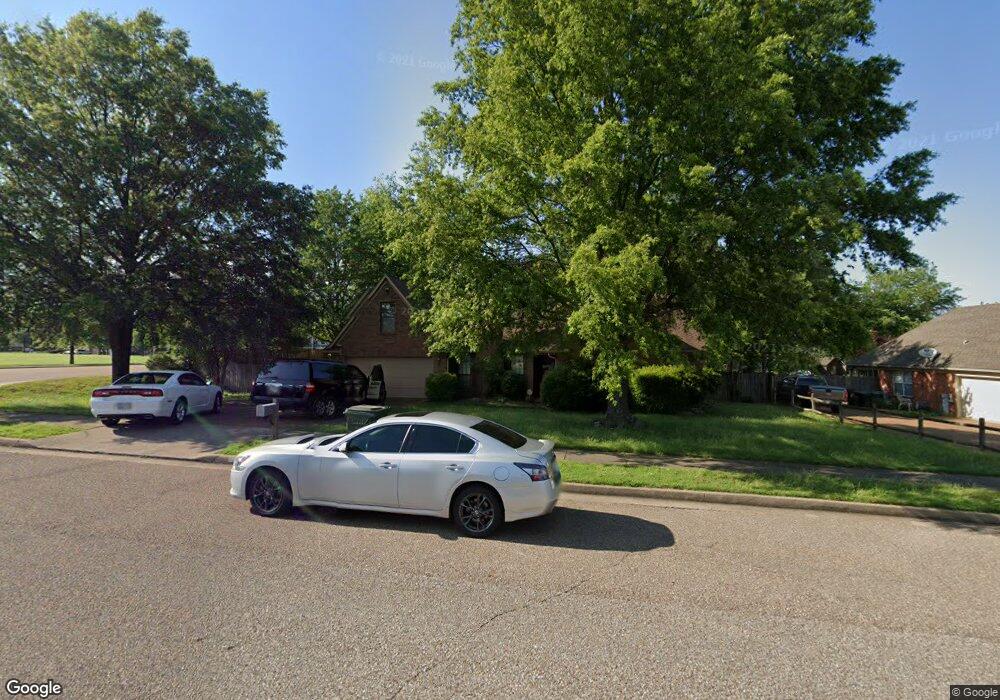
6820 Andrews Rd Memphis, TN 38135
Estimated Value: $273,000 - $312,000
4
Beds
3
Baths
2,322
Sq Ft
$128/Sq Ft
Est. Value
About This Home
This home is located at 6820 Andrews Rd, Memphis, TN 38135 and is currently estimated at $297,228, approximately $128 per square foot. 6820 Andrews Rd is a home located in Shelby County with nearby schools including Oak Elementary School, Appling Middle School, and Bartlett High School.
Ownership History
Date
Name
Owned For
Owner Type
Purchase Details
Closed on
Dec 4, 2020
Sold by
Barber Rodney Kevin
Bought by
Lawrence Gregory L
Current Estimated Value
Purchase Details
Closed on
Aug 13, 2009
Sold by
Barber Sue A
Bought by
Barber Sue A and Barber Rodney Kevin
Purchase Details
Closed on
Apr 30, 1997
Sold by
Cochran James A and Cochran Theresa A
Bought by
Barber Eva Fay and Barber Sue A
Create a Home Valuation Report for This Property
The Home Valuation Report is an in-depth analysis detailing your home's value as well as a comparison with similar homes in the area
Home Values in the Area
Average Home Value in this Area
Purchase History
| Date | Buyer | Sale Price | Title Company |
|---|---|---|---|
| Lawrence Gregory L | $190,000 | None Available | |
| Barber Sue A | -- | None Available | |
| Barber Eva Fay | $126,000 | -- | |
| Barber Eva Fay | $126,000 | -- |
Source: Public Records
Tax History
| Year | Tax Paid | Tax Assessment Tax Assessment Total Assessment is a certain percentage of the fair market value that is determined by local assessors to be the total taxable value of land and additions on the property. | Land | Improvement |
|---|---|---|---|---|
| 2025 | $1,806 | $77,525 | $14,500 | $63,025 |
| 2024 | $1,806 | $53,275 | $9,750 | $43,525 |
| 2023 | $2,728 | $53,275 | $9,750 | $43,525 |
| 2022 | $2,728 | $53,275 | $9,750 | $43,525 |
| 2021 | $1,838 | $53,275 | $9,750 | $43,525 |
| 2020 | $2,453 | $41,725 | $7,500 | $34,225 |
| 2019 | $764 | $41,725 | $7,500 | $34,225 |
| 2018 | $1,690 | $41,725 | $7,500 | $34,225 |
| 2017 | $2,478 | $41,725 | $7,500 | $34,225 |
| 2016 | $1,640 | $37,525 | $0 | $0 |
| 2014 | $1,640 | $37,525 | $0 | $0 |
Source: Public Records
Map
Nearby Homes
- 6885 Tiffany Oaks Cove
- 6895 Tiffany Oaks Cove
- 3574 Stonehenge Cove S
- 6957 Andrews Rd
- 6736 Forrest Cir
- 6613 Baird Cove
- 6593 Woodpark Ln
- 6774 Oakmoor Cir S
- 6569 Woodpark Cove
- 6631 Morningsgate Cove
- 3618 Sunray Cove
- 6644 Bright Star Ln
- 3466 Stone Chase Cove
- 6561 Deermont Dr
- 3334 Oak Rd
- 3255 Oak Cove
- 3262 W Earhart Dr
- 6465 Eastbrier Dr
- 7185 Deerfield Rd
- 6884 Johnstown Ln
- 6826 Andrews Rd
- 6817 Nicole Cove
- 6832 Andrews Rd
- 6823 Andrews Rd
- 6825 Nicole Cove
- 6827 Andrews Rd
- 6818 Nicole Cove
- 6838 Andrews Rd
- 6831 Andrews Rd
- 6831 Nicole Cove
- 6824 Nicole Cove
- 6835 Andrews Rd
- 6830 Nicole Cove
- 6841 Andrews Rd
- 6850 Andrews Rd
- 6790 Stonetrace Dr
- 6836 Nicole Cove
- 6831 Jody Cove
- 6845 Andrews Rd
- 3501 Tiffany Oaks Ln
Your Personal Tour Guide
Ask me questions while you tour the home.