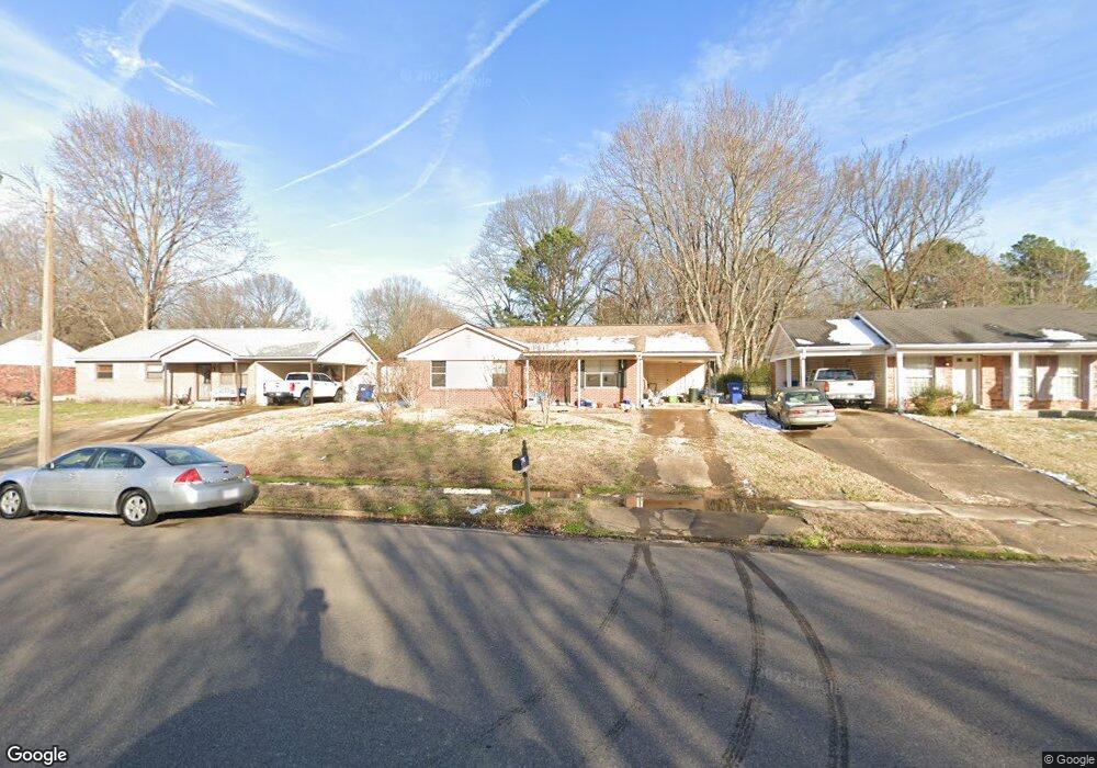
6820 Camelot Rd Horn Lake, MS 38637
Estimated Value: $146,000 - $173,000
2
Beds
--
Bath
1,070
Sq Ft
$146/Sq Ft
Est. Value
About This Home
This home is located at 6820 Camelot Rd, Horn Lake, MS 38637 and is currently estimated at $156,735, approximately $146 per square foot. 6820 Camelot Rd is a home located in DeSoto County with nearby schools including Horn Lake Elementary School, Horn Lake Intermediate School, and Horn Lake Middle School.
Ownership History
Date
Name
Owned For
Owner Type
Purchase Details
Closed on
Oct 16, 2012
Sold by
Ray Lee Management Company Llc
Bought by
Smith Michael Ray
Current Estimated Value
Home Financials for this Owner
Home Financials are based on the most recent Mortgage that was taken out on this home.
Original Mortgage
$121,885
Outstanding Balance
$21,076
Interest Rate
3.58%
Mortgage Type
New Conventional
Estimated Equity
$135,659
Create a Home Valuation Report for This Property
The Home Valuation Report is an in-depth analysis detailing your home's value as well as a comparison with similar homes in the area
Home Values in the Area
Average Home Value in this Area
Purchase History
| Date | Buyer | Sale Price | Title Company |
|---|---|---|---|
| Smith Michael Ray | -- | None Available |
Source: Public Records
Mortgage History
| Date | Status | Borrower | Loan Amount |
|---|---|---|---|
| Open | Smith Michael Ray | $121,885 |
Source: Public Records
Tax History Compared to Growth
Tax History
| Year | Tax Paid | Tax Assessment Tax Assessment Total Assessment is a certain percentage of the fair market value that is determined by local assessors to be the total taxable value of land and additions on the property. | Land | Improvement |
|---|---|---|---|---|
| 2024 | $613 | $5,628 | $1,500 | $4,128 |
| 2023 | $613 | $5,628 | $0 | $0 |
| 2022 | $613 | $5,628 | $1,500 | $4,128 |
| 2021 | $612 | $5,625 | $1,500 | $4,125 |
| 2020 | $575 | $5,295 | $1,500 | $3,795 |
| 2019 | $575 | $5,295 | $1,500 | $3,795 |
| 2017 | $558 | $8,726 | $5,113 | $3,613 |
| 2016 | $538 | $5,113 | $1,500 | $3,613 |
| 2015 | $740 | $8,726 | $5,113 | $3,613 |
| 2014 | $538 | $5,113 | $0 | $0 |
| 2013 | $517 | $5,113 | $0 | $0 |
Source: Public Records
Map
Nearby Homes
- 2655 Hillcrest Dr
- 2848 Normandy Dr
- 6670 Embassy Cir
- 2919 Normandy Dr
- 2880 Briarwood Dr
- 2950 Briarwood Dr
- 2388 Pappy Ln
- 6265 Foxbriar Dr
- 7054 Foxhall Dr
- 2605 Valleybrook Rd
- 6787 Chase Cove
- 7135 Hampton Dr
- 2895 Valleybrook Rd
- 7088 Foxhall Dr
- 3350 Tulane Rd W
- 2952 Churchwell Dr
- 3430 Mayfair Dr
- 2920 Devon Cir
- 7429 Perrin Ln
- 3031 Caitlynn Cir S
- 6830 Camelot Rd
- 6810 Camelot Rd
- 2635 Pinehurst Cove
- 6840 Camelot Rd
- 6785 Northwood Cove
- 2670 Eastbrook Dr
- 2715 Camelot Cove
- 2640 Pinehurst Cove
- 6850 Camelot Rd
- 6765 Northwood Cove
- 2625 Pinehurst Cove
- 2700 Eastbrook Dr
- 6845 Camelot Rd
- 6780 Northwood Cove
- 2725 Camelot Cove
- 2645 Hillcrest Cir
- 2655 Hillcrest Cir
- 2620 Pinehurst Cove
- 2615 Pinehurst Cove
- 6780 Camelot Rd