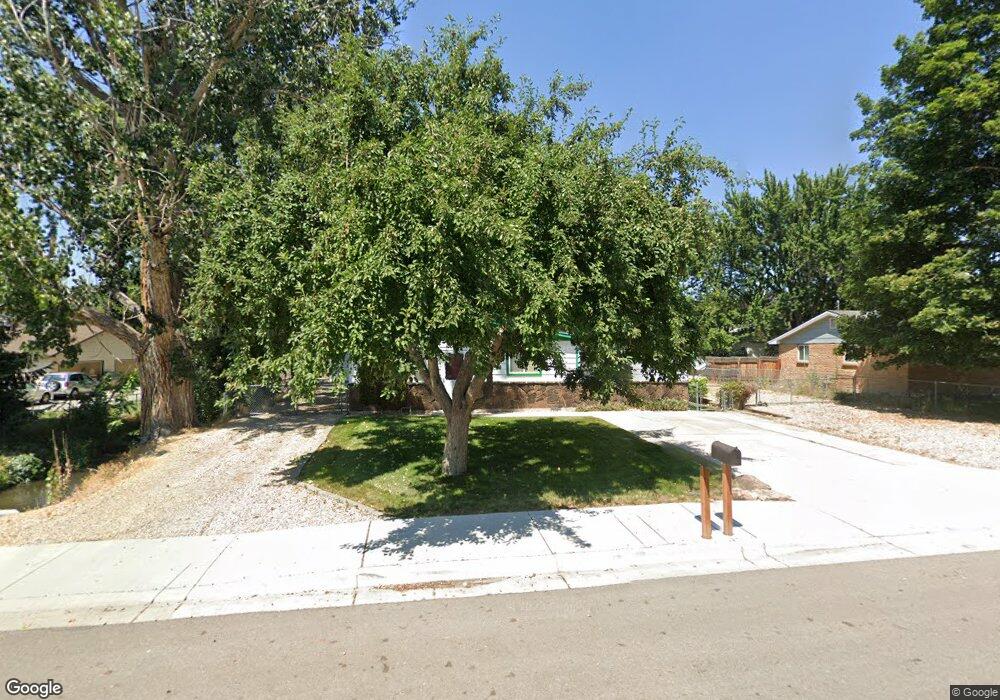
6820 W Poplar St Boise, ID 83704
West Boise NeighborhoodEstimated Value: $389,000 - $439,000
3
Beds
2
Baths
1,392
Sq Ft
$299/Sq Ft
Est. Value
About This Home
This home is located at 6820 W Poplar St, Boise, ID 83704 and is currently estimated at $416,441, approximately $299 per square foot. 6820 W Poplar St is a home located in Ada County with nearby schools including Koelsch Elementary School, Fairmont Junior High School, and Capital High School.
Ownership History
Date
Name
Owned For
Owner Type
Purchase Details
Closed on
Dec 19, 2017
Sold by
Sharp Kevin M
Bought by
Ada County Highway District
Current Estimated Value
Purchase Details
Closed on
Dec 7, 2017
Sold by
Sharp Kevin M
Bought by
Ada County
Purchase Details
Closed on
Feb 16, 1999
Sold by
Froscher William C and Froscher Wynoma J
Bought by
Sharp Kevin M
Home Financials for this Owner
Home Financials are based on the most recent Mortgage that was taken out on this home.
Original Mortgage
$88,428
Interest Rate
6.77%
Mortgage Type
FHA
Create a Home Valuation Report for This Property
The Home Valuation Report is an in-depth analysis detailing your home's value as well as a comparison with similar homes in the area
Home Values in the Area
Average Home Value in this Area
Purchase History
| Date | Buyer | Sale Price | Title Company |
|---|---|---|---|
| Ada County Highway District | -- | None Listed On Document | |
| Ada County | -- | None Available | |
| Sharp Kevin M | -- | Transnation Title & Escrow I |
Source: Public Records
Mortgage History
| Date | Status | Borrower | Loan Amount |
|---|---|---|---|
| Previous Owner | Sharp Kevin M | $88,428 |
Source: Public Records
Tax History Compared to Growth
Tax History
| Year | Tax Paid | Tax Assessment Tax Assessment Total Assessment is a certain percentage of the fair market value that is determined by local assessors to be the total taxable value of land and additions on the property. | Land | Improvement |
|---|---|---|---|---|
| 2025 | $2,131 | $368,500 | -- | -- |
| 2024 | $2,137 | $359,800 | -- | -- |
| 2023 | $2,137 | $348,800 | $0 | $0 |
| 2022 | $2,334 | $394,200 | $0 | $0 |
| 2021 | $1,988 | $306,900 | $0 | $0 |
| 2020 | $1,784 | $250,300 | $0 | $0 |
| 2019 | $1,792 | $232,100 | $0 | $0 |
| 2018 | $1,467 | $193,300 | $0 | $0 |
Source: Public Records
Map
Nearby Homes
- 2101 N Allumbaugh St
- 2001 N Allumbaugh St
- 2110 N Allumbaugh St
- 6808 W Folk Dr
- 6800 W Folk Dr
- 6827 W Northview St
- 6738 W Westwood Ln
- 7103 W Northview St
- 6505 W York St
- 6404 W York St
- 7230 W Northview St
- 6402 W Northview St
- 7060 W Colehaven Ln
- 7084 W Colehaven Ln
- 6214 W York St
- 7048 W Colehaven Dr
- 1703 N Hartman St
- 2709 N Cole Rd
- 6932 W Irving Ln
- 1427 N Bluffs Ridge Ln
- 6812 W Poplar St
- 6896 W Poplar St
- 6896 W Poplar St
- 6902 W Poplar St
- 6907 W Butte Ct
- 6921 W Butte Ct
- 6879 W Butte Ct
- 6821 W Poplar St
- 6808 W Poplar St
- 6906 W Poplar St
- 6903 W Poplar St
- 6943 W Butte Ct
- 6855 W Butte Ct
- 6813 W Poplar St
- 6905 W Poplar St
- 6906 W Butte Ct
- 6804 W Poplar St
- 6922 W Butte Ct
- 6878 W Butte Ct
- 6968 W Butte Ct