6821 Rollin Brown Ct Bakersfield, CA 93313
Estimated Value: $715,000 - $1,079,000
4
Beds
4
Baths
3,595
Sq Ft
$261/Sq Ft
Est. Value
About This Home
This home is located at 6821 Rollin Brown Ct, Bakersfield, CA 93313 and is currently estimated at $936,787, approximately $260 per square foot. 6821 Rollin Brown Ct is a home with nearby schools including Lakeside School, General Shafter Elementary School, and Independence High School.
Ownership History
Date
Name
Owned For
Owner Type
Purchase Details
Closed on
Sep 21, 2020
Sold by
James Ronald and James Julie
Bought by
James Ronald A and James Julie A
Current Estimated Value
Purchase Details
Closed on
Jun 20, 2013
Sold by
Sedco/Brown Llc
Bought by
James Ronald and James Julie
Home Financials for this Owner
Home Financials are based on the most recent Mortgage that was taken out on this home.
Original Mortgage
$417,000
Outstanding Balance
$301,724
Interest Rate
3.88%
Mortgage Type
Small Business Administration
Estimated Equity
$635,063
Create a Home Valuation Report for This Property
The Home Valuation Report is an in-depth analysis detailing your home's value as well as a comparison with similar homes in the area
Home Values in the Area
Average Home Value in this Area
Purchase History
| Date | Buyer | Sale Price | Title Company |
|---|---|---|---|
| James Ronald A | -- | None Available | |
| James Ronald | $155,000 | Ticor Title Company Of Ca |
Source: Public Records
Mortgage History
| Date | Status | Borrower | Loan Amount |
|---|---|---|---|
| Open | James Ronald | $417,000 |
Source: Public Records
Tax History Compared to Growth
Tax History
| Year | Tax Paid | Tax Assessment Tax Assessment Total Assessment is a certain percentage of the fair market value that is determined by local assessors to be the total taxable value of land and additions on the property. | Land | Improvement |
|---|---|---|---|---|
| 2025 | $9,176 | $809,000 | $200,000 | $609,000 |
| 2024 | $8,398 | $766,000 | $180,000 | $586,000 |
| 2023 | $8,398 | $700,000 | $175,000 | $525,000 |
| 2022 | $8,390 | $700,000 | $175,000 | $525,000 |
| 2021 | $8,155 | $675,000 | $150,000 | $525,000 |
| 2020 | $8,141 | $675,000 | $150,000 | $525,000 |
| 2019 | $8,138 | $675,000 | $150,000 | $525,000 |
| 2018 | $8,072 | $675,000 | $150,000 | $525,000 |
| 2017 | $8,110 | $675,000 | $150,000 | $525,000 |
| 2016 | $6,979 | $630,000 | $150,000 | $480,000 |
| 2015 | $7,030 | $694,007 | $158,096 | $535,911 |
| 2014 | $3,801 | $333,500 | $155,000 | $178,500 |
Source: Public Records
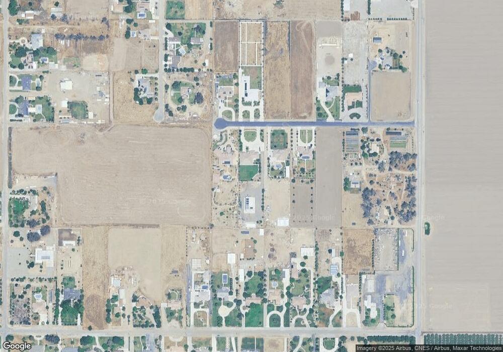
Map
Nearby Homes
- 7544 Clifford Ct
- 7925 Houghton Rd
- 15313 Gosford Rd
- 11217 Gosford Rd
- 7926 Bear Mountain Blvd
- 6200 Whaleback Ave
- 5831 Mardal Ave
- 0 Bear Mountain Blvd
- 6021 Bogart Dr
- 6028 Bogart Dr
- 5808 Esmerelda Ave
- 6230 Taft Hwy
- 9402 Cobble Mountain Rd
- 6201 Cape Cod Ave
- 6115 Cape Cod Ave
- 9623 Kanosh Cobble Dr
- 6225 Thorton Ave
- Lark Plan at Village at Gosford - East Village
- Oriole Plan at Village at Gosford - East Village
- Sparrow Plan at Village at Gosford - East Village
- 6853 Rollin Brown Ct
- 6753 Rollin Brown Ct
- 6558 Rollin Brown Ct
- 6649 Rollin Brown Ct
- 6723 Rollin Brown Ct
- 6649 Rollin Brown Ct Parcel 13 Ct
- 13220 Robertson St
- 6822 Rollin Brown Ct
- 6852 Rollin Brown Ct
- 6754 Rollin Brown Parcel 6 Ct
- 6754 Rollin Brown Ct
- 6724 Rollin Brown Parcel 5 Ct
- 6650 Rollin Brown Ct
- 13391 Ashe Rd
- 13211 Robertson St
- 13108 Robertson St
- 6928 Lindsay Rd
- 13327 Ashe Rd
- 6622 Rollin Brown Ct
- 6622 Rollin Brown Ct