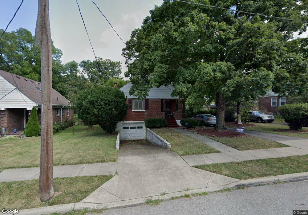
6824 Richard Ave Cincinnati, OH 45224
Estimated Value: $156,836 - $232,000
2
Beds
2
Baths
952
Sq Ft
$194/Sq Ft
Est. Value
About This Home
This home is located at 6824 Richard Ave, Cincinnati, OH 45224 and is currently estimated at $184,959, approximately $194 per square foot. 6824 Richard Ave is a home located in Hamilton County with nearby schools including North College Hill Elementary School, North College Hill Middle School, and North College Hill High School.
Ownership History
Date
Name
Owned For
Owner Type
Purchase Details
Closed on
Jan 30, 1998
Sold by
Leigh Harry L and Leigh Marlene R
Bought by
Johnson Rochelle S
Current Estimated Value
Home Financials for this Owner
Home Financials are based on the most recent Mortgage that was taken out on this home.
Original Mortgage
$72,444
Outstanding Balance
$11,303
Interest Rate
7.12%
Mortgage Type
FHA
Estimated Equity
$173,656
Create a Home Valuation Report for This Property
The Home Valuation Report is an in-depth analysis detailing your home's value as well as a comparison with similar homes in the area
Home Values in the Area
Average Home Value in this Area
Purchase History
| Date | Buyer | Sale Price | Title Company |
|---|---|---|---|
| Johnson Rochelle S | $72,500 | Ati Title Agency Of Ohio Inc |
Source: Public Records
Mortgage History
| Date | Status | Borrower | Loan Amount |
|---|---|---|---|
| Open | Johnson Rochelle S | $72,444 |
Source: Public Records
Tax History
| Year | Tax Paid | Tax Assessment Tax Assessment Total Assessment is a certain percentage of the fair market value that is determined by local assessors to be the total taxable value of land and additions on the property. | Land | Improvement |
|---|---|---|---|---|
| 2024 | $1,834 | $36,236 | $9,762 | $26,474 |
| 2023 | $1,850 | $36,236 | $9,762 | $26,474 |
| 2022 | $1,706 | $23,849 | $8,225 | $15,624 |
| 2021 | $1,670 | $23,849 | $8,225 | $15,624 |
| 2020 | $1,465 | $23,849 | $8,225 | $15,624 |
| 2019 | $1,440 | $20,920 | $7,214 | $13,706 |
| 2018 | $1,440 | $20,920 | $7,214 | $13,706 |
| 2017 | $1,364 | $20,920 | $7,214 | $13,706 |
| 2016 | $1,366 | $22,338 | $9,454 | $12,884 |
| 2015 | $1,369 | $22,338 | $9,454 | $12,884 |
| 2014 | $1,367 | $22,338 | $9,454 | $12,884 |
| 2013 | $1,340 | $22,561 | $9,548 | $13,013 |
Source: Public Records
Map
Nearby Homes
- 6765 Richard Ave
- 7929 Cherrywood Ct
- 1544 W Galbraith Rd
- 1280 Brushwood Ave
- 7923 Bobolink Dr
- 7873 Bobolink Dr
- 1533 Corcoran Place
- 6531 Hamilton Ave
- 1202 Ashmore Ct
- 1701 Goodman Ave
- 8311 Daly Rd
- 1476 Foxwood Dr
- 1346 Wittekind Terrace
- 1541 Southridge Ln
- 6538 S Oak Knoll Dr
- 1148 Hollywood Ave
- 1714 Waltham Ave
- 1611 Harbeson Ave
- 1556 Reid Ave
- 6429 Aspen Way
- 6826 Richard Ave
- 6828 Richard Ave
- 6820 Richard Ave
- 6832 Richard Ave
- 6818 Richard Ave
- 6827 Richard Ave
- 6823 Richard Ave
- 1326 Telford Ave
- 6829 Richard Ave
- 6821 Richard Ave
- 6834 Richard Ave
- 6816 Richard Ave
- 6831 Richard Ave
- 6819 Richard Ave
- 1324 Telford Ave
- 6836 Richard Ave
- 1322 Telford Ave
- 6833 Richard Ave
- 6817 Richard Ave
- 6812 Marvin Ave