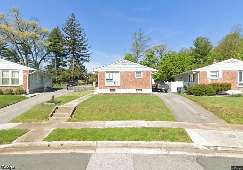
6824 Westridge Rd Gwynn Oak, MD 21207
Estimated Value: $202,000 - $343,000
--
Bed
1
Bath
1,000
Sq Ft
$278/Sq Ft
Est. Value
About This Home
This home is located at 6824 Westridge Rd, Gwynn Oak, MD 21207 and is currently estimated at $277,965, approximately $277 per square foot. 6824 Westridge Rd is a home located in Baltimore County with nearby schools including Wellwood International Elementary, Pikesville Middle School, and Woodlawn High School.
Ownership History
Date
Name
Owned For
Owner Type
Purchase Details
Closed on
Mar 30, 2006
Sold by
Davis Brice
Bought by
Vance Michael S and Vance Jamvanti
Current Estimated Value
Home Financials for this Owner
Home Financials are based on the most recent Mortgage that was taken out on this home.
Original Mortgage
$33,600
Outstanding Balance
$19,096
Interest Rate
6.17%
Mortgage Type
Stand Alone Second
Estimated Equity
$258,869
Purchase Details
Closed on
Feb 7, 2006
Sold by
Davis Brice
Bought by
Vance Michael S and Vance Jamvanti
Home Financials for this Owner
Home Financials are based on the most recent Mortgage that was taken out on this home.
Original Mortgage
$33,600
Outstanding Balance
$19,096
Interest Rate
6.17%
Mortgage Type
Stand Alone Second
Estimated Equity
$258,869
Create a Home Valuation Report for This Property
The Home Valuation Report is an in-depth analysis detailing your home's value as well as a comparison with similar homes in the area
Home Values in the Area
Average Home Value in this Area
Purchase History
| Date | Buyer | Sale Price | Title Company |
|---|---|---|---|
| Vance Michael S | $168,000 | -- | |
| Vance Michael S | $168,000 | -- |
Source: Public Records
Mortgage History
| Date | Status | Borrower | Loan Amount |
|---|---|---|---|
| Open | Vance Michael S | $33,600 | |
| Open | Vance Michael S | $134,400 | |
| Closed | Vance Michael S | $33,600 | |
| Previous Owner | Vance Michael S | $134,400 |
Source: Public Records
Tax History Compared to Growth
Tax History
| Year | Tax Paid | Tax Assessment Tax Assessment Total Assessment is a certain percentage of the fair market value that is determined by local assessors to be the total taxable value of land and additions on the property. | Land | Improvement |
|---|---|---|---|---|
| 2025 | $2,568 | $158,100 | $50,300 | $107,800 |
| 2024 | $2,568 | $153,767 | $0 | $0 |
| 2023 | $1,266 | $149,433 | $0 | $0 |
| 2022 | $2,375 | $145,100 | $50,300 | $94,800 |
| 2021 | $2,543 | $142,233 | $0 | $0 |
| 2020 | $2,543 | $139,367 | $0 | $0 |
| 2019 | $2,215 | $136,500 | $50,300 | $86,200 |
| 2018 | $2,091 | $134,633 | $0 | $0 |
| 2017 | $2,073 | $132,767 | $0 | $0 |
| 2016 | $1,745 | $130,900 | $0 | $0 |
| 2015 | $1,745 | $129,100 | $0 | $0 |
| 2014 | $1,745 | $127,300 | $0 | $0 |
Source: Public Records
Map
Nearby Homes
- 3809 Southern Cross Dr
- 3805 Arbutus Ave
- 3651 Campfield Rd
- 6804 Carol Rd
- 4348 Danlou Dr
- 6615 Laurel Dr
- 3716 Sylvan Dr
- 3735 Sylvan Dr
- 3724 Oak Ave
- 6811 Parsons Ave
- 6603 Mount Vernon Ave
- 6705 Fairmount Ave
- 6700 Parsons Ave
- 6603 Fairmount Ave
- 3605 Sylvan Dr
- 3655 Forest Garden Ave
- 4124 Bedford Rd
- 503 Nassau St
- 6513 Liberty Rd
- 6509 Parr Ave
- 6822 Westridge Rd
- 6826 Westridge Rd
- 6828 Westridge Rd
- 6820 Westridge Rd
- 6830 Westridge Rd
- 6811 Westridge Rd
- 6813 Westridge Rd
- 6818 Westridge Rd
- 6815 Westridge Rd
- 6809 Westridge Rd
- 6832 Westridge Rd
- 6817 Westridge Rd
- 6816 Westridge Rd
- 6808 Campfield Rd
- 6810 Campfield Rd
- 6819 Westridge Rd
- 6834 Westridge Rd
- 6814 Westridge Rd
- 3802 Byfield Rd
- 3804 Byfield Rd