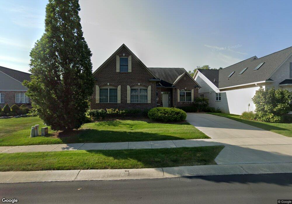
683 Allenhurst Cir Carmel, IN 46032
West Carmel NeighborhoodEstimated Value: $576,000 - $756,000
3
Beds
4
Baths
5,100
Sq Ft
$132/Sq Ft
Est. Value
About This Home
This home is located at 683 Allenhurst Cir, Carmel, IN 46032 and is currently estimated at $673,342, approximately $132 per square foot. 683 Allenhurst Cir is a home located in Hamilton County with nearby schools including Smoky Row Elementary School, Carmel Middle School, and Carmel High School.
Ownership History
Date
Name
Owned For
Owner Type
Purchase Details
Closed on
May 3, 2013
Sold by
Payne Thomas M and Payne Michelle C
Bought by
Payne Michelle C and Michelle C Payne Revocable Trust
Current Estimated Value
Purchase Details
Closed on
Apr 30, 2010
Sold by
Coronado Development Corporation
Bought by
Payne Thomas M and Payne Michelle C
Purchase Details
Closed on
Aug 21, 2009
Sold by
Precedent Homes Llc
Bought by
Coronado Development Corporation
Purchase Details
Closed on
Jul 31, 2007
Sold by
Ashbury Park Lp
Bought by
Precedent Homes Llc
Create a Home Valuation Report for This Property
The Home Valuation Report is an in-depth analysis detailing your home's value as well as a comparison with similar homes in the area
Home Values in the Area
Average Home Value in this Area
Purchase History
| Date | Buyer | Sale Price | Title Company |
|---|---|---|---|
| Payne Michelle C | -- | None Available | |
| Payne Thomas M | -- | Title Links Llc | |
| Coronado Development Corporation | -- | None Available | |
| Precedent Homes Llc | -- | None Available |
Source: Public Records
Tax History Compared to Growth
Tax History
| Year | Tax Paid | Tax Assessment Tax Assessment Total Assessment is a certain percentage of the fair market value that is determined by local assessors to be the total taxable value of land and additions on the property. | Land | Improvement |
|---|---|---|---|---|
| 2024 | $5,519 | $578,400 | $81,100 | $497,300 |
| 2023 | $5,584 | $504,300 | $81,100 | $423,200 |
| 2022 | $5,592 | $489,800 | $69,200 | $420,600 |
| 2021 | $4,370 | $381,300 | $69,200 | $312,100 |
| 2020 | $4,410 | $384,800 | $69,200 | $315,600 |
| 2019 | $4,387 | $382,800 | $63,800 | $319,000 |
| 2018 | $4,408 | $391,500 | $63,800 | $327,700 |
| 2017 | $4,319 | $389,400 | $63,800 | $325,600 |
| 2016 | $4,393 | $396,300 | $63,800 | $332,500 |
| 2014 | $4,142 | $379,400 | $50,000 | $329,400 |
| 2013 | $4,142 | $361,100 | $50,000 | $311,100 |
Source: Public Records
Map
Nearby Homes
- 13545 Belford Ct
- 949 W 136th St
- 13084 Southampton Ct
- 954 Deer Lake Dr
- 13450 Winamac Ct
- 1521 Jensen Dr
- 12953 Brighton Ln
- 14408 Whisper Wind Dr
- 15172 Westfield Blvd
- 12899 Brighton Ave
- 12598 Tennyson Ln Unit 102
- 14253 Trailwind Ct
- 207 Keats Ct Unit 102
- 14135 Nicholas Dr
- 1717 Beaufain St
- 1320 Goldfinch Dr
- 1377 Midway Ct
- 14564 Bedford Falls Dr
- 14565 Bedford Falls Dr
- 14501 Baldwin Ln
- 697 Allenhurst Cir
- 689 Allenhurst Cir
- 673 Allenhurst Cir
- 695 Allenhurst Cir
- 661 Allenhurst Cir
- 686 Allenhurst Cir
- 701 Allenhurst Cir
- 680 Allenhurst Cir
- 649 Allenhurst Cir
- 674 Allenhurst Cir
- 694 Allenhurst Cir
- 707 Allenhurst Cir
- 637 Allenhurst Cir
- 668 Allenhurst Cir
- 700 Allenhurst Cir
- 625 Allenhurst Cir
- 662 Allenhurst Cir
- 656 Allenhurst Cir
- 713 Allenhurst Cir
- 613 Allenhurst Cir