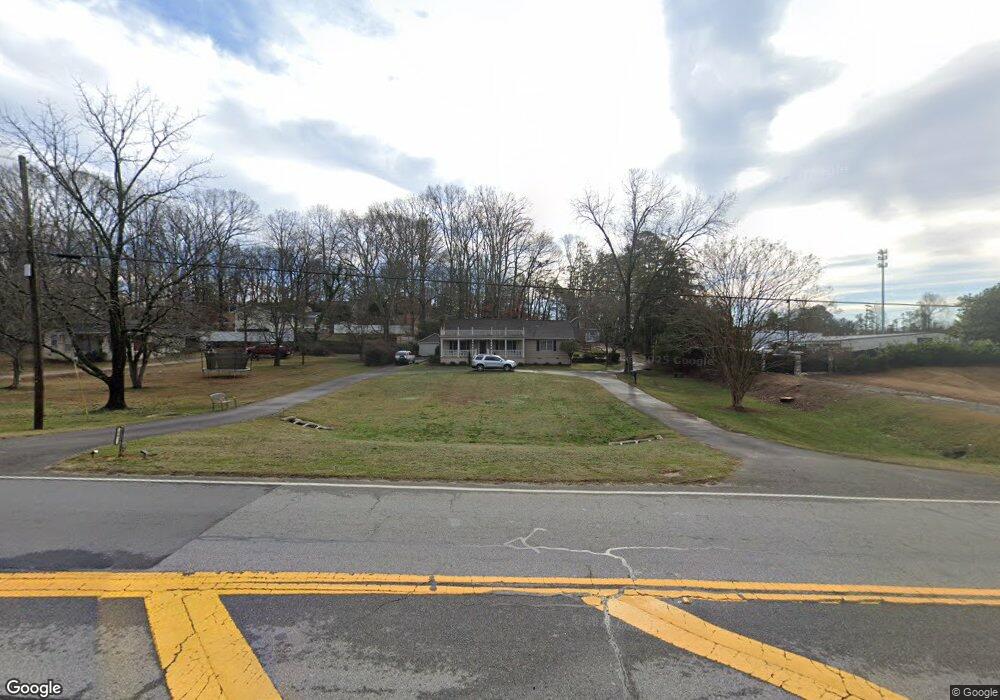
683 Buford Hwy Sugar Hill, GA 30518
Estimated Value: $448,000 - $549,000
4
Beds
3
Baths
2,905
Sq Ft
$170/Sq Ft
Est. Value
About This Home
This home is located at 683 Buford Hwy, Sugar Hill, GA 30518 and is currently estimated at $493,624, approximately $169 per square foot. 683 Buford Hwy is a home located in Gwinnett County with nearby schools including Roberts Elementary School, North Gwinnett Middle School, and North Gwinnett High School.
Ownership History
Date
Name
Owned For
Owner Type
Purchase Details
Closed on
Dec 27, 2021
Sold by
Brown Rennis W
Bought by
Pricision Properties Llc
Current Estimated Value
Home Financials for this Owner
Home Financials are based on the most recent Mortgage that was taken out on this home.
Original Mortgage
$360,000
Outstanding Balance
$218,904
Interest Rate
3.12%
Mortgage Type
Commercial
Estimated Equity
$274,720
Create a Home Valuation Report for This Property
The Home Valuation Report is an in-depth analysis detailing your home's value as well as a comparison with similar homes in the area
Home Values in the Area
Average Home Value in this Area
Purchase History
| Date | Buyer | Sale Price | Title Company |
|---|---|---|---|
| Pricision Properties Llc | $450,000 | -- |
Source: Public Records
Mortgage History
| Date | Status | Borrower | Loan Amount |
|---|---|---|---|
| Open | Pricision Properties Llc | $360,000 |
Source: Public Records
Tax History Compared to Growth
Tax History
| Year | Tax Paid | Tax Assessment Tax Assessment Total Assessment is a certain percentage of the fair market value that is determined by local assessors to be the total taxable value of land and additions on the property. | Land | Improvement |
|---|---|---|---|---|
| 2025 | $5,331 | $136,000 | $44,400 | $91,600 |
| 2024 | $5,380 | $136,000 | $44,400 | $91,600 |
| 2023 | $5,380 | $141,840 | $44,400 | $97,440 |
| 2022 | $4,392 | $109,200 | $24,760 | $84,440 |
| 2021 | $1,343 | $109,200 | $24,760 | $84,440 |
| 2020 | $1,343 | $109,200 | $24,760 | $84,440 |
| 2019 | $1,238 | $97,560 | $20,040 | $77,520 |
| 2018 | $1,221 | $97,560 | $20,040 | $77,520 |
| 2016 | $1,261 | $97,560 | $20,040 | $77,520 |
| 2015 | $1,281 | $97,560 | $20,040 | $77,520 |
| 2014 | $1,293 | $70,080 | $20,560 | $49,520 |
Source: Public Records
Map
Nearby Homes
- 5428 Howington Ct Unit 186
- 5440 Howington Ct Unit 190
- 707 Dodd Trail Unit 164
- 4209 Tifton Ln
- 617 Millcroft Blvd
- 4310 Woodward Walk Ln
- 5422 Howington Ct Unit 183
- 4247 Millcroft Place Unit 201
- 4217 Heisenberg Ln
- 4912 Molder Ave Unit 66
- 4154 Hawking Dr
- 4920 Molder Ave Unit 62
- The Glendale Plan at Millcroft - Townhomes
- The Stockton Plan at Millcroft - The Classic Collection
- 4223 Millcroft Place Unit 211
- 4231 Millcroft Place Unit 207
- 4450 Woodward Walk Ln
- 0 Buford Hwy Unit 10450757
- 0 Buford Hwy Unit 7517591
- 707 Dodd Ln
- 693 Buford Hwy
- 4296 High St
- 4286 High St
- 948 Howington Way
- 5446 Howington Ct Unit 193
- 5442 Howington Ct
- 4276 High St
- 703 Buford Hwy
- 700 Buford Hwy
- 4287 High St
- 717 Buford Hwy
- 4277 High St
- 674 Buford Hwy
- 4256 High St
- 721 Buford Hwy NE
- 4298 Woodward Mill Rd
- 653 Buford Hwy
- 4257 High St
- 4246 High St
- 4236 High St