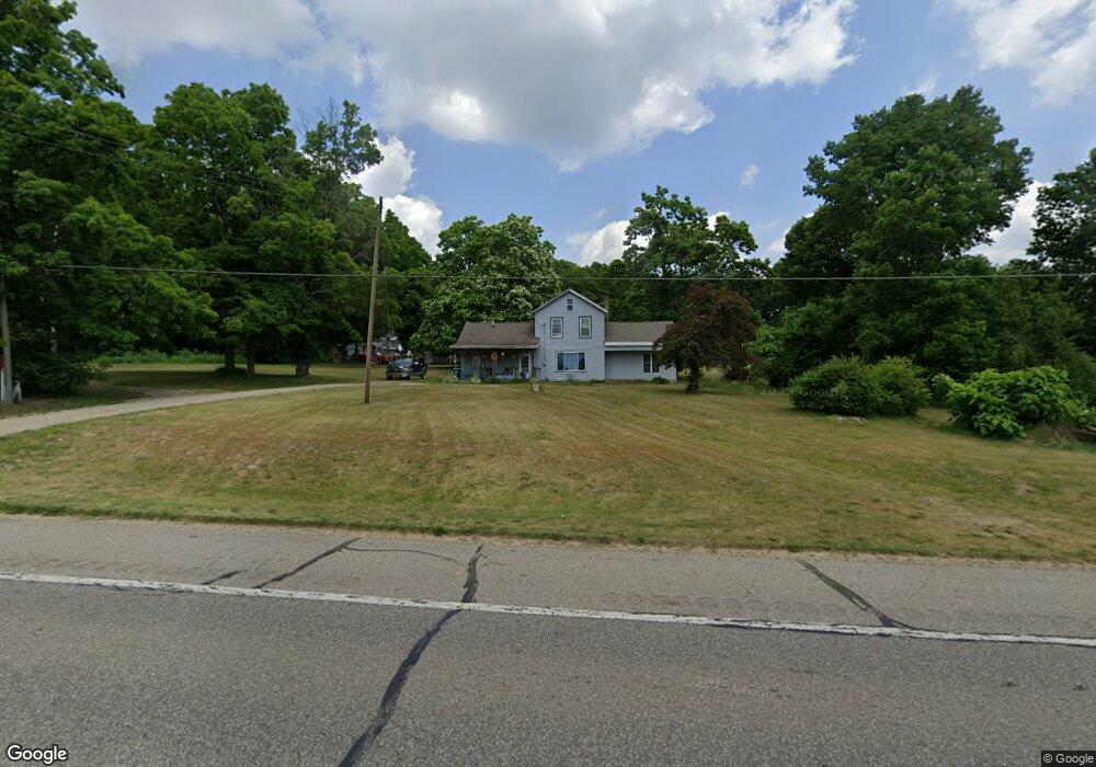
683 Lincoln Rd Otsego, MI 49078
Estimated Value: $384,000 - $414,375
--
Bed
3
Baths
2,752
Sq Ft
$146/Sq Ft
Est. Value
About This Home
This home is located at 683 Lincoln Rd, Otsego, MI 49078 and is currently estimated at $400,792, approximately $145 per square foot. 683 Lincoln Rd is a home located in Allegan County with nearby schools including Otsego High School, Otsego Christian Academy, and St. Margaret School.
Ownership History
Date
Name
Owned For
Owner Type
Purchase Details
Closed on
Jun 22, 2006
Sold by
Rau Helen C and Revocable Trust Agreement Of H
Bought by
Vanorder Richard and Vanorder Bonnie
Current Estimated Value
Purchase Details
Closed on
Feb 7, 2003
Sold by
Hall Carl and Hall Annette
Bought by
Vanorder Richard and Vanorder Bonnie
Home Financials for this Owner
Home Financials are based on the most recent Mortgage that was taken out on this home.
Original Mortgage
$84,209
Interest Rate
6.06%
Purchase Details
Closed on
Jun 20, 1996
Sold by
Hall Carl and Hall Wf
Bought by
Vanorder Richard and Vanorder Bonnie
Create a Home Valuation Report for This Property
The Home Valuation Report is an in-depth analysis detailing your home's value as well as a comparison with similar homes in the area
Home Values in the Area
Average Home Value in this Area
Purchase History
| Date | Buyer | Sale Price | Title Company |
|---|---|---|---|
| Vanorder Richard | -- | Devon Title Agency | |
| Vanorder Richard | $75,000 | -- | |
| Vanorder Richard | $75,000 | -- |
Source: Public Records
Mortgage History
| Date | Status | Borrower | Loan Amount |
|---|---|---|---|
| Previous Owner | Vanorder Richard | $84,209 |
Source: Public Records
Tax History Compared to Growth
Tax History
| Year | Tax Paid | Tax Assessment Tax Assessment Total Assessment is a certain percentage of the fair market value that is determined by local assessors to be the total taxable value of land and additions on the property. | Land | Improvement |
|---|---|---|---|---|
| 2025 | $2,654 | $179,400 | $31,800 | $147,600 |
| 2024 | $2,240 | $154,900 | $27,100 | $127,800 |
| 2023 | $2,280 | $132,600 | $26,600 | $106,000 |
| 2022 | $2,240 | $124,400 | $26,600 | $97,800 |
| 2021 | $2,116 | $114,300 | $22,200 | $92,100 |
| 2020 | $2,131 | $99,500 | $20,800 | $78,700 |
| 2019 | $2,021 | $97,800 | $20,500 | $77,300 |
| 2018 | $1,978 | $92,300 | $19,900 | $72,400 |
| 2017 | $0 | $93,900 | $12,000 | $81,900 |
| 2016 | $0 | $87,800 | $12,000 | $75,800 |
| 2015 | -- | $87,800 | $12,000 | $75,800 |
| 2014 | $1,941 | $75,300 | $12,200 | $63,100 |
| 2013 | $1,941 | $59,800 | $12,800 | $47,000 |
Source: Public Records
Map
Nearby Homes
- 589 Lincoln Rd
- 2108 Fox Mountain Dr
- 552 19th St
- 722 River Rd
- 602 Lincoln Rd
- 849 18th St
- 2044 110th Ave
- 908 Double Eagle Dr
- 902 Double Eagle Dr
- 624 Nicholson St
- 1711 108th Ave
- 2331 105th Ave
- 365 W Orleans St
- 346 W Orleans St
- 0 Briarwood St Unit 25002251
- 2435 108th Ave
- 828 N 16th St
- 233 W Hammond St
- 132 W River St
- 743 25th St