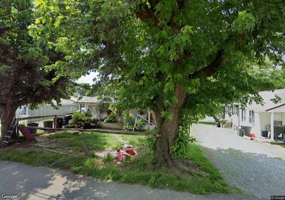
683 Musterfield Rd Newport, TN 37821
Estimated Value: $71,000 - $111,000
--
Bed
1
Bath
744
Sq Ft
$130/Sq Ft
Est. Value
About This Home
This home is located at 683 Musterfield Rd, Newport, TN 37821 and is currently estimated at $96,750, approximately $130 per square foot. 683 Musterfield Rd is a home located in Cocke County with nearby schools including Newport Grammar School, Grace Christian School, and Calvary Baptist Tabernacle School.
Ownership History
Date
Name
Owned For
Owner Type
Purchase Details
Closed on
Aug 29, 2008
Sold by
Shults Jimmy Lynn
Bought by
Mitchell Kimberly
Current Estimated Value
Purchase Details
Closed on
May 31, 2006
Sold by
Freshour Dennis James Et A
Bought by
Shults Jimmy Lynn
Home Financials for this Owner
Home Financials are based on the most recent Mortgage that was taken out on this home.
Original Mortgage
$24,650
Interest Rate
6.5%
Mortgage Type
Cash
Purchase Details
Closed on
May 27, 1993
Bought by
Freshour Dennis James and Freshour Heidi K Russell
Create a Home Valuation Report for This Property
The Home Valuation Report is an in-depth analysis detailing your home's value as well as a comparison with similar homes in the area
Home Values in the Area
Average Home Value in this Area
Purchase History
| Date | Buyer | Sale Price | Title Company |
|---|---|---|---|
| Mitchell Kimberly | -- | -- | |
| Shults Jimmy Lynn | $33,000 | -- | |
| Freshour Dennis James | $21,000 | -- |
Source: Public Records
Mortgage History
| Date | Status | Borrower | Loan Amount |
|---|---|---|---|
| Previous Owner | Freshour Dennis James | $24,650 |
Source: Public Records
Tax History Compared to Growth
Tax History
| Year | Tax Paid | Tax Assessment Tax Assessment Total Assessment is a certain percentage of the fair market value that is determined by local assessors to be the total taxable value of land and additions on the property. | Land | Improvement |
|---|---|---|---|---|
| 2024 | -- | $14,600 | $4,500 | $10,100 |
| 2023 | $0 | $14,600 | $4,500 | $10,100 |
| 2022 | $726 | $14,600 | $4,500 | $10,100 |
| 2021 | $726 | $14,600 | $4,500 | $10,100 |
| 2020 | $0 | $14,600 | $4,500 | $10,100 |
| 2019 | $531 | $9,700 | $2,300 | $7,400 |
| 2018 | $531 | $9,700 | $2,300 | $7,400 |
| 2017 | $561 | $9,700 | $2,300 | $7,400 |
| 2016 | $531 | $9,700 | $2,300 | $7,400 |
| 2015 | $407 | $9,700 | $2,300 | $7,400 |
| 2014 | $407 | $9,700 | $2,300 | $7,400 |
| 2013 | $407 | $9,825 | $2,150 | $7,675 |
Source: Public Records
Map
Nearby Homes
- 141 Hiola St
- 640 N Cecil St
- 613 North St
- 278 Harvest St
- 000 Cindy jo Rd
- 300 Harvest St
- 582 Cindy jo Rd
- 380 Clifton Heights Rd
- 0 Alpine Rd
- 294 Clifton Heights Rd
- 401 North St
- 240 Clifton Heights Rd
- 499 Long Ave Unit LOT 16
- 0 Long Ave
- 580 Jessica Way
- 228 Washington Ave
- 573 Banjo Way
- 208 Mims Ave
- 286 Belton Ave
- 000 E Highway 25 70
- 687 Musterfield Rd
- 640 State St
- 688 Musterfield Rd
- 675 Musterfield Rd
- 658 State St
- 680 Musterfield Rd
- 630 State St
- 651 State St
- 672 Musterfield Rd
- 725 Thompson St
- 214 Front St
- 733 Thompson St
- 704 Melrose Way Unit 706
- 710 Thompson St
- 655 State St
- 711 Melrose Way Unit 725
- 668 Musterfield Rd
- 0 Melrose Way Unit 711
- 726 Thompson St
- 213 Front St