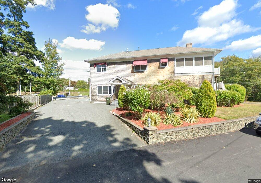
683 State Rd Westport, MA 02790
North Westport NeighborhoodEstimated Value: $625,986
6
Beds
2
Baths
3,438
Sq Ft
$182/Sq Ft
Est. Value
About This Home
This home is located at 683 State Rd, Westport, MA 02790 and is currently estimated at $625,986, approximately $182 per square foot. 683 State Rd is a home located in Bristol County with nearby schools including Alice A. Macomber Primary School, Westport Elementary School, and Westport Middle-High School.
Ownership History
Date
Name
Owned For
Owner Type
Purchase Details
Closed on
Dec 26, 2018
Sold by
683 State Road Llc
Bought by
Patricia Rosselli Realty
Current Estimated Value
Home Financials for this Owner
Home Financials are based on the most recent Mortgage that was taken out on this home.
Original Mortgage
$309,500
Outstanding Balance
$273,207
Interest Rate
4.8%
Mortgage Type
New Conventional
Estimated Equity
$352,779
Purchase Details
Closed on
Aug 1, 2014
Sold by
Gallant Mark T
Bought by
683 State Road Llc
Purchase Details
Closed on
Aug 10, 2000
Sold by
Bruce Barbara and Stoderl Barbara
Bought by
Gallant Mark T
Home Financials for this Owner
Home Financials are based on the most recent Mortgage that was taken out on this home.
Original Mortgage
$131,600
Interest Rate
8.21%
Mortgage Type
Commercial
Create a Home Valuation Report for This Property
The Home Valuation Report is an in-depth analysis detailing your home's value as well as a comparison with similar homes in the area
Home Values in the Area
Average Home Value in this Area
Purchase History
| Date | Buyer | Sale Price | Title Company |
|---|---|---|---|
| Patricia Rosselli Realty | $375,000 | -- | |
| 683 State Road Llc | -- | -- | |
| Gallant Mark T | $144,500 | -- |
Source: Public Records
Mortgage History
| Date | Status | Borrower | Loan Amount |
|---|---|---|---|
| Open | Patricia Rosselli Realty | $309,500 | |
| Previous Owner | Gallant Mark T | $380,000 | |
| Previous Owner | Gallant Mark T | $160,000 | |
| Previous Owner | Gallant Mark T | $131,600 |
Source: Public Records
Tax History Compared to Growth
Tax History
| Year | Tax Paid | Tax Assessment Tax Assessment Total Assessment is a certain percentage of the fair market value that is determined by local assessors to be the total taxable value of land and additions on the property. | Land | Improvement |
|---|---|---|---|---|
| 2025 | $4,264 | $572,300 | $211,400 | $360,900 |
| 2024 | $4,272 | $552,700 | $191,800 | $360,900 |
| 2023 | $4,276 | $524,000 | $179,500 | $344,500 |
| 2022 | $4,300 | $507,100 | $179,500 | $327,600 |
| 2021 | $4,232 | $490,900 | $163,300 | $327,600 |
| 2020 | $3,981 | $472,200 | $163,300 | $308,900 |
| 2019 | $3,938 | $476,200 | $163,300 | $312,900 |
| 2018 | $3,866 | $473,200 | $156,400 | $316,800 |
| 2017 | $3,771 | $473,200 | $156,400 | $316,800 |
| 2016 | $3,743 | $473,200 | $156,400 | $316,800 |
| 2015 | $3,775 | $476,100 | $155,300 | $320,800 |
Source: Public Records
Map
Nearby Homes
- 683 State Rd Unit 1
- 683 State Rd Unit 2
- 13 E Briggs Rd
- 8 E Briggs Rd
- 12 E Briggs Rd
- 693 State Rd
- 17 E Briggs Rd
- 18 E Briggs Rd
- Lot 31 A B River Rd
- 692 State Rd Unit 698
- 655 State Rd
- 655 State Rd Unit 210
- 655 State Rd Unit 2_R
- 655 State Rd Unit 4 - R
- 655 State Rd Unit 5 - R
- 655 State Rd Unit 1
- 655 State Rd Unit 5B
- 655 State Rd Unit 4
- 655 State Rd Unit 301
- 655 State Rd Unit 208