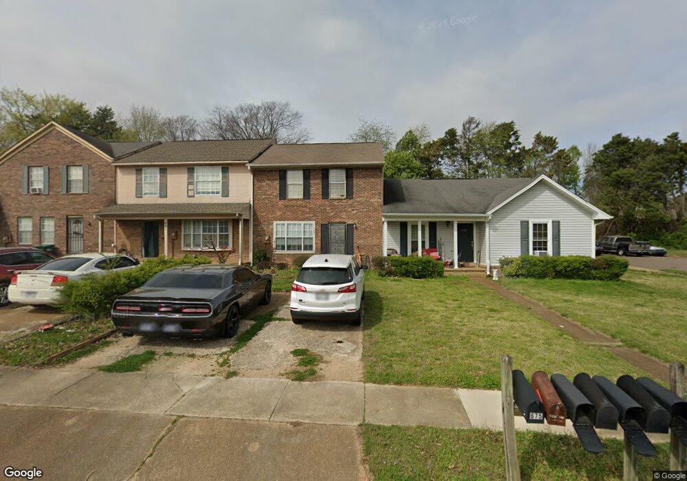
683 Walker Rd Jackson, TN 38305
Estimated Value: $142,000 - $186,000
2
Beds
3
Baths
1,488
Sq Ft
$109/Sq Ft
Est. Value
About This Home
This home is located at 683 Walker Rd, Jackson, TN 38305 and is currently estimated at $162,333, approximately $109 per square foot. 683 Walker Rd is a home located in Madison County with nearby schools including Pope School, Northeast Middle School, and North Side High School.
Ownership History
Date
Name
Owned For
Owner Type
Purchase Details
Closed on
Apr 30, 2025
Sold by
Mgm Properties
Bought by
Lone Oak Holdings Llc
Current Estimated Value
Home Financials for this Owner
Home Financials are based on the most recent Mortgage that was taken out on this home.
Original Mortgage
$890,000
Interest Rate
5.83%
Mortgage Type
Construction
Purchase Details
Closed on
Jan 1, 2015
Sold by
Goodrich Clayton A
Bought by
Mgm Properties
Purchase Details
Closed on
Mar 18, 2013
Sold by
Collins Etheleen
Bought by
Goodrich Clayton and Goodrich Haley
Home Financials for this Owner
Home Financials are based on the most recent Mortgage that was taken out on this home.
Original Mortgage
$51,000
Interest Rate
3.57%
Mortgage Type
Commercial
Purchase Details
Closed on
Jan 1, 1985
Bought by
Collins Etheleen
Purchase Details
Closed on
Dec 28, 1984
Purchase Details
Closed on
Jan 4, 1984
Purchase Details
Closed on
Apr 1, 1981
Create a Home Valuation Report for This Property
The Home Valuation Report is an in-depth analysis detailing your home's value as well as a comparison with similar homes in the area
Purchase History
| Date | Buyer | Sale Price | Title Company |
|---|---|---|---|
| Lone Oak Holdings Llc | $947,200 | None Listed On Document | |
| Mgm Properties | -- | -- | |
| Goodrich Clayton | $60,000 | -- | |
| Collins Etheleen | $54,500 | -- | |
| -- | -- | -- | |
| -- | -- | -- | |
| -- | -- | -- |
Source: Public Records
Mortgage History
| Date | Status | Borrower | Loan Amount |
|---|---|---|---|
| Closed | Lone Oak Holdings Llc | $890,000 | |
| Previous Owner | Goodrich Clayton | $51,000 |
Source: Public Records
Tax History Compared to Growth
Tax History
| Year | Tax Paid | Tax Assessment Tax Assessment Total Assessment is a certain percentage of the fair market value that is determined by local assessors to be the total taxable value of land and additions on the property. | Land | Improvement |
|---|---|---|---|---|
| 2025 | $382 | $20,400 | $3,750 | $16,650 |
| 2024 | $382 | $20,400 | $3,750 | $16,650 |
| 2022 | $711 | $20,400 | $3,750 | $16,650 |
| 2021 | $717 | $16,625 | $3,075 | $13,550 |
| 2020 | $717 | $16,625 | $3,075 | $13,550 |
| 2019 | $717 | $16,625 | $3,075 | $13,550 |
| 2018 | $717 | $16,625 | $3,075 | $13,550 |
| 2017 | $716 | $16,225 | $3,075 | $13,150 |
| 2016 | $667 | $16,225 | $3,075 | $13,150 |
| 2015 | $667 | $16,225 | $3,075 | $13,150 |
| 2014 | $667 | $16,225 | $3,075 | $13,150 |
Source: Public Records
Map
Nearby Homes
- 669 Walker Rd
- 645 Walker Rd
- 2949 Highway 45 Bypass Frontage Rd
- 208 Murray Guard Dr
- 224 Murray Guard Dr
- 50 Windfield Cove
- 198 Murray Guard Dr
- 202 Murray Guard Dr
- 178 Murray Guard Dr
- 182 Murray Guard Dr
- 85 Weatheridge Dr
- 49 Plainsbrook Place
- 00 Sterling Farm Dr
- 0 - A Sterling Farm Dr
- 0 - N Highway 45 Bypass Frontage
- 43 Paddock Place
- 11 Deer Pointe
- 91 N Star Dr
- 63 Starwood Cove
- 45 Wyndhurst Dr