6833 Lovel Cook Rd Springfield, TN 37172
Estimated Value: $298,167 - $443,000
--
Bed
2
Baths
2,097
Sq Ft
$184/Sq Ft
Est. Value
About This Home
This home is located at 6833 Lovel Cook Rd, Springfield, TN 37172 and is currently estimated at $386,042, approximately $184 per square foot. 6833 Lovel Cook Rd is a home located in Robertson County with nearby schools including East Robertson Elementary School and East Robertson High School.
Ownership History
Date
Name
Owned For
Owner Type
Purchase Details
Closed on
Apr 7, 2023
Sold by
Ayers Ginger
Bought by
Ayers Triston M
Current Estimated Value
Home Financials for this Owner
Home Financials are based on the most recent Mortgage that was taken out on this home.
Original Mortgage
$157,102
Outstanding Balance
$152,655
Interest Rate
6.5%
Mortgage Type
FHA
Estimated Equity
$233,387
Purchase Details
Closed on
Aug 7, 1987
Bought by
Ayers James B and Ayers Ginger
Create a Home Valuation Report for This Property
The Home Valuation Report is an in-depth analysis detailing your home's value as well as a comparison with similar homes in the area
Home Values in the Area
Average Home Value in this Area
Purchase History
| Date | Buyer | Sale Price | Title Company |
|---|---|---|---|
| Ayers Triston M | $160,000 | -- | |
| Ayers James B | -- | -- |
Source: Public Records
Mortgage History
| Date | Status | Borrower | Loan Amount |
|---|---|---|---|
| Open | Ayers Triston M | $157,102 |
Source: Public Records
Tax History Compared to Growth
Tax History
| Year | Tax Paid | Tax Assessment Tax Assessment Total Assessment is a certain percentage of the fair market value that is determined by local assessors to be the total taxable value of land and additions on the property. | Land | Improvement |
|---|---|---|---|---|
| 2024 | $1,327 | $73,725 | $17,200 | $56,525 |
| 2023 | $1,327 | $73,725 | $17,200 | $56,525 |
| 2022 | $841 | $32,650 | $7,900 | $24,750 |
| 2021 | $841 | $32,650 | $7,900 | $24,750 |
| 2020 | $841 | $32,650 | $7,900 | $24,750 |
| 2019 | $841 | $32,650 | $7,900 | $24,750 |
| 2018 | $841 | $32,650 | $7,900 | $24,750 |
| 2017 | $862 | $27,950 | $5,550 | $22,400 |
| 2016 | $862 | $27,950 | $5,550 | $22,400 |
| 2015 | $827 | $27,950 | $5,550 | $22,400 |
| 2014 | $827 | $27,950 | $5,550 | $22,400 |
Source: Public Records
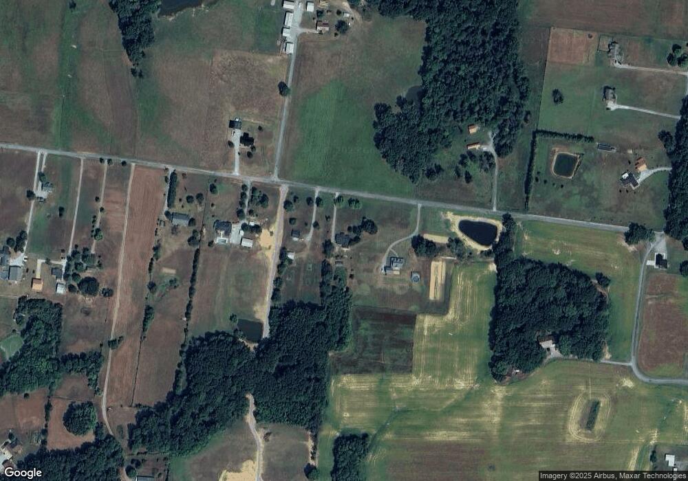
Map
Nearby Homes
- 6809 Lovel Cook Rd
- 4616 Woodrow Wilson Rd
- 0 Woodrow Wilson Rd
- 4540 Roy Cole Rd
- 3966 Baggett Rd
- 12354 Owens Chapel Rd
- 7341 Ruby Keith Rd
- 4031 Wells Rd
- 4844 Homer Worsham Rd
- 7265 Highway 25 E
- 3972 Baggett Rd
- 4002 Baggett Rd
- 0 Homer Worsham Rd
- 3057 Chance Ct
- 0 Pinson Rd
- 9611 Cross Plains Rd
- 7452 Chowning Rd
- 4037 Weston Dr
- 200 S Cedar St
- 6012 Bethlehem Rd
- 6843 Lovel Cook Rd
- 6821 Lovel Cook Rd
- 6815 Lovel Cook Rd
- 6812 Lovel Cook Rd
- 6803 Lovel Cook Rd
- 1071 C Cook Rd
- 6775 Lovel Cook Rd
- 4310 Oregon Rd
- 4322 Oregon Rd
- 6771 Lovel Cook Rd
- 6769 Lovel Cook Rd
- 4299 Oregon Rd
- 6781 Lovel Cook Rd
- 4340 Oregon Rd
- 6763 Lovel Cook Rd
- 6763 Lovel Cook Rd
- 4184 Oregon Rd
- 6757 Lovel Cook Rd
- 6745 Lovel Cook Rd
- 4178 Oregon Rd