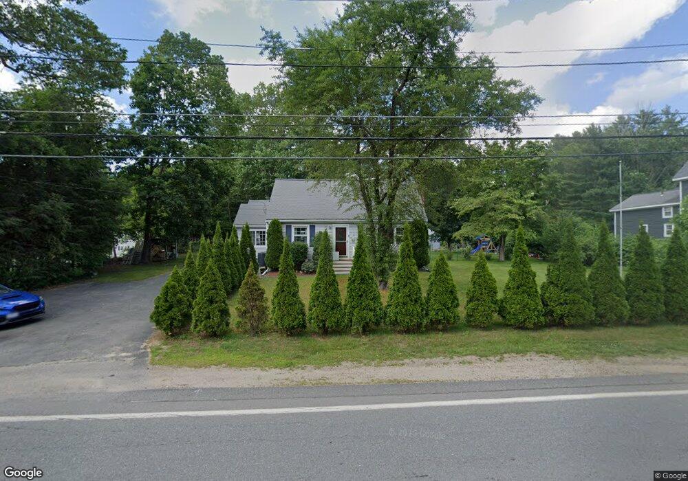
684 Common St Walpole, MA 02081
Estimated Value: $596,000 - $685,000
3
Beds
2
Baths
1,387
Sq Ft
$460/Sq Ft
Est. Value
About This Home
This home is located at 684 Common St, Walpole, MA 02081 and is currently estimated at $637,931, approximately $459 per square foot. 684 Common St is a home located in Norfolk County with nearby schools including Boyden School, Eleanor N. Johnson Middle School, and Walpole High School.
Ownership History
Date
Name
Owned For
Owner Type
Purchase Details
Closed on
May 31, 2002
Sold by
Carpeno Donald J
Bought by
Vengren James D and Vengren Cherri M
Current Estimated Value
Home Financials for this Owner
Home Financials are based on the most recent Mortgage that was taken out on this home.
Original Mortgage
$60,000
Outstanding Balance
$25,710
Interest Rate
7%
Mortgage Type
Purchase Money Mortgage
Estimated Equity
$612,221
Create a Home Valuation Report for This Property
The Home Valuation Report is an in-depth analysis detailing your home's value as well as a comparison with similar homes in the area
Home Values in the Area
Average Home Value in this Area
Purchase History
| Date | Buyer | Sale Price | Title Company |
|---|---|---|---|
| Vengren James D | $100,000 | -- |
Source: Public Records
Mortgage History
| Date | Status | Borrower | Loan Amount |
|---|---|---|---|
| Open | Vengren James D | $60,000 |
Source: Public Records
Tax History
| Year | Tax Paid | Tax Assessment Tax Assessment Total Assessment is a certain percentage of the fair market value that is determined by local assessors to be the total taxable value of land and additions on the property. | Land | Improvement |
|---|---|---|---|---|
| 2025 | $7,067 | $550,800 | $295,400 | $255,400 |
| 2024 | $6,829 | $516,600 | $284,000 | $232,600 |
| 2023 | $6,667 | $480,000 | $247,000 | $233,000 |
| 2022 | $6,299 | $435,600 | $228,700 | $206,900 |
| 2021 | $6,107 | $411,500 | $215,700 | $195,800 |
| 2020 | $6,111 | $407,700 | $203,500 | $204,200 |
| 2019 | $5,925 | $392,400 | $195,700 | $196,700 |
| 2018 | $5,488 | $359,400 | $188,900 | $170,500 |
| 2017 | $5,295 | $345,400 | $181,700 | $163,700 |
| 2016 | $5,146 | $330,700 | $174,800 | $155,900 |
| 2015 | $4,982 | $317,300 | $166,600 | $150,700 |
| 2014 | $4,818 | $305,700 | $166,600 | $139,100 |
Source: Public Records
Map
Nearby Homes
- 0 U S Route 1
- 587 Common St
- 635 Old Post Rd Unit 303
- 635 Old Post Rd Unit 302
- 635 Old Post Rd Unit 2-203
- 6 Eleanor Rd
- 37 Alice Ave
- 1549 Washington St Unit A
- 3 Stone Hill Terrace
- 1 Palace Ct
- 145 South St Unit 5
- 1 Providence Hwy
- 50 Riverside Place
- 224 School St Unit 9
- 222 School St Unit 9
- 1391 Main St Unit 308
- 1391 Main St Unit 306
- 1391 Main St Unit 304
- 1110 Main St
- 9 Pearl St
- 688 Common St
- 688 Common St Unit 1
- 688 Common St Unit 2
- 680 Common St
- 929 Old Post Rd
- 692 Common St Unit 696
- 692 Common St Unit 1
- 673 Common St
- 676 Common St
- 671 Common St
- 3 Hawthorne Dr
- 681 Common St
- 685 Common St
- 8 Morningside Dr
- 481 Old Post Rd
- 672 Common St
- 695 Common St
- 7 Hawthorne Dr
- 16 Morningside Dr
- 475 Old Post Rd
Your Personal Tour Guide
Ask me questions while you tour the home.