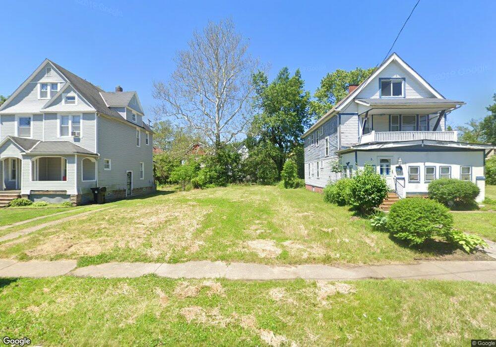
684 E 117th St Cleveland, OH 44108
Forest Hills Neighborhood
8
Beds
4
Baths
4,506
Sq Ft
4,792
Sq Ft Lot
About This Home
This home is located at 684 E 117th St, Cleveland, OH 44108. 684 E 117th St is a home located in Cuyahoga County with nearby schools including Citizens Academy and St. Aloysius - St. Agatha School.
Ownership History
Date
Name
Owned For
Owner Type
Purchase Details
Closed on
Apr 23, 2013
Sold by
Cuyahoga County Land Reutilization Corpo
Bought by
City Of Cleveland Land Reutilization Pro
Purchase Details
Closed on
Nov 17, 2011
Sold by
Gadsen Family Holding Llc
Bought by
Cuyahoga County Land Reutilization Corpo
Purchase Details
Closed on
May 29, 2007
Sold by
Citimortgage Inc
Bought by
Gadsen Family Holdings Llc
Purchase Details
Closed on
Feb 24, 2006
Sold by
Rand William C
Bought by
Citimortgage Inc
Purchase Details
Closed on
Apr 16, 1985
Sold by
Gray John Henry
Bought by
Jackson Sandra P
Purchase Details
Closed on
Jan 1, 1975
Bought by
Gray John Henry
Create a Home Valuation Report for This Property
The Home Valuation Report is an in-depth analysis detailing your home's value as well as a comparison with similar homes in the area
Home Values in the Area
Average Home Value in this Area
Purchase History
| Date | Buyer | Sale Price | Title Company |
|---|---|---|---|
| City Of Cleveland Land Reutilization Pro | -- | Attorney | |
| Cuyahoga County Land Reutilization Corpo | $12,566 | None Available | |
| Gadsen Family Holdings Llc | $14,000 | Accu Title | |
| Citimortgage Inc | $56,700 | Attorney | |
| Jackson Sandra P | $29,800 | -- | |
| Gray John Henry | -- | -- |
Source: Public Records
Tax History
| Year | Tax Paid | Tax Assessment Tax Assessment Total Assessment is a certain percentage of the fair market value that is determined by local assessors to be the total taxable value of land and additions on the property. | Land | Improvement |
|---|---|---|---|---|
| 2024 | -- | $700 | $700 | -- |
| 2022 | $0 | $1,400 | $1,400 | $0 |
| 2021 | $0 | $1,400 | $1,400 | $0 |
| 2020 | $0 | $1,400 | $1,400 | $0 |
| 2019 | $0 | $0 | $0 | $0 |
| 2018 | $0 | $1,400 | $1,400 | $0 |
| 2017 | $0 | $0 | $0 | $0 |
| 2016 | $0 | $0 | $0 | $0 |
| 2015 | -- | $0 | $0 | $0 |
| 2014 | -- | $0 | $0 | $0 |
Source: Public Records
Map
Nearby Homes
Your Personal Tour Guide
Ask me questions while you tour the home.