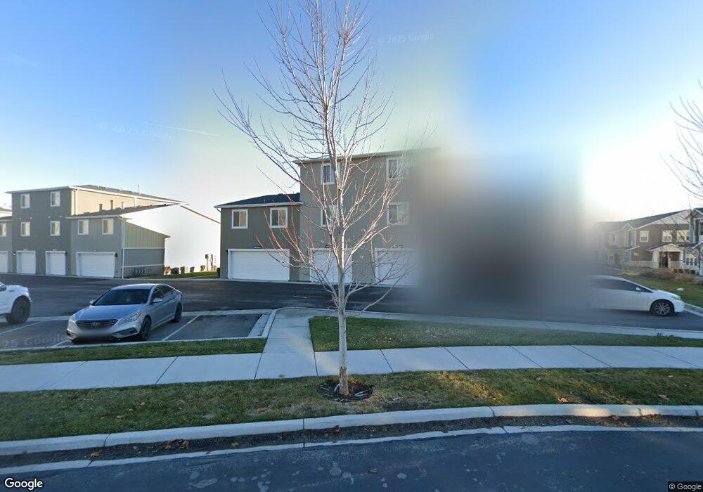
684 E 550 S American Fork, UT 84003
Estimated Value: $408,000 - $435,000
3
Beds
3
Baths
1,845
Sq Ft
$226/Sq Ft
Est. Value
About This Home
This home is located at 684 E 550 S, American Fork, UT 84003 and is currently estimated at $417,814, approximately $226 per square foot. 684 E 550 S is a home located in Utah County with nearby schools including American Fork Junior High School, American Fork High School, and Athenian eAcademy.
Ownership History
Date
Name
Owned For
Owner Type
Purchase Details
Closed on
Jul 22, 2020
Sold by
Nielson Spencer Jay and Nielson Ashley Camille
Bought by
Thorn John and Thorn Kyle
Current Estimated Value
Home Financials for this Owner
Home Financials are based on the most recent Mortgage that was taken out on this home.
Original Mortgage
$224,000
Outstanding Balance
$198,628
Interest Rate
3.1%
Mortgage Type
New Conventional
Estimated Equity
$219,186
Purchase Details
Closed on
Feb 22, 2018
Sold by
Loveday Lance
Bought by
Nielson Spencer Jay and Nielson Ashley Camille
Home Financials for this Owner
Home Financials are based on the most recent Mortgage that was taken out on this home.
Original Mortgage
$230,860
Interest Rate
3.99%
Mortgage Type
New Conventional
Purchase Details
Closed on
Dec 5, 2016
Sold by
Vertical Devlopment Lc
Bought by
Loveday Lance
Create a Home Valuation Report for This Property
The Home Valuation Report is an in-depth analysis detailing your home's value as well as a comparison with similar homes in the area
Home Values in the Area
Average Home Value in this Area
Purchase History
| Date | Buyer | Sale Price | Title Company |
|---|---|---|---|
| Thorn John | -- | Backman Title Services Ltd | |
| Nielson Spencer Jay | -- | Highland Title | |
| Loveday Lance | -- | United West Title |
Source: Public Records
Mortgage History
| Date | Status | Borrower | Loan Amount |
|---|---|---|---|
| Open | Thorn John | $224,000 | |
| Previous Owner | Nielson Spencer Jay | $230,860 |
Source: Public Records
Tax History
| Year | Tax Paid | Tax Assessment Tax Assessment Total Assessment is a certain percentage of the fair market value that is determined by local assessors to be the total taxable value of land and additions on the property. | Land | Improvement |
|---|---|---|---|---|
| 2025 | $1,966 | $219,560 | -- | -- |
| 2024 | $1,966 | $218,460 | $0 | $0 |
| 2023 | $1,761 | $207,460 | $0 | $0 |
| 2022 | $2,036 | $236,665 | $0 | $0 |
| 2021 | $1,668 | $302,900 | $45,400 | $257,500 |
| 2020 | $1,447 | $254,800 | $38,200 | $216,600 |
| 2019 | $1,258 | $229,100 | $34,400 | $194,700 |
| 2018 | $1,258 | $219,100 | $32,900 | $186,200 |
| 2017 | $532 | $50,000 | $0 | $0 |
Source: Public Records
Map
Nearby Homes
Your Personal Tour Guide
Ask me questions while you tour the home.