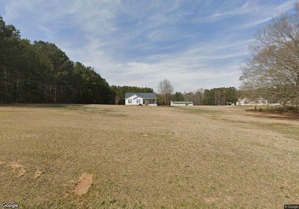
684 Simpson Rd Honea Path, SC 29654
Estimated Value: $274,000 - $323,000
3
Beds
--
Bath
1,922
Sq Ft
$154/Sq Ft
Est. Value
About This Home
This home is located at 684 Simpson Rd, Honea Path, SC 29654 and is currently estimated at $295,150, approximately $153 per square foot. 684 Simpson Rd is a home with nearby schools including Belton Honea Path High School.
Ownership History
Date
Name
Owned For
Owner Type
Purchase Details
Closed on
Sep 7, 2005
Sold by
Federal Home Loan Mortgage Corporation
Bought by
Mcclung Eric
Current Estimated Value
Home Financials for this Owner
Home Financials are based on the most recent Mortgage that was taken out on this home.
Original Mortgage
$108,500
Outstanding Balance
$57,353
Interest Rate
5.66%
Mortgage Type
New Conventional
Estimated Equity
$237,797
Purchase Details
Closed on
Apr 26, 2005
Sold by
Coker Darrin R and Abn Amro Mortgage Group Inc
Bought by
Federal Home Loan Mortgage Corporation
Create a Home Valuation Report for This Property
The Home Valuation Report is an in-depth analysis detailing your home's value as well as a comparison with similar homes in the area
Home Values in the Area
Average Home Value in this Area
Purchase History
| Date | Buyer | Sale Price | Title Company |
|---|---|---|---|
| Mcclung Eric | $118,500 | -- | |
| Federal Home Loan Mortgage Corporation | $142,500 | -- |
Source: Public Records
Mortgage History
| Date | Status | Borrower | Loan Amount |
|---|---|---|---|
| Open | Mcclung Eric | $108,500 |
Source: Public Records
Tax History
| Year | Tax Paid | Tax Assessment Tax Assessment Total Assessment is a certain percentage of the fair market value that is determined by local assessors to be the total taxable value of land and additions on the property. | Land | Improvement |
|---|---|---|---|---|
| 2024 | $3,710 | $10,840 | $1,530 | $9,310 |
| 2023 | $3,626 | $10,840 | $1,530 | $9,310 |
| 2022 | $3,496 | $10,840 | $1,530 | $9,310 |
| 2021 | $3,106 | $9,150 | $1,330 | $7,820 |
| 2020 | $3,070 | $9,150 | $1,330 | $7,820 |
| 2019 | $3,070 | $9,150 | $1,330 | $7,820 |
| 2018 | $3,088 | $9,150 | $1,330 | $7,820 |
| 2017 | -- | $9,150 | $1,330 | $7,820 |
| 2016 | $2,668 | $8,530 | $1,000 | $7,530 |
| 2015 | $2,749 | $8,530 | $1,000 | $7,530 |
| 2014 | $2,728 | $8,530 | $1,000 | $7,530 |
Source: Public Records
Map
Nearby Homes
- 105 Canfield Rd
- 0 Holiday Dam Rd Unit 26097306
- 0 Holiday Dam Rd Unit 1579809
- 105 Sally Reed Rd
- 00 Docheno Rd
- 11900 Belton Honea Path Hwy
- 204 Deer Trot Ave
- 00 Ellison Rd
- 1065 Smith Cir
- 108 Longshore Dr
- 608 Brown Ave
- 11306 Belton Honea Path Hwy
- 310 S Main St
- 229 Armstrong Rd
- 181 Peach Orchard Dr
- 104 Cox Dr
- River Street River St
- 310 River St
- 00 Holiday Dam Rd
- 304 Palmetto Pkwy
- 774 Simpson Rd
- 678 Simpson Rd
- 101 Canfield Rd
- 670 Simpson Rd
- 788 Simpson Rd
- 742 Simpson Rd
- 675 Simpson Rd
- 675 Simpson Rd
- 740 Simpson Rd
- 501 Pinson Farm Rd
- 106 Canfield Rd
- 605 Pinson Farm Rd
- 02 Simpson Rd
- 01 Simpson Rd
- 00 Simpson Rd
- 109 Canfield Rd
- 801 Simpson Rd
- 110 Canfield Rd
- 500 Pinson Farm Rd
- 344 Pinson Farm Rd
Your Personal Tour Guide
Ask me questions while you tour the home.