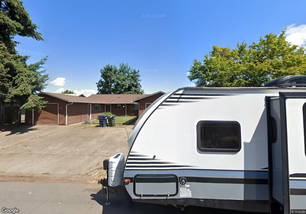
684 W Quinalt St Springfield, OR 97477
West Springfield NeighborhoodEstimated Value: $399,000 - $442,000
6
Beds
4
Baths
2,090
Sq Ft
$200/Sq Ft
Est. Value
About This Home
This home is located at 684 W Quinalt St, Springfield, OR 97477 and is currently estimated at $417,983, approximately $199 per square foot. 684 W Quinalt St is a home located in Lane County with nearby schools including Centennial Elementary School, Hamlin Middle School, and Springfield High School.
Ownership History
Date
Name
Owned For
Owner Type
Purchase Details
Closed on
Jun 3, 2009
Sold by
Morgan Vicki D
Bought by
Morgan Vicki D and Vicki D Morgan Trust
Current Estimated Value
Home Financials for this Owner
Home Financials are based on the most recent Mortgage that was taken out on this home.
Original Mortgage
$59,000
Interest Rate
5.02%
Mortgage Type
New Conventional
Purchase Details
Closed on
Apr 23, 2009
Sold by
Morgan Vicki D
Bought by
Morgan Vicki D
Home Financials for this Owner
Home Financials are based on the most recent Mortgage that was taken out on this home.
Original Mortgage
$59,000
Interest Rate
5.02%
Mortgage Type
New Conventional
Purchase Details
Closed on
Jul 8, 1999
Sold by
Morgan Vicki D and Morgan Joseph T
Bought by
Morgan Vicki D and Vicki Morgan Trust
Create a Home Valuation Report for This Property
The Home Valuation Report is an in-depth analysis detailing your home's value as well as a comparison with similar homes in the area
Home Values in the Area
Average Home Value in this Area
Purchase History
| Date | Buyer | Sale Price | Title Company |
|---|---|---|---|
| Morgan Vicki D | -- | None Available | |
| Morgan Vicki D | -- | Cascade Title Co | |
| Morgan Vicki D | -- | -- |
Source: Public Records
Mortgage History
| Date | Status | Borrower | Loan Amount |
|---|---|---|---|
| Closed | Morgan Vicki D | $59,000 |
Source: Public Records
Tax History
| Year | Tax Paid | Tax Assessment Tax Assessment Total Assessment is a certain percentage of the fair market value that is determined by local assessors to be the total taxable value of land and additions on the property. | Land | Improvement |
|---|---|---|---|---|
| 2025 | $4,071 | $222,009 | -- | -- |
| 2024 | $4,005 | $215,543 | -- | -- |
| 2023 | $4,005 | $209,266 | -- | -- |
| 2022 | $3,709 | $203,171 | $0 | $0 |
| 2021 | $3,643 | $197,254 | $0 | $0 |
| 2020 | $3,537 | $191,509 | $0 | $0 |
| 2019 | $3,430 | $185,932 | $0 | $0 |
| 2018 | $3,233 | $175,259 | $0 | $0 |
| 2017 | $3,109 | $175,259 | $0 | $0 |
| 2016 | $3,044 | $170,154 | $0 | $0 |
| 2015 | $2,944 | $165,198 | $0 | $0 |
| 2014 | $2,873 | $160,386 | $0 | $0 |
Source: Public Records
Map
Nearby Homes
- 804 W N St
- 451 Lochaven Ave
- 538 Lochaven Ave
- 364 Scotts Glen Dr
- 1566 Laura St
- 898 Lochaven Ave
- 1310 W Quinalt St
- 428 W Centennial Blvd
- 2150 Laura St Unit 119
- 2150 Laura St Unit 111
- 2150 Laura St Unit 39
- 2150 Laura St Unit 57
- 2150 Laura St Unit 83
- 2150 Laura St Unit 44
- 2150 Laura (#57) St Unit 57
- 1450 W Quinalt St
- 992 Sunset Dr
- 952 Summit Blvd
- 77 Shady Loop
- 930 Prescott Ln
- 674 W Quinalt St
- 712 W Quinalt St
- 672 W Quinalt St
- 724 W Quinalt St
- 664 W Quinalt St
- 681 W Quinalt St
- 733 W Quinalt St
- 732 W Quinalt St
- 652 W Quinalt St
- 687 W Quinalt St
- 725 W Quinalt St
- 677 W Quinalt St
- 754 W Quinalt St
- 755 W Quinalt St
- 636 W Quinalt St
- 671 W Quinalt St
- 721 W Quinalt St
- 691 W Quinalt St
- 776 W Quinalt St
- 776 W Quinalt St
Your Personal Tour Guide
Ask me questions while you tour the home.