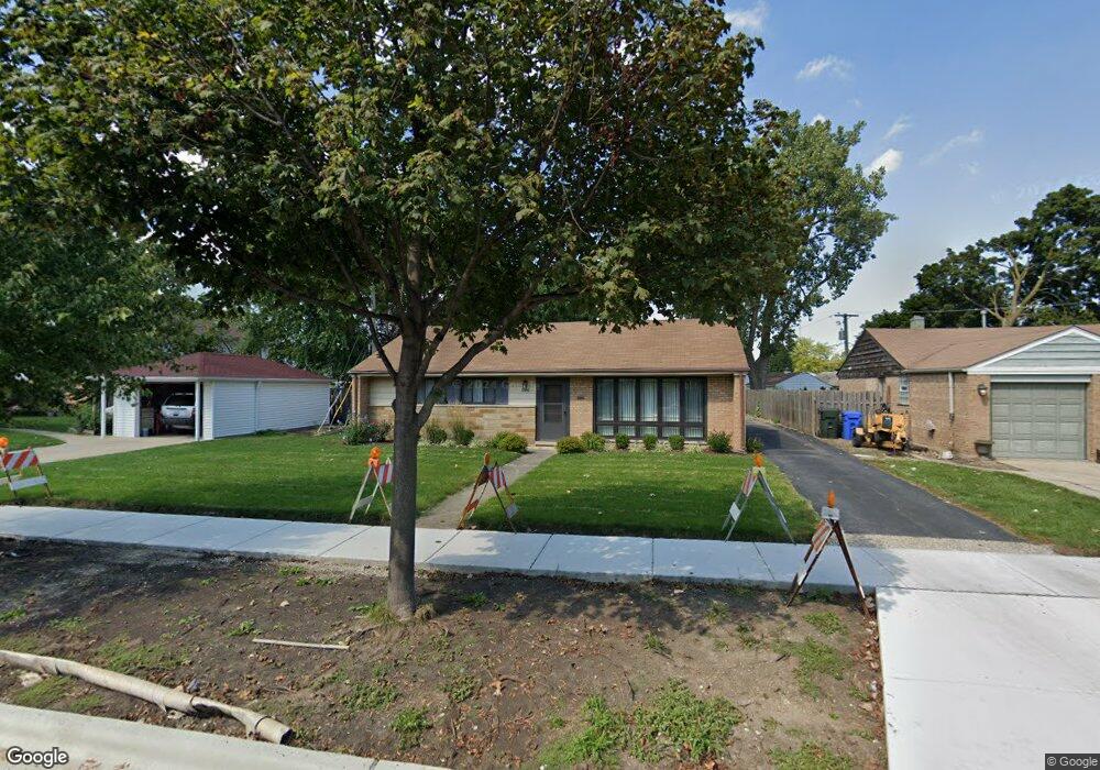
684 Walnut Ct Des Plaines, IL 60016
Estimated Value: $394,000 - $459,520
4
Beds
3
Baths
1,750
Sq Ft
$241/Sq Ft
Est. Value
About This Home
This home is located at 684 Walnut Ct, Des Plaines, IL 60016 and is currently estimated at $422,130, approximately $241 per square foot. 684 Walnut Ct is a home located in Cook County with nearby schools including Forest Elementary School, Algonquin Middle School, and Maine West High School.
Ownership History
Date
Name
Owned For
Owner Type
Purchase Details
Closed on
May 1, 2024
Sold by
Reisner Michael G and Reisner Nancy L
Bought by
Nancy L Reisner Declaration Of Trust and Michael G Reisner Declaration Of Trust
Current Estimated Value
Create a Home Valuation Report for This Property
The Home Valuation Report is an in-depth analysis detailing your home's value as well as a comparison with similar homes in the area
Home Values in the Area
Average Home Value in this Area
Purchase History
| Date | Buyer | Sale Price | Title Company |
|---|---|---|---|
| Nancy L Reisner Declaration Of Trust | -- | None Listed On Document |
Source: Public Records
Tax History
| Year | Tax Paid | Tax Assessment Tax Assessment Total Assessment is a certain percentage of the fair market value that is determined by local assessors to be the total taxable value of land and additions on the property. | Land | Improvement |
|---|---|---|---|---|
| 2025 | $7,786 | $39,000 | $14,195 | $24,805 |
| 2024 | $7,786 | $35,500 | $11,829 | $23,671 |
| 2023 | $7,550 | $35,500 | $11,829 | $23,671 |
| 2022 | $7,550 | $35,500 | $11,829 | $23,671 |
| 2021 | $6,999 | $28,763 | $9,857 | $18,906 |
| 2020 | $7,005 | $28,763 | $9,857 | $18,906 |
| 2019 | $7,036 | $32,319 | $9,857 | $22,462 |
| 2018 | $6,382 | $27,522 | $8,674 | $18,848 |
| 2017 | $6,301 | $27,522 | $8,674 | $18,848 |
| 2016 | $6,458 | $27,522 | $8,674 | $18,848 |
| 2015 | $6,090 | $24,641 | $7,491 | $17,150 |
| 2014 | $5,989 | $24,641 | $7,491 | $17,150 |
| 2013 | $6,352 | $24,641 | $7,491 | $17,150 |
Source: Public Records
Map
Nearby Homes
- 674 E Algonquin Rd
- 1162 W Grant Dr
- 1205 S Wolf Rd
- 1122 Alfini Dr
- 980 W Grant Dr
- 1394 Carol Ln
- 505 Forest Ave
- 886 E Thacker St
- 664 E Oakton St
- 652 E Prairie Ave
- 815 E Oakton St Unit 311
- 1596 Oxford Rd
- 508 Crestwood Dr
- 1080 Bogart St
- 584 S 4th Ave
- 556 Orchard Ct
- 1107 E Prairie Ave
- 887 Ingram Place
- 1005 Woodlawn Ave
- 681 S Mount Prospect Rd
- 692 Walnut Ct
- 1137 S 6th Ave
- 1145 S 6th Ave
- 1129 S 6th Ave
- 1124 W Grant Dr
- 1121 S 6th Ave
- 1130 W Grant Dr
- 1116 W Grant Dr
- 685 Walnut Ct
- 679 Walnut Ct
- 693 Walnut Ct
- 1113 S 6th Ave
- 1106 W Grant Dr
- 671 Walnut Ct
- 661 Walnut Ct
- 1105 S 6th Ave
- 1142 W Grant Dr
- 1100 W Grant Dr
- 1159 Southwest Place
- 651 Walnut Ct
Your Personal Tour Guide
Ask me questions while you tour the home.