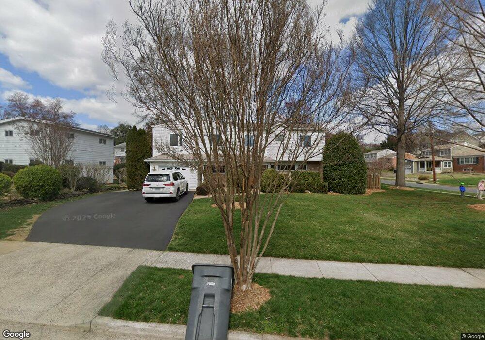
6840 Strata St McLean, VA 22101
Estimated Value: $1,313,629 - $1,465,000
5
Beds
4
Baths
2,422
Sq Ft
$569/Sq Ft
Est. Value
About This Home
This home is located at 6840 Strata St, McLean, VA 22101 and is currently estimated at $1,379,157, approximately $569 per square foot. 6840 Strata St is a home located in Fairfax County with nearby schools including Kent Gardens Elementary School, Longfellow Middle School, and McLean High School.
Ownership History
Date
Name
Owned For
Owner Type
Purchase Details
Closed on
Jun 24, 2008
Sold by
Kress James E
Bought by
Danchak R Michael
Current Estimated Value
Home Financials for this Owner
Home Financials are based on the most recent Mortgage that was taken out on this home.
Original Mortgage
$414,000
Outstanding Balance
$265,934
Interest Rate
6.07%
Mortgage Type
New Conventional
Estimated Equity
$1,113,223
Create a Home Valuation Report for This Property
The Home Valuation Report is an in-depth analysis detailing your home's value as well as a comparison with similar homes in the area
Home Values in the Area
Average Home Value in this Area
Purchase History
| Date | Buyer | Sale Price | Title Company |
|---|---|---|---|
| Danchak R Michael | $764,000 | -- |
Source: Public Records
Mortgage History
| Date | Status | Borrower | Loan Amount |
|---|---|---|---|
| Open | Danchak R Michael | $414,000 |
Source: Public Records
Tax History
| Year | Tax Paid | Tax Assessment Tax Assessment Total Assessment is a certain percentage of the fair market value that is determined by local assessors to be the total taxable value of land and additions on the property. | Land | Improvement |
|---|---|---|---|---|
| 2025 | $12,565 | $1,168,120 | $546,000 | $622,120 |
| 2024 | $12,565 | $1,063,450 | $496,000 | $567,450 |
| 2023 | $11,219 | $974,320 | $496,000 | $478,320 |
| 2022 | $10,594 | $908,220 | $441,000 | $467,220 |
| 2021 | $9,812 | $820,060 | $417,000 | $403,060 |
| 2020 | $9,806 | $812,780 | $417,000 | $395,780 |
| 2019 | $9,463 | $784,370 | $417,000 | $367,370 |
| 2018 | $8,974 | $780,370 | $413,000 | $367,370 |
| 2017 | $9,186 | $775,870 | $409,000 | $366,870 |
| 2016 | $8,993 | $761,180 | $405,000 | $356,180 |
| 2015 | $8,423 | $739,480 | $397,000 | $342,480 |
| 2014 | $7,820 | $688,110 | $371,000 | $317,110 |
Source: Public Records
Map
Nearby Homes
- 1935 Foxhall Rd
- 6816 Dean Dr
- 6935 Southridge Dr
- 1715 Maxwell Ct
- 1713 Rupert St
- 7000 Tyndale St
- 6975 Idylwood Rd
- 7107 Penguin Place
- 1707 Westmoreland St
- 2008 Friendship Ln
- 1955 Kirby Rd
- 6620 Rosecroft Place
- 1904 Lamson Place
- 6739 Darrells Grant Place
- 6616 Kirby Ct
- 1726 Baldwin Dr
- 6539 Fairlawn Dr
- 6817 Stockwell Manor Dr
- 1712 Dalewood Place
- 2107 Greenwich St
- 6842 Strata St
- 1828 Rupert St
- 1831 Rupert St
- 6841 Strata St
- 6844 Strata St
- 1833 Rupert St
- 6843 Blue Star Dr
- 1829 Rupert St
- 6843 Strata St
- 1835 Rupert St
- 6845 Strata St
- 1827 Rupert St
- 6845 Blue Star Dr
- 6846 Strata St
- 6847 Strata St
- 1825 Rupert St
- 1830 Opalocka Dr
- 6820 Lemon Rd
- 1828 Opalocka Dr
- 1822 Rupert St
Your Personal Tour Guide
Ask me questions while you tour the home.