68439 Amboy Rd Twentynine Palms, CA 92277
Estimated Value: $169,000 - $278,000
1
Bed
1
Bath
684
Sq Ft
$298/Sq Ft
Est. Value
About This Home
This home is located at 68439 Amboy Rd, Twentynine Palms, CA 92277 and is currently estimated at $203,971, approximately $298 per square foot. 68439 Amboy Rd is a home located in San Bernardino County with nearby schools including Oasis Elementary School, Twentynine Palms Junior High School, and Twentynine Palms High School.
Ownership History
Date
Name
Owned For
Owner Type
Purchase Details
Closed on
Feb 12, 2014
Sold by
Brittos Rita Gale
Bought by
Britos Lawrence and Britos Lawrence
Current Estimated Value
Purchase Details
Closed on
Jul 7, 2010
Sold by
Britos Lawrence and Brittos Lawrence
Bought by
Brittos Rita Gale
Purchase Details
Closed on
Jan 6, 2010
Sold by
Brittos Rita Gale and Brittos Rita Gayle
Bought by
Britos Lawrence
Purchase Details
Closed on
Aug 28, 2000
Sold by
Brittos Lawrence
Bought by
Brittos Rita Gayle
Create a Home Valuation Report for This Property
The Home Valuation Report is an in-depth analysis detailing your home's value as well as a comparison with similar homes in the area
Home Values in the Area
Average Home Value in this Area
Purchase History
| Date | Buyer | Sale Price | Title Company |
|---|---|---|---|
| Britos Lawrence | -- | None Available | |
| Brittos Rita Gale | -- | None Available | |
| Britos Lawrence | -- | None Available | |
| Brittos Rita Gayle | -- | -- |
Source: Public Records
Tax History Compared to Growth
Tax History
| Year | Tax Paid | Tax Assessment Tax Assessment Total Assessment is a certain percentage of the fair market value that is determined by local assessors to be the total taxable value of land and additions on the property. | Land | Improvement |
|---|---|---|---|---|
| 2025 | $683 | $52,099 | $12,259 | $39,840 |
| 2024 | $683 | $51,078 | $12,019 | $39,059 |
| 2023 | $667 | $50,076 | $11,783 | $38,293 |
| 2022 | $651 | $49,094 | $11,552 | $37,542 |
| 2021 | $641 | $48,131 | $11,325 | $36,806 |
| 2020 | $632 | $47,638 | $11,209 | $36,429 |
| 2019 | $624 | $46,704 | $10,989 | $35,715 |
| 2018 | $612 | $45,789 | $10,774 | $35,015 |
| 2017 | $602 | $44,891 | $10,563 | $34,328 |
| 2016 | $589 | $44,011 | $10,356 | $33,655 |
| 2015 | $528 | $42,640 | $5,330 | $37,310 |
| 2014 | $574 | $41,805 | $5,226 | $36,579 |
Source: Public Records
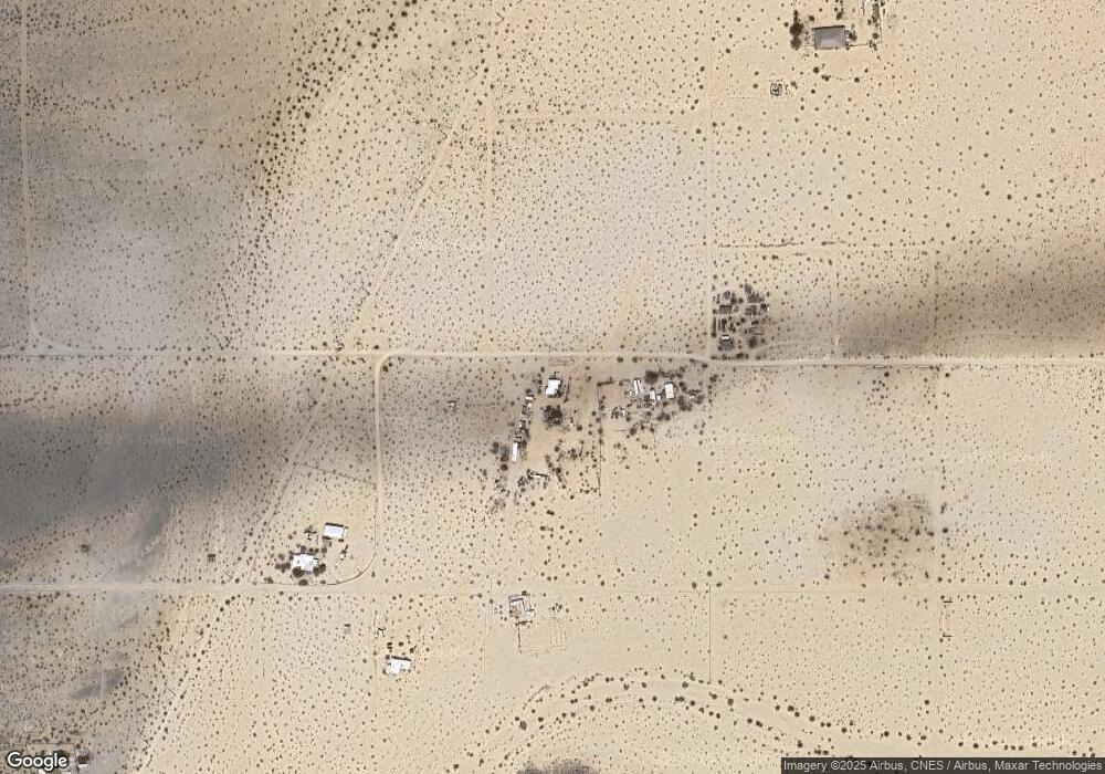
Map
Nearby Homes
- 6192012200 Amboy Rd
- 78751 Amboy Rd
- 5228 Pine Springs Ave
- 68451 Bellerue Rd
- 5125 Lear Ave
- 69450 Amboy Rd
- 2 Pearl Springs Ave
- 11 Indian Cove Rd
- 12 Indian Cove Rd
- 0 Mantonya Rd Unit WS25144506
- 68825 Michael Way
- 0 Lear Ave Unit OC23040601
- 0 Lear Ave Unit SR25166133
- 0 Michael Way
- 4.81 Acres On Lear Near Indian Trail
- 0 Indian Trail Unit EV24154806
- 0 Indian Trail Unit JT25266833
- 0 Indian Trail Unit SR25097581
- 0 Indian Trail Unit 25603319
- 5055 Shoshone Valley Rd
- 1 Amboy Rd
- 68483 Amboy Rd
- 68716 Amboy Rd
- 4968 Pine Springs Ave
- 0 Pine Springs Ave Unit DC21128869
- 0 Pine Springs Ave Unit DC12051588
- 0 Pine Spring Ave
- 0 Pine Springs Ave Unit DC21133322
- 0 Pine Springs Ave Unit 16-179144PS
- 0 Pine Springs Ave Unit 219103437DA
- 0 Pine Springs Ave Unit JT22196680
- 0 Pine Springs Ave Unit 16179144DA
- 0 Pine Springs Ave Unit 190039379
- 0 Morrissey Mountain Top Unit 41393709DA
- 69050 Emerald St
- 4747 Los Olivos Ave
- 68733 Morrissey Ln
- 5070 Indian Cove
- 0 Morrissey Ln
- 68620 Morrissey Ln