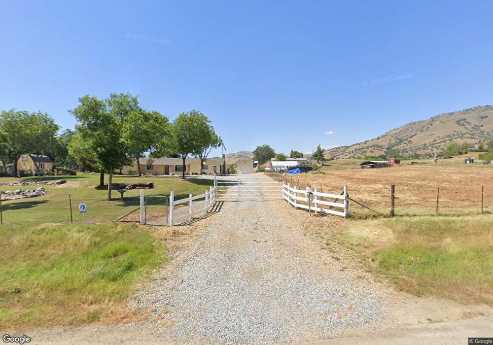
6844 Ciancetti Dr Sanger, CA 93657
Estimated Value: $469,000 - $550,000
3
Beds
3
Baths
2,205
Sq Ft
$227/Sq Ft
Est. Value
About This Home
This home is located at 6844 Ciancetti Dr, Sanger, CA 93657 and is currently estimated at $499,810, approximately $226 per square foot. 6844 Ciancetti Dr is a home located in Fresno County with nearby schools including Dunlap Elementary School and Reedley High School.
Ownership History
Date
Name
Owned For
Owner Type
Purchase Details
Closed on
Mar 5, 1996
Sold by
Crow Leon C and Crow Addie
Bought by
Phillips Roger and Mcguirt Phillips Rhonda
Current Estimated Value
Home Financials for this Owner
Home Financials are based on the most recent Mortgage that was taken out on this home.
Original Mortgage
$12,800
Outstanding Balance
$500
Interest Rate
6.98%
Mortgage Type
Seller Take Back
Estimated Equity
$499,310
Create a Home Valuation Report for This Property
The Home Valuation Report is an in-depth analysis detailing your home's value as well as a comparison with similar homes in the area
Purchase History
| Date | Buyer | Sale Price | Title Company |
|---|---|---|---|
| Phillips Roger | $16,000 | Chicago Title Co |
Source: Public Records
Mortgage History
| Date | Status | Borrower | Loan Amount |
|---|---|---|---|
| Open | Phillips Roger | $12,800 |
Source: Public Records
Tax History
| Year | Tax Paid | Tax Assessment Tax Assessment Total Assessment is a certain percentage of the fair market value that is determined by local assessors to be the total taxable value of land and additions on the property. | Land | Improvement |
|---|---|---|---|---|
| 2025 | $2,483 | $220,153 | $26,560 | $193,593 |
| 2023 | $2,414 | $211,607 | $25,530 | $186,077 |
| 2022 | $2,398 | $207,459 | $25,030 | $182,429 |
| 2021 | $2,348 | $203,392 | $24,540 | $178,852 |
| 2020 | $2,352 | $201,308 | $24,289 | $177,019 |
| 2019 | $2,298 | $197,362 | $23,813 | $173,549 |
| 2018 | $2,257 | $193,494 | $23,347 | $170,147 |
| 2017 | $2,205 | $189,701 | $22,890 | $166,811 |
| 2016 | $2,153 | $185,983 | $22,442 | $163,541 |
| 2015 | $2,129 | $183,190 | $22,105 | $161,085 |
| 2014 | $2,106 | $179,602 | $21,672 | $157,930 |
Source: Public Records
Map
Nearby Homes
- 1 Ciancetti Dr
- 6698 Gaston Dr
- 0 Hilltop Dr
- 123 Big Oak Rd
- 0
- 173 Rodeo Dr
- 0 Fiesta Dr
- 0 Bellows Dr
- 0 NE Mustang Rd Unit 642535
- 6050 Dogwood Dr
- 6009 Elwood Rd
- 7079 Palomino Dr
- 6102 Elwood Rd
- 99999 Elwood Rd
- 6 N Elwood Rd
- 0 Buckhorn Dr Unit 225130981
- N Elwood Rd
- 0 Ruth Hill Rd Unit 616689
- 0 Ruth Hill Rd Unit 230744
- 0 Ruth Hill Rd Unit FR24165189
- 100 Gaston Dr Unit 21
- 0 Gaston Dr Unit 617760
- 0 Gaston Dr Unit 596376
- 0 Gaston Dr Unit 423646
- 0 Gaston Dr Unit 496684
- 0 Gaston Dr Unit 503108
- 0 Gaston Dr Unit 100 418638
- 100 Gaston Dr
- 6890 Ciancetti Dr
- 7103 Morain Dr
- 6766 Ciancetti Dr
- 0 Rodeo Dr
- 0 Rodeo Dr Unit 223693
- 0 Rodeo Dr Unit 139210
- 0 Rodeo Dr Unit 572013
- 0 Rodeo Dr Unit L-173 306702
- 0 Rodeo Dr Unit L-173 371017
- 179 Rodeo Dr
- 7141 Morain Dr
- 6624 Live Oak Dr
Your Personal Tour Guide
Ask me questions while you tour the home.