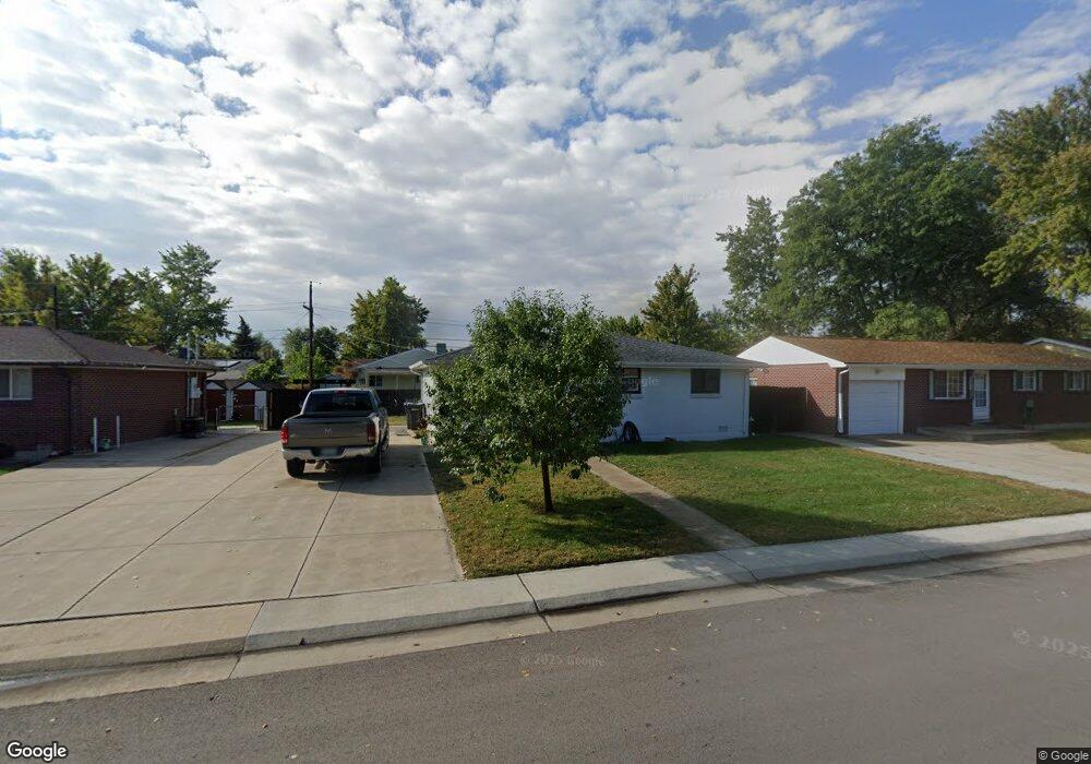
6844 W 53rd Ave Arvada, CO 80002
Estimated Value: $402,000 - $433,000
2
Beds
1
Bath
839
Sq Ft
$498/Sq Ft
Est. Value
About This Home
This home is located at 6844 W 53rd Ave, Arvada, CO 80002 and is currently estimated at $417,708, approximately $497 per square foot. 6844 W 53rd Ave is a home located in Jefferson County with nearby schools including Secrest Elementary School, North Arvada Middle School, and Arvada High School.
Ownership History
Date
Name
Owned For
Owner Type
Purchase Details
Closed on
Aug 11, 2016
Sold by
The Louisa M Monahan Trust
Bought by
Meyer Marie
Current Estimated Value
Home Financials for this Owner
Home Financials are based on the most recent Mortgage that was taken out on this home.
Original Mortgage
$213,750
Outstanding Balance
$170,548
Interest Rate
3.48%
Mortgage Type
New Conventional
Estimated Equity
$247,160
Create a Home Valuation Report for This Property
The Home Valuation Report is an in-depth analysis detailing your home's value as well as a comparison with similar homes in the area
Purchase History
| Date | Buyer | Sale Price | Title Company |
|---|---|---|---|
| Meyer Marie | $225,000 | Ht |
Source: Public Records
Mortgage History
| Date | Status | Borrower | Loan Amount |
|---|---|---|---|
| Open | Meyer Marie | $213,750 |
Source: Public Records
Tax History
| Year | Tax Paid | Tax Assessment Tax Assessment Total Assessment is a certain percentage of the fair market value that is determined by local assessors to be the total taxable value of land and additions on the property. | Land | Improvement |
|---|---|---|---|---|
| 2024 | $2,646 | $26,556 | $13,312 | $13,244 |
| 2023 | $2,646 | $26,556 | $13,312 | $13,244 |
| 2022 | $2,305 | $22,993 | $9,911 | $13,082 |
| 2021 | $2,340 | $23,655 | $10,196 | $13,459 |
| 2020 | $2,064 | $20,892 | $8,445 | $12,447 |
| 2019 | $2,037 | $20,892 | $8,445 | $12,447 |
| 2018 | $1,732 | $17,263 | $6,012 | $11,251 |
| 2017 | $1,587 | $17,263 | $6,012 | $11,251 |
| 2016 | $1,301 | $13,308 | $5,276 | $8,032 |
| 2015 | $659 | $13,308 | $5,276 | $8,032 |
| 2014 | $1,083 | $10,412 | $4,872 | $5,540 |
Source: Public Records
Map
Nearby Homes
- 6801 W 52nd Ave
- 6950 W 54th Ave
- 5423 Saulsbury Ct
- 5465 Reed Ct
- 6940 W 55th Place
- 5215 Ingalls St
- 7221 W 48th Ave
- 5320 Allison St Unit 106
- 6427 Grandview Ave Unit A & B
- 6920 W 48th Ave Unit 6920
- 6500 Ralston Rd Unit A
- 6105 W 49th Place
- 4786 Teller St
- 5409 Zephyr Ct Unit 5409
- 7931 W 55th Ave Unit 112
- 4730 Pierce St
- 8028 W 52nd Ln Unit B
- 5460 Allison St Unit 102
- 5223 Allison Way Unit D
- 5223 Allison Way Unit C
- 6854 W 53rd Ave
- 6834 W 53rd Ave
- 6863 W 52nd Place
- 6903 W 52nd Place
- 6864 W 53rd Ave
- 6853 W 52nd Place
- 6824 W 53rd Ave
- 6849 W 53rd Ave
- 6859 W 53rd Ave
- 6923 W 52nd Place
- 6839 W 53rd Ave
- 6874 W 53rd Ave
- 6869 W 53rd Ave
- 6814 W 53rd Ave
- 6843 W 52nd Place
- 6829 W 53rd Ave
- 6879 W 53rd Ave
- 5230 Quay St
- 6819 W 53rd Ave
- 6852 W 53rd Place