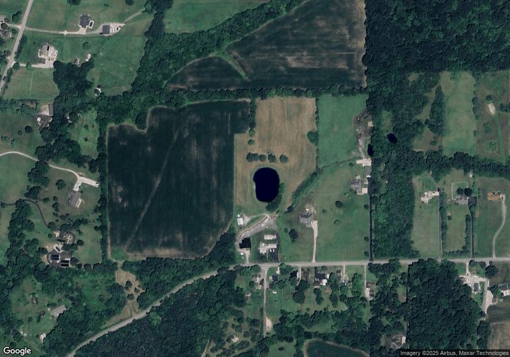
6846 Michael Rd Middletown, OH 45042
Estimated Value: $264,000 - $394,130
3
Beds
1
Bath
1,613
Sq Ft
$197/Sq Ft
Est. Value
About This Home
This home is located at 6846 Michael Rd, Middletown, OH 45042 and is currently estimated at $318,533, approximately $197 per square foot. 6846 Michael Rd is a home located in Butler County with nearby schools including Madison High School.
Ownership History
Date
Name
Owned For
Owner Type
Purchase Details
Closed on
Apr 29, 2021
Sold by
Blashock Timothy J and Blushock Tim
Bought by
Blashock Timothy J and Blashock Linda D
Current Estimated Value
Purchase Details
Closed on
Mar 12, 1998
Sold by
Blashock Timothy J
Bought by
Blashock Timothy J
Purchase Details
Closed on
Sep 6, 1997
Sold by
Fitzwater John H and Fitzwater Joyce E
Bought by
Blashock Timothy and Blashock Timothy J
Create a Home Valuation Report for This Property
The Home Valuation Report is an in-depth analysis detailing your home's value as well as a comparison with similar homes in the area
Home Values in the Area
Average Home Value in this Area
Purchase History
| Date | Buyer | Sale Price | Title Company |
|---|---|---|---|
| Blashock Timothy J | -- | None Available | |
| Blashock Timothy J | -- | -- | |
| Blashock Timothy | -- | -- |
Source: Public Records
Tax History
| Year | Tax Paid | Tax Assessment Tax Assessment Total Assessment is a certain percentage of the fair market value that is determined by local assessors to be the total taxable value of land and additions on the property. | Land | Improvement |
|---|---|---|---|---|
| 2025 | $3,938 | $95,530 | $30,290 | $65,240 |
| 2024 | $3,938 | $95,530 | $30,290 | $65,240 |
| 2023 | $3,909 | $95,530 | $30,290 | $65,240 |
| 2022 | $3,438 | $72,620 | $30,290 | $42,330 |
| 2021 | $3,083 | $72,620 | $30,290 | $42,330 |
| 2020 | $3,206 | $72,620 | $30,290 | $42,330 |
| 2019 | $3,658 | $63,170 | $30,290 | $32,880 |
| 2018 | $3,015 | $63,170 | $30,290 | $32,880 |
| 2017 | $3,001 | $63,170 | $30,290 | $32,880 |
| 2016 | $2,940 | $59,670 | $30,290 | $29,380 |
| 2015 | $2,967 | $59,670 | $30,290 | $29,380 |
| 2014 | $3,031 | $59,670 | $30,290 | $29,380 |
| 2013 | $3,031 | $61,560 | $30,290 | $31,270 |
Source: Public Records
Map
Nearby Homes
- 6526 Diver Ln
- 1020 Middletown Eaton Rd
- 5800 Trenton Franklin Rd
- 881 Middletown Eaton Rd
- 489 Emerson Rd
- 640 Hill St
- 6503 Niderdale Way
- 6308 Elk Creek Rd
- 2136 Renee Dr
- 6190 Joann Ln
- 0 Elk Creek Rd Unit 951510
- 0 Elk Creek Rd Unit 1862657
- 5251 Trenton Franklin Rd
- 429 Leichty Ave
- 433 Leichty Ave
- 2307 Middletown Eaton Rd
- 7112 Middlemoor Ln
- 7152 Middlemoor Ln
- 4861 Trenton Franklin Rd
- 4849 Trenton Franklin Rd
- 6817 Michael Rd
- 6823 Michael Rd
- 6835 Michael Rd
- 429 Michael Rd
- 6858 Michael Rd
- 6861 Michael Rd
- 6881 Michael Rd
- 6892 Michael Rd
- 6895 Michael Rd
- 6829 Michael Rd
- 6919 Michael Rd
- 6374 Hetzler Rd
- 6364 Hetzler Rd
- 6952 Michael Rd
- 6827 Michael Rd
- 6960 Michael Rd
- 6939 Michael Rd
- 6396 Hetzler Rd
- 6945 Michael Rd
- 6984 Michael Rd
