6849 S Whiskey Hill Rd Hubbard, OR 97032
Estimated Value: $681,057 - $916,000
4
Beds
2
Baths
1,912
Sq Ft
$421/Sq Ft
Est. Value
About This Home
This home is located at 6849 S Whiskey Hill Rd, Hubbard, OR 97032 and is currently estimated at $804,014, approximately $420 per square foot. 6849 S Whiskey Hill Rd is a home located in Clackamas County with nearby schools including Josefa L. Sambrano Elementary School, Philander Lee Elementary School, and Baker Prairie Middle School.
Ownership History
Date
Name
Owned For
Owner Type
Purchase Details
Closed on
Apr 18, 1996
Sold by
Watson Bruce R and Watson Beatrice
Bought by
Serrano Rogelio and Serrano Margarita
Current Estimated Value
Home Financials for this Owner
Home Financials are based on the most recent Mortgage that was taken out on this home.
Original Mortgage
$153,450
Outstanding Balance
$6,504
Interest Rate
7.84%
Estimated Equity
$797,510
Create a Home Valuation Report for This Property
The Home Valuation Report is an in-depth analysis detailing your home's value as well as a comparison with similar homes in the area
Home Values in the Area
Average Home Value in this Area
Purchase History
| Date | Buyer | Sale Price | Title Company |
|---|---|---|---|
| Serrano Rogelio | $158,000 | Stewart Title |
Source: Public Records
Mortgage History
| Date | Status | Borrower | Loan Amount |
|---|---|---|---|
| Open | Serrano Rogelio | $153,450 |
Source: Public Records
Tax History Compared to Growth
Tax History
| Year | Tax Paid | Tax Assessment Tax Assessment Total Assessment is a certain percentage of the fair market value that is determined by local assessors to be the total taxable value of land and additions on the property. | Land | Improvement |
|---|---|---|---|---|
| 2025 | $4,846 | $338,656 | -- | -- |
| 2024 | $4,712 | $328,793 | -- | -- |
| 2023 | $4,712 | $319,217 | $0 | $0 |
| 2022 | $4,308 | $309,920 | $0 | $0 |
| 2021 | $4,140 | $300,894 | $0 | $0 |
| 2020 | $4,078 | $292,131 | $0 | $0 |
| 2019 | $3,865 | $283,623 | $0 | $0 |
| 2018 | $3,785 | $275,362 | $0 | $0 |
| 2017 | $3,693 | $267,342 | $0 | $0 |
| 2016 | $3,566 | $259,555 | $0 | $0 |
| 2015 | $3,439 | $251,995 | $0 | $0 |
| 2014 | $3,340 | $244,655 | $0 | $0 |
Source: Public Records
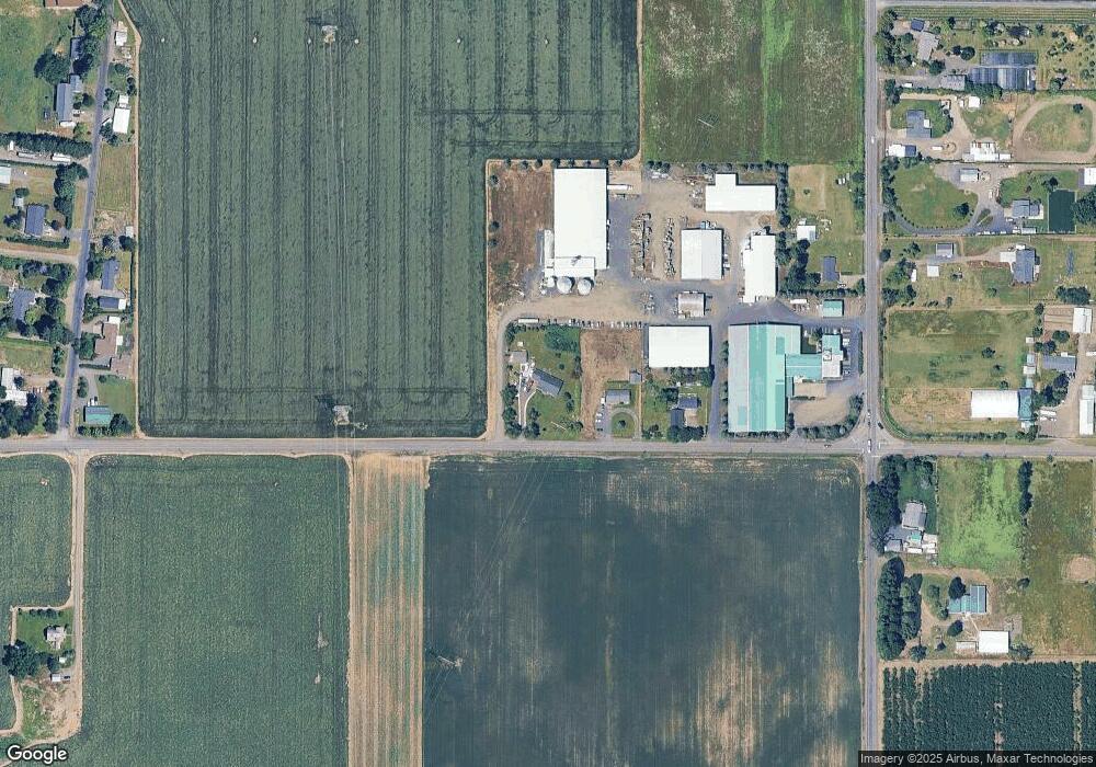
Map
Nearby Homes
- 30413 S Stuwe Rd
- 6150 S Miller Rd
- 29497 S Meridian Rd
- 6939 S Zimmerman Rd
- 30700 S Highway 170
- 29474 S Highway 170
- 17765 Monnier Rd NE
- 27200 S Barlow Rd
- 8949 S Gribble Rd
- 20800 Yosemite St NE
- 14750 Orchard St NE
- 18767 Highway 99e
- 3370 Maple St
- 3370 Maple St Unit 44
- 20870 Yosemite St NE
- 3197 Rainbow Loop Unit 10
- 21022 Jennymarie Ln NE
- 14665 Orchard Ave NE
- 14713 Ottaway Rd NE
- 9750 S Gribble Rd
- 6875 S Whiskey Hill Rd
- 6923 S Whiskey Hill Rd
- 29913 S Barlow Rd
- 7034 S Barnards Rd
- 29928 Kenagy Rd
- 29830 S Barlow Rd
- 29922 Kenagy Rd
- 30050 S Barlow Rd
- 29990 S Barlow Rd
- 29910 S Barlow Rd
- 29800 S Barlow Rd
- 7051 S Barnards Rd
- 29961 Kenagy Rd
- 29943 Kenagy Rd
- 29891 Kenagy Rd
- 6650 S Whiskey Hill Rd
- 29770 S Barlow Rd
- 6565 S Whiskey Hill Rd
- 29651 S Barlow Rd
- 7171 S Barnards Rd