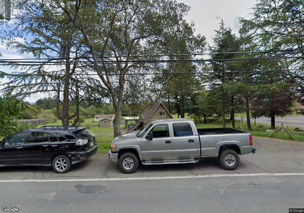
685 Bloomfield Rd Sebastopol, CA 95472
Estimated Value: $590,000 - $1,943,000
2
Beds
1
Bath
940
Sq Ft
$1,104/Sq Ft
Est. Value
About This Home
This home is located at 685 Bloomfield Rd, Sebastopol, CA 95472 and is currently estimated at $1,038,141, approximately $1,104 per square foot. 685 Bloomfield Rd is a home located in Sonoma County with nearby schools including Analy High School, Gravenstein Elementary School, and Sunridge Charter School.
Ownership History
Date
Name
Owned For
Owner Type
Purchase Details
Closed on
May 29, 2000
Sold by
Larro Michael D and Larro Louise
Bought by
Larro Michael D and Larro Louise A
Current Estimated Value
Purchase Details
Closed on
Apr 16, 2000
Sold by
Camozzi Angelo and Camozzi Family Revocable Trust
Bought by
Larro Michael D and Larro Louise A
Purchase Details
Closed on
Jun 20, 1998
Sold by
Larro Michael D and Larro Louise A
Bought by
Larro Michael D and Larro Louise A
Create a Home Valuation Report for This Property
The Home Valuation Report is an in-depth analysis detailing your home's value as well as a comparison with similar homes in the area
Purchase History
| Date | Buyer | Sale Price | Title Company |
|---|---|---|---|
| Larro Michael D | -- | -- | |
| Larro Michael D | $113,000 | -- | |
| Larro Michael D | -- | -- |
Source: Public Records
Tax History Compared to Growth
Tax History
| Year | Tax Paid | Tax Assessment Tax Assessment Total Assessment is a certain percentage of the fair market value that is determined by local assessors to be the total taxable value of land and additions on the property. | Land | Improvement |
|---|---|---|---|---|
| 2025 | $2,103 | $152,087 | $76,150 | $75,937 |
| 2024 | $2,103 | $149,106 | $74,657 | $74,449 |
| 2023 | $2,103 | $146,184 | $73,194 | $72,990 |
| 2022 | $2,050 | $143,318 | $71,759 | $71,559 |
| 2021 | $2,049 | $140,508 | $70,352 | $70,156 |
| 2020 | $2,096 | $139,068 | $69,631 | $69,437 |
| 2019 | $1,831 | $136,342 | $68,266 | $68,076 |
| 2018 | $1,807 | $133,670 | $66,928 | $66,742 |
| 2017 | $0 | $131,050 | $65,616 | $65,434 |
| 2016 | $1,706 | $128,481 | $64,330 | $64,151 |
| 2015 | -- | $126,552 | $63,364 | $63,188 |
| 2014 | -- | $124,074 | $62,123 | $61,951 |
Source: Public Records
Map
Nearby Homes
- 2550 Hwy 116 S
- 8061 Elphick Rd
- 1171 Gravenstein Hwy S
- 5111 Todd Rd
- 6781 Evergreen Ave
- 6720 Evergreen Ave
- 7251 Fircrest Ave
- 3790 Gravenstein Hwy S
- 3920 Gravenstein Hwy S
- 5301 Gravenstein Hwy S
- 3336 Bloomfield Rd
- 3960 Llano Rd
- 789 Pleasant Hill Rd
- 4001 Walker Ave
- 7225 Bodega Ave
- 5200 California 116
- 7720 Bodega Ave Unit 3
- 3545 Bloomfield Rd
- 1979 Ludwig Ave
- 5227 Wendell Ln
- 655 Bloomfield Rd
- 704 Bloomfield Rd
- 6543 Peacock Way
- 650 Bloomfield Rd
- 750 Bloomfield Rd
- 590 Bloomfield Rd
- 6699 Baker Ln
- 708 Bloomfield Rd
- 545 Bloomfield Rd
- 6710 Nicole Ct
- 6562 Williams Place
- 540 Bloomfield Rd
- 6568 Williams Place
- 6705 Baker Ln
- 6680 Baker Ln
- 6710 Baker Ln
- 601 Bloomfield Rd
- 810 Bloomfield Rd
- 453 Bloomfield Rd
- 6476 Lone Pine Rd
