685 Currahee Point Unit 33 SECTION 2 Toccoa, GA 30577
Estimated Value: $426,575 - $898,000
3
Beds
2
Baths
1,877
Sq Ft
$327/Sq Ft
Est. Value
About This Home
This home is located at 685 Currahee Point Unit 33 SECTION 2, Toccoa, GA 30577 and is currently estimated at $612,894, approximately $326 per square foot. 685 Currahee Point Unit 33 SECTION 2 is a home located in Stephens County with nearby schools including Stephens County High School.
Ownership History
Date
Name
Owned For
Owner Type
Purchase Details
Closed on
Dec 22, 2020
Sold by
Bunda Richard L
Bought by
Harper Reginald and Harper Jody M
Current Estimated Value
Purchase Details
Closed on
May 12, 2006
Sold by
Lewis Heidi
Bought by
Bunda Richard L and Bunda Betty A
Purchase Details
Closed on
Feb 2, 2006
Sold by
Circle East
Bought by
Lewis Heidi
Purchase Details
Closed on
Jul 1, 1995
Bought by
<Buyer Info Not Present>
Purchase Details
Closed on
Dec 1, 1986
Bought by
<Buyer Info Not Present>
Create a Home Valuation Report for This Property
The Home Valuation Report is an in-depth analysis detailing your home's value as well as a comparison with similar homes in the area
Purchase History
| Date | Buyer | Sale Price | Title Company |
|---|---|---|---|
| Harper Reginald | $20,000 | -- | |
| Bunda Richard L | $49,900 | -- | |
| Lewis Heidi | $16,000 | -- | |
| <Buyer Info Not Present> | $8,500 | -- | |
| <Buyer Info Not Present> | $9,000 | -- |
Source: Public Records
Tax History
| Year | Tax Paid | Tax Assessment Tax Assessment Total Assessment is a certain percentage of the fair market value that is determined by local assessors to be the total taxable value of land and additions on the property. | Land | Improvement |
|---|---|---|---|---|
| 2025 | $2,447 | $150,491 | $7,895 | $142,596 |
| 2024 | $1,939 | $98,739 | $7,895 | $90,844 |
| 2023 | $2,682 | $92,081 | $7,895 | $84,186 |
| 2022 | $1,830 | $61,477 | $7,895 | $53,582 |
| 2021 | $247 | $7,895 | $7,895 | $0 |
| 2020 | $249 | $7,895 | $7,895 | $0 |
| 2019 | $560 | $17,660 | $17,660 | $0 |
| 2018 | $560 | $17,660 | $17,660 | $0 |
| 2017 | $569 | $17,660 | $17,660 | $0 |
| 2016 | $560 | $17,660 | $17,660 | $0 |
| 2015 | $586 | $17,660 | $17,660 | $0 |
| 2014 | $596 | $17,660 | $17,660 | $0 |
| 2013 | -- | $17,660 | $17,660 | $0 |
Source: Public Records
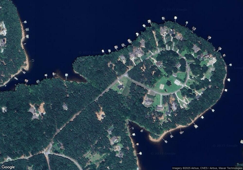
Map
Nearby Homes
- 49 Currahee Point
- 287 Spring Branch Cir
- 604 Mckinney Way
- 455 Chase Landing Rd
- Lot 34 Stillwater Place
- 112 Laura Dr
- 88 Currahee Place
- 9B Lost Forest Dr
- 0 Lost Forest Dr
- 223 Brookside Dr
- Lot 9 Block A Brookside Dr
- 1 Brookside Dr
- 333 Oliver Rd
- 1687 Jenkins Ferry Rd
- LOT 7 Springview Dr
- 0 Springview Dr Unit 21515079
- 0 Springview Dr Unit 18549576
- 104 Overlook Dr
- 347 River Trail
- 120 Ridgemore Cir
- 685 Currahee Point
- 685 Currahee Point Unit LOT 33
- 0 Currahee Point Unit LOT 9 2841734
- 0 Currahee Point Unit LT 33 3232723
- 0 Currahee Point Unit 27A 3284002
- 0 Currahee Point Unit 33 7002845
- 0 Currahee Point Unit 7087012
- 687 Currahee Point
- 18B Circle E
- 18A Currahee Point Unit Circle East
- 172 Currahee Point
- 651 Currahee Point
- 269 Currahee Point
- 299 Currahee Point
- 621 Currahee Point
- 317 Currahee Point
- 337 Currahee Point
- 604 Currahee Point
- 154 Currahee Point
- 364 Currahee Point
Your Personal Tour Guide
Ask me questions while you tour the home.