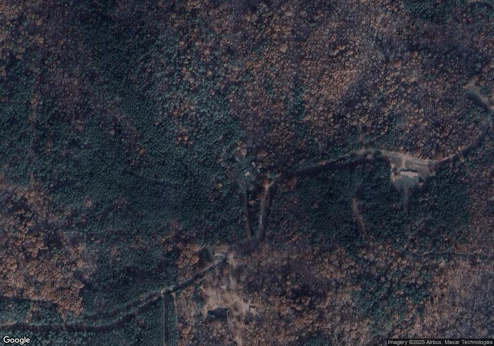
685 George West Rd Middleton, TN 38052
Estimated Value: $71,000 - $106,000
--
Bed
1
Bath
896
Sq Ft
$100/Sq Ft
Est. Value
About This Home
This home is located at 685 George West Rd, Middleton, TN 38052 and is currently estimated at $89,289, approximately $99 per square foot. 685 George West Rd is a home located in Hardeman County with nearby schools including Middleton Elementary School and Middleton High School.
Ownership History
Date
Name
Owned For
Owner Type
Purchase Details
Closed on
Dec 19, 2022
Sold by
Bussell Johnny Carroll
Bought by
Cray Tabitha
Current Estimated Value
Home Financials for this Owner
Home Financials are based on the most recent Mortgage that was taken out on this home.
Original Mortgage
$50,947
Interest Rate
6.61%
Mortgage Type
New Conventional
Purchase Details
Closed on
Sep 20, 1996
Bought by
Russell Sharon Kay
Create a Home Valuation Report for This Property
The Home Valuation Report is an in-depth analysis detailing your home's value as well as a comparison with similar homes in the area
Home Values in the Area
Average Home Value in this Area
Purchase History
| Date | Buyer | Sale Price | Title Company |
|---|---|---|---|
| Cray Tabitha | $50,000 | Hornsby Title | |
| Russell Sharon Kay | $3,500 | -- |
Source: Public Records
Mortgage History
| Date | Status | Borrower | Loan Amount |
|---|---|---|---|
| Previous Owner | Cray Tabitha | $50,947 |
Source: Public Records
Tax History Compared to Growth
Tax History
| Year | Tax Paid | Tax Assessment Tax Assessment Total Assessment is a certain percentage of the fair market value that is determined by local assessors to be the total taxable value of land and additions on the property. | Land | Improvement |
|---|---|---|---|---|
| 2024 | $360 | $19,900 | $6,525 | $13,375 |
| 2023 | $468 | $19,900 | $6,525 | $13,375 |
| 2022 | $484 | $14,750 | $4,875 | $9,875 |
| 2021 | $484 | $14,750 | $4,875 | $9,875 |
| 2020 | $484 | $14,750 | $4,875 | $9,875 |
| 2019 | $484 | $14,750 | $4,875 | $9,875 |
| 2018 | $484 | $14,750 | $4,875 | $9,875 |
| 2017 | $491 | $15,000 | $4,875 | $10,125 |
| 2016 | $491 | $15,000 | $4,875 | $10,125 |
| 2015 | $383 | $15,000 | $4,875 | $10,125 |
| 2014 | $383 | $15,000 | $4,875 | $10,125 |
Source: Public Records
Map
Nearby Homes
- 0 George West Rd Unit Lot 10
- 1 Ferrell Rd Unit Tract 2
- 4 Ferrell Rd
- 0 Huckleberry Dr Unit RS202 10198336
- 154 Oak Grove Rd
- 205 -207 Huckleberry Dr
- 0 Edgewater Dr Unit Lots 87 and 89
- 270 Rocky Springs Rd
- 54 Campfire Cove Unit C54
- 0 Burgess Loop
- 0 Woodrun Dr Wr C38 Dr
- 0 C Allen Ln
- 35 & 36 Old Roger Dr Unit WR35
- 111 Woodrun Cir Unit WR111
- 64 Woodrun Dr Unit WR64
- 1230 W Rd
- 0 Dogwood Dr Unit WR17
- 65 Woodrun Dr Unit WR65
- 76 Quail Dr Unit WR
- 19 Dogwood Dr Unit WR19
- 575 George West Rd
- 575 George West Rd
- 500 George West Rd
- 1085 George West Rd
- 180 George West Rd
- 13085 Sain Rd
- 13060 Sain Rd
- 0 George Rd W Unit 9930340
- 0 George Rd W Unit 11433005
- 0 George Rd W Unit 10189104
- 0 George Rd W Unit 10179901
- 0 George Rd W Unit 10149175
- 0 George Rd W Unit 10091233
- 705 Herschel Rd
- 845 Herschel Rd
- 945 Herschel Rd
