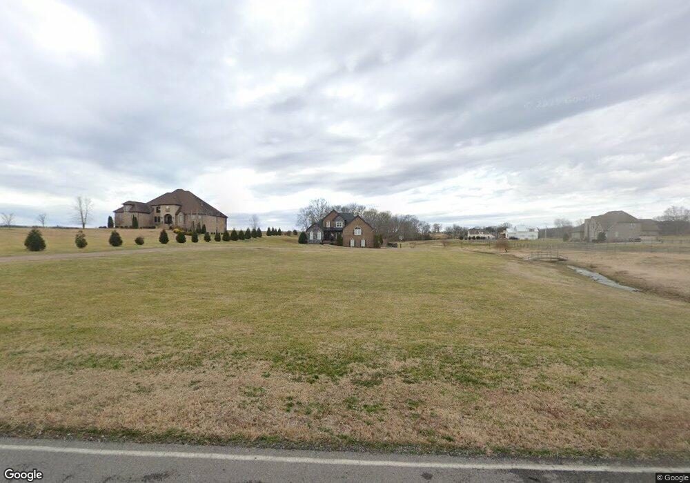
685 Neals Ln Gallatin, TN 37066
Estimated Value: $1,052,000 - $1,319,000
3
Beds
6
Baths
4,199
Sq Ft
$283/Sq Ft
Est. Value
About This Home
This home is located at 685 Neals Ln, Gallatin, TN 37066 and is currently estimated at $1,189,317, approximately $283 per square foot. 685 Neals Ln is a home with nearby schools including Station Camp High School.
Ownership History
Date
Name
Owned For
Owner Type
Purchase Details
Closed on
Apr 5, 2016
Sold by
Stockman James M and Stockman Regina L
Bought by
Geer Jason T and Geer Allison B
Current Estimated Value
Home Financials for this Owner
Home Financials are based on the most recent Mortgage that was taken out on this home.
Original Mortgage
$80,000
Interest Rate
3.68%
Mortgage Type
Commercial
Purchase Details
Closed on
Feb 26, 2016
Sold by
Dorris Patricia Janan
Bought by
Stockman James M and Stockman Regina L
Home Financials for this Owner
Home Financials are based on the most recent Mortgage that was taken out on this home.
Original Mortgage
$80,000
Interest Rate
3.68%
Mortgage Type
Commercial
Create a Home Valuation Report for This Property
The Home Valuation Report is an in-depth analysis detailing your home's value as well as a comparison with similar homes in the area
Home Values in the Area
Average Home Value in this Area
Purchase History
| Date | Buyer | Sale Price | Title Company |
|---|---|---|---|
| Geer Jason T | $100,000 | Sumner Title And Escrow Llc | |
| Stockman James M | $155,000 | Brentwood Title & Escrow Ll |
Source: Public Records
Mortgage History
| Date | Status | Borrower | Loan Amount |
|---|---|---|---|
| Closed | Geer Jason T | $80,000 |
Source: Public Records
Tax History Compared to Growth
Tax History
| Year | Tax Paid | Tax Assessment Tax Assessment Total Assessment is a certain percentage of the fair market value that is determined by local assessors to be the total taxable value of land and additions on the property. | Land | Improvement |
|---|---|---|---|---|
| 2024 | $3,414 | $240,225 | $32,925 | $207,300 |
| 2023 | $4,435 | $196,950 | $22,375 | $174,575 |
| 2022 | $4,455 | $196,950 | $22,375 | $174,575 |
| 2021 | $4,455 | $196,950 | $22,375 | $174,575 |
| 2020 | $4,455 | $196,950 | $22,375 | $174,575 |
| 2019 | $4,455 | $0 | $0 | $0 |
| 2018 | $3,525 | $0 | $0 | $0 |
| 2017 | $3,525 | $0 | $0 | $0 |
| 2016 | $290 | $0 | $0 | $0 |
| 2015 | -- | $0 | $0 | $0 |
Source: Public Records
Map
Nearby Homes
- 2045 Liberty Ln
- 650 Neals Ln
- 1176 Liberty Ln
- 315 Cummings Ln
- 1017 Wickshire Dr
- 1869 Tennessee 25
- 1328 Wentworth Dr
- 1036 Middleton Ln
- 305 Remington Ave
- 300 Remington Ave
- 172 Cavalcade Loop
- 540 Bradford Dr
- 249 Cavalcade Loop
- 1273 Wentworth Dr
- 360 Turfway Park
- The Ridgeport Plan at Carellton
- 137 Cavalcade Loop
- 1245 Amherst Ct
- 1239 Wentworth Dr
- 608 Bradford Dr