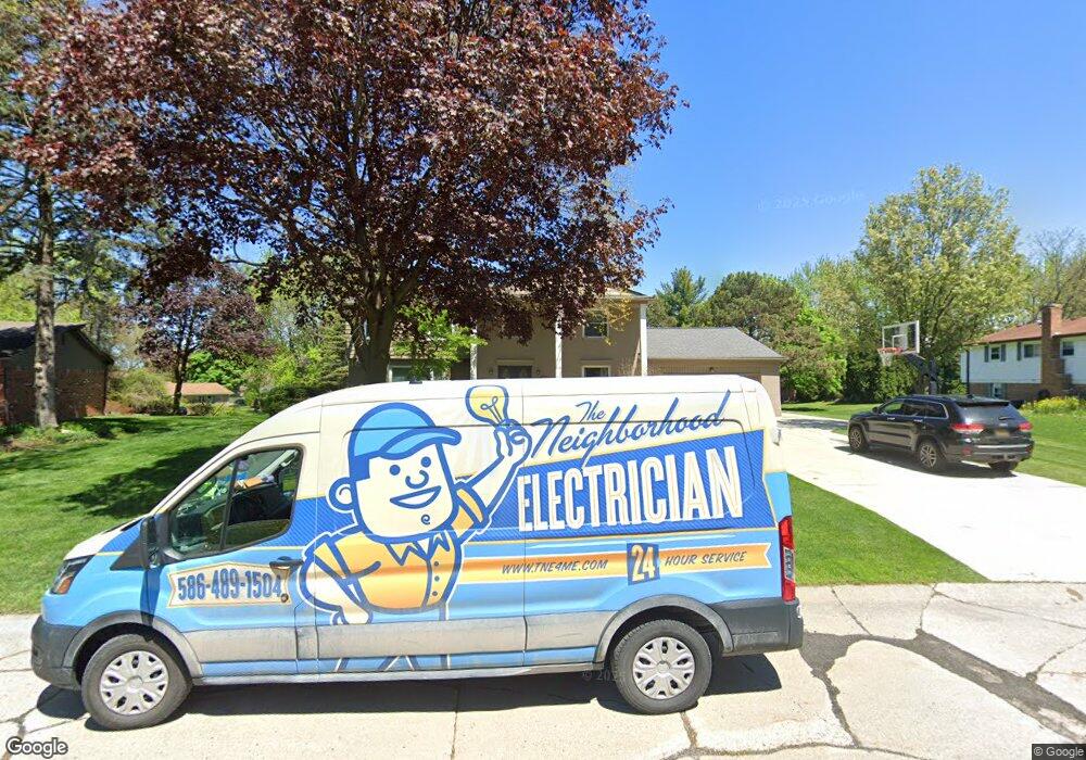
685 Rolling Rock Rd Bloomfield Hills, MI 48304
Estimated Value: $541,087 - $581,000
5
Beds
4
Baths
3,191
Sq Ft
$177/Sq Ft
Est. Value
About This Home
This home is located at 685 Rolling Rock Rd, Bloomfield Hills, MI 48304 and is currently estimated at $565,022, approximately $177 per square foot. 685 Rolling Rock Rd is a home located in Oakland County with nearby schools including Eastover Elementary School, Bloomfield Hills High School, and Arts & Technology Academy of Pontiac.
Ownership History
Date
Name
Owned For
Owner Type
Purchase Details
Closed on
Mar 8, 2004
Sold by
Peterson Carl W and Peterson Jenny
Bought by
Sneyd Michael and Sneyd Joy
Current Estimated Value
Create a Home Valuation Report for This Property
The Home Valuation Report is an in-depth analysis detailing your home's value as well as a comparison with similar homes in the area
Home Values in the Area
Average Home Value in this Area
Purchase History
| Date | Buyer | Sale Price | Title Company |
|---|---|---|---|
| Sneyd Michael | $325,000 | Philip R Seaver Title Co Inc |
Source: Public Records
Tax History Compared to Growth
Tax History
| Year | Tax Paid | Tax Assessment Tax Assessment Total Assessment is a certain percentage of the fair market value that is determined by local assessors to be the total taxable value of land and additions on the property. | Land | Improvement |
|---|---|---|---|---|
| 2024 | $2,558 | $261,150 | $0 | $0 |
| 2023 | $2,475 | $234,180 | $0 | $0 |
| 2022 | $4,651 | $194,990 | $0 | $0 |
| 2021 | $4,618 | $184,500 | $0 | $0 |
| 2020 | $2,264 | $182,840 | $0 | $0 |
| 2019 | $4,346 | $177,280 | $0 | $0 |
| 2018 | $4,366 | $178,930 | $0 | $0 |
| 2017 | $4,335 | $177,860 | $0 | $0 |
| 2016 | $4,250 | $168,910 | $0 | $0 |
| 2015 | -- | $145,910 | $0 | $0 |
| 2014 | -- | $133,090 | $0 | $0 |
| 2011 | -- | $99,540 | $0 | $0 |
Source: Public Records
Map
Nearby Homes
- 1912 Hunters Ridge Dr
- 1524 Georgetown Dr Unit 32
- 1522 Tannahill Ln
- 1987 Hunters Ridge Dr
- 635 E Fox Hills Dr Unit F41
- 653 E Fox Hills Dr Unit 49
- 654 E Fox Hills Dr
- 689 E Fox Hills Dr Unit 65
- 587 E Fox Hills Dr
- 737 E Fox Hills Dr Unit 180
- 723 E Fox Hills Dr Unit X186
- 2694 Crofthill Dr
- 1525 S Hill Blvd
- 408 Fox Hills #A5 Dr S
- 474 Fox Hills Dr N
- 426 Fox Hills Dr N Unit A5
- 433 Fox Hills Dr S Unit 5
- 720 Hamlet Ct
- 584 Cambridge Way Unit 522
- 457 Cambridge Way
- 693 Rolling Rock Rd
- 677 Rolling Rock Rd
- 745 Weybridge Dr
- 671 Rolling Rock Rd
- 751 Weybridge Dr
- 680 Rolling Rock Rd
- 764 Fox River Dr
- 692 Rolling Rock Rd
- 682 Sedgefield Dr
- 670 Sedgefield Dr
- 668 Rolling Rock Rd
- 756 Fox River Dr
- 756 Fox River Dr
- 663 Rolling Rock Rd
- 740 Weybridge Dr
- 732 Weybridge Dr
- 668 Sedgefield Dr
- 705 Weybridge Dr
- 748 Weybridge Dr
- 724 Weybridge Dr
