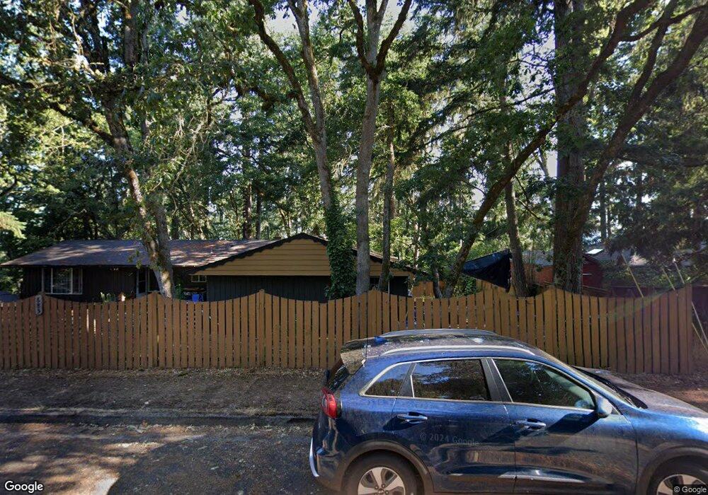
685 W 31st Ave Eugene, OR 97405
Crest Drive NeighborhoodEstimated Value: $573,000 - $605,000
5
Beds
3
Baths
2,024
Sq Ft
$291/Sq Ft
Est. Value
About This Home
This home is located at 685 W 31st Ave, Eugene, OR 97405 and is currently estimated at $589,094, approximately $291 per square foot. 685 W 31st Ave is a home located in Lane County with nearby schools including Adams Elementary School, Roosevelt Middle School, and South Eugene High School.
Ownership History
Date
Name
Owned For
Owner Type
Purchase Details
Closed on
Sep 27, 2017
Sold by
Unruh Mary Ann and Mary Ann Unruh Family Trust
Bought by
Reeser Ken and Defrancesco Diana
Current Estimated Value
Home Financials for this Owner
Home Financials are based on the most recent Mortgage that was taken out on this home.
Original Mortgage
$261,750
Outstanding Balance
$217,996
Interest Rate
3.89%
Mortgage Type
New Conventional
Estimated Equity
$371,098
Purchase Details
Closed on
Feb 20, 2003
Sold by
Yasuda Tatsuaki
Bought by
Unruh Mary Ann
Home Financials for this Owner
Home Financials are based on the most recent Mortgage that was taken out on this home.
Original Mortgage
$168,725
Interest Rate
5.89%
Create a Home Valuation Report for This Property
The Home Valuation Report is an in-depth analysis detailing your home's value as well as a comparison with similar homes in the area
Home Values in the Area
Average Home Value in this Area
Purchase History
| Date | Buyer | Sale Price | Title Company |
|---|---|---|---|
| Reeser Ken | $349,000 | Evergreen Land Title Company | |
| Unruh Mary Ann | $198,500 | -- |
Source: Public Records
Mortgage History
| Date | Status | Borrower | Loan Amount |
|---|---|---|---|
| Open | Reeser Ken | $261,750 | |
| Previous Owner | Unruh Mary Ann | $168,725 |
Source: Public Records
Tax History
| Year | Tax Paid | Tax Assessment Tax Assessment Total Assessment is a certain percentage of the fair market value that is determined by local assessors to be the total taxable value of land and additions on the property. | Land | Improvement |
|---|---|---|---|---|
| 2025 | $5,898 | $302,691 | -- | -- |
| 2024 | $5,824 | $293,875 | -- | -- |
| 2023 | $5,824 | $285,316 | $0 | $0 |
| 2022 | $5,456 | $277,006 | $0 | $0 |
| 2021 | $5,125 | $268,938 | $0 | $0 |
| 2020 | $5,143 | $261,105 | $0 | $0 |
| 2019 | $4,967 | $253,500 | $0 | $0 |
| 2018 | $4,674 | $238,949 | $0 | $0 |
| 2017 | $4,410 | $238,949 | $0 | $0 |
| 2016 | $4,131 | $231,989 | $0 | $0 |
| 2015 | $4,051 | $225,232 | $0 | $0 |
| 2014 | $4,145 | $218,672 | $0 | $0 |
Source: Public Records
Map
Nearby Homes
- 1 Storey Blvd
- 2 Storey Blvd
- 0 Hidden Meadows
- 3160 Whitten Dr
- 350 Loma Linda Ln
- 865 W 28th Ave
- 2965 Olive St
- 951 W 27th Ave
- 453 Dellwood Dr
- 3593 Lawrence St
- 357 W 37th Ave
- 84 W 27th Ave
- 75 W 35th Place
- 320 Dellwood Dr
- 3854 Monroe St
- 3872 Monroe St
- 806 Sundance St
- 310 1/2 E 31st Ave Unit 1
- 0 Mclean Blvd Unit 24671448
- 0 Mclean Blvd Unit 697374759
- 3055 Madison St
- 655 W 31st Ave
- 690 W 31st Ave
- 3010 Madison St
- 630 W 30th Ave
- 670 W 31st Ave
- 3022 Madison St
- 615 W 31st Ave
- 640 W 31st Ave
- 610 W 30th Ave
- 780 Lorane Hwy
- 610 W 31st Ave
- 774 Lorane Hwy
- 3000 Madison St
- 615 W 30th Ave
- 2993 Madison St
- 2988 Madison St
- 2986 Jefferson St
- 2980 Madison St
- 786 Lorane Hwy
Your Personal Tour Guide
Ask me questions while you tour the home.