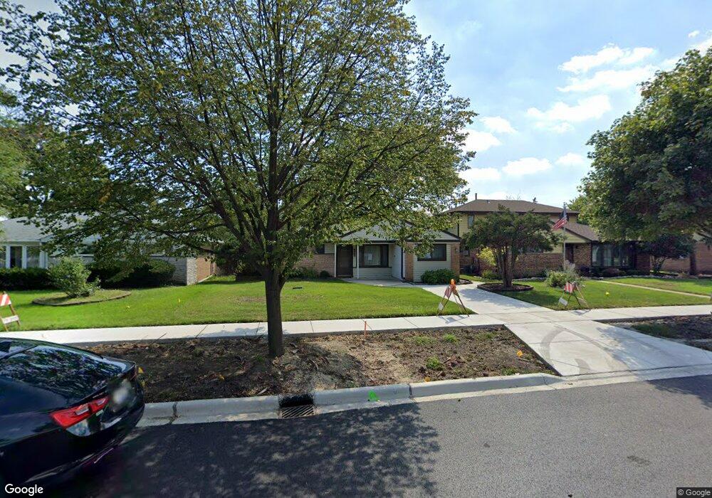
685 Walnut Ct Des Plaines, IL 60016
Estimated Value: $263,000 - $331,420
2
Beds
1
Bath
1,005
Sq Ft
$304/Sq Ft
Est. Value
About This Home
This home is located at 685 Walnut Ct, Des Plaines, IL 60016 and is currently estimated at $305,105, approximately $303 per square foot. 685 Walnut Ct is a home located in Cook County with nearby schools including Forest Elementary School, Algonquin Middle School, and Maine West High School.
Ownership History
Date
Name
Owned For
Owner Type
Purchase Details
Closed on
Jul 10, 2007
Sold by
Fornoff Dennis James
Bought by
Fornoff Dennis J and Fornoff Nancy M
Current Estimated Value
Purchase Details
Closed on
Jan 6, 1998
Sold by
Fornoff Harold P
Bought by
Fornoff Harold P and Trust #971002J
Purchase Details
Closed on
Aug 15, 1997
Sold by
Drozd Russell R and Drozd Dina M
Bought by
Fornoff Harold Peter
Create a Home Valuation Report for This Property
The Home Valuation Report is an in-depth analysis detailing your home's value as well as a comparison with similar homes in the area
Home Values in the Area
Average Home Value in this Area
Purchase History
| Date | Buyer | Sale Price | Title Company |
|---|---|---|---|
| Fornoff Dennis J | -- | None Available | |
| Fornoff Harold P | -- | -- | |
| Fornoff Harold Peter | $95,666 | -- |
Source: Public Records
Tax History Compared to Growth
Tax History
| Year | Tax Paid | Tax Assessment Tax Assessment Total Assessment is a certain percentage of the fair market value that is determined by local assessors to be the total taxable value of land and additions on the property. | Land | Improvement |
|---|---|---|---|---|
| 2024 | $6,591 | $25,000 | $5,247 | $19,753 |
| 2023 | $6,433 | $25,000 | $5,247 | $19,753 |
| 2022 | $6,433 | $25,000 | $5,247 | $19,753 |
| 2021 | $5,162 | $16,793 | $4,372 | $12,421 |
| 2020 | $5,075 | $16,793 | $4,372 | $12,421 |
| 2019 | $5,078 | $18,869 | $4,372 | $14,497 |
| 2018 | $5,226 | $17,475 | $3,847 | $13,628 |
| 2017 | $5,134 | $17,475 | $3,847 | $13,628 |
| 2016 | $4,856 | $17,475 | $3,847 | $13,628 |
| 2015 | $4,161 | $13,765 | $3,323 | $10,442 |
| 2014 | $4,074 | $13,765 | $3,323 | $10,442 |
| 2013 | $4,293 | $14,876 | $3,323 | $11,553 |
Source: Public Records
Map
Nearby Homes
- 674 E Algonquin Rd
- 1205 S Wolf Rd
- 1157 W Grant Dr
- 1056 E Villa Dr
- 1394 Carol Ln
- 906 Alfini Dr
- 505 Forest Ave
- 911 E Villa Dr
- 858 E Grant Dr
- 773 E Lincoln Ave
- 714 E Thacker St
- 807 Fairmont Ct
- 991 Wicke Ave
- 520 E Thacker St
- 881 E Thacker St
- 866 S 2nd Ave
- 434 E Thacker St
- 1596 Oxford Rd
- 1050 E Oakton St
- 915 Graceland Ave Unit 1E
- 679 Walnut Ct
- 693 Walnut Ct
- 671 Walnut Ct
- 682 E Algonquin Rd
- 692 E Algonquin Rd
- 674 E Algonquin Rd
- 661 Walnut Ct
- 668 E Algonquin Rd
- 1145 S 6th Ave
- 684 Walnut Ct
- 692 Walnut Ct
- 660 E Algonquin Rd
- 651 Walnut Ct
- 1159 Southwest Place
- 1137 S 6th Ave
- 710 E Algonquin Rd
- 652 E Algonquin Rd
- 641 Walnut Ct
- 1130 W Grant Dr
- 722 E Algonquin Rd