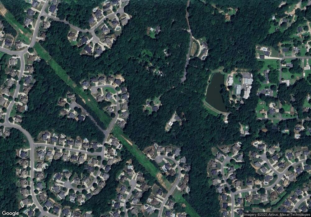
6851 Neil Densmore Tl Canton, GA 30114
Estimated Value: $568,847 - $642,000
4
Beds
3
Baths
2,880
Sq Ft
$210/Sq Ft
Est. Value
About This Home
This home is located at 6851 Neil Densmore Tl, Canton, GA 30114 and is currently estimated at $605,424, approximately $210 per square foot. 6851 Neil Densmore Tl is a home located in Cherokee County with nearby schools including J. Knox Elementary School, Teasley Middle School, and Cherokee High School.
Ownership History
Date
Name
Owned For
Owner Type
Purchase Details
Closed on
Nov 11, 2005
Sold by
Joly James J and Joly Sharon
Bought by
Lopez Jose L and Lopez Carmen R
Current Estimated Value
Home Financials for this Owner
Home Financials are based on the most recent Mortgage that was taken out on this home.
Original Mortgage
$147,000
Interest Rate
6.22%
Mortgage Type
New Conventional
Purchase Details
Closed on
Jul 8, 1999
Sold by
Roberts Charles R
Bought by
Joly James and Joly Sharon
Home Financials for this Owner
Home Financials are based on the most recent Mortgage that was taken out on this home.
Original Mortgage
$124,160
Interest Rate
7.58%
Mortgage Type
New Conventional
Create a Home Valuation Report for This Property
The Home Valuation Report is an in-depth analysis detailing your home's value as well as a comparison with similar homes in the area
Home Values in the Area
Average Home Value in this Area
Purchase History
| Date | Buyer | Sale Price | Title Company |
|---|---|---|---|
| Lopez Jose L | $210,000 | -- | |
| Joly James | $128,000 | -- |
Source: Public Records
Mortgage History
| Date | Status | Borrower | Loan Amount |
|---|---|---|---|
| Previous Owner | Lopez Jose L | $147,000 | |
| Previous Owner | Joly James | $124,160 |
Source: Public Records
Tax History Compared to Growth
Tax History
| Year | Tax Paid | Tax Assessment Tax Assessment Total Assessment is a certain percentage of the fair market value that is determined by local assessors to be the total taxable value of land and additions on the property. | Land | Improvement |
|---|---|---|---|---|
| 2024 | $4,352 | $167,480 | $39,360 | $128,120 |
| 2023 | $4,408 | $169,640 | $39,360 | $130,280 |
| 2022 | $3,367 | $128,120 | $39,360 | $88,760 |
| 2021 | $2,842 | $100,120 | $32,800 | $67,320 |
| 2020 | $2,628 | $92,480 | $32,800 | $59,680 |
| 2019 | $2,477 | $87,160 | $32,800 | $54,360 |
| 2018 | $2,419 | $84,600 | $32,800 | $51,800 |
| 2017 | $2,464 | $213,800 | $32,800 | $52,720 |
| 2016 | $2,301 | $197,600 | $30,040 | $49,000 |
| 2015 | $2,229 | $189,500 | $25,960 | $49,840 |
| 2014 | $2,079 | $176,400 | $21,840 | $48,720 |
Source: Public Records
Map
Nearby Homes
- 312 Gold Mill Trail
- 229 Crestwood Dr
- 4123 Gold Mill Ridge
- 4983 Millwood Dr
- 3087 Woodbridge Ln Unit 3L
- 3085 Woodbridge Ln
- 429 Arrowhead Trail
- 422 Arrowhead Trail
- 805 Cardinal Point Unit 4L
- 410 Arrowhead Trail
- 537 Oriole Farm Trail Unit 4L
- 259 Deer Valley Run
- 273 Deer Valley Run
- 113 Gold Bridge Crossing
- 272 Deer Valley Run
- 292 Deer Valley Run
- 252 Deer Valley Run
- 431 Gold Crossing
- 6851 Neil Densmore Trail
- 630 Blackwater Ridge Unit 4H
- 632 Blackwater Ridge
- 634 Blackwater Ridge
- 220 Harbor Ridge
- 636 Blackwater Ridge
- 628 Blackwater Ridge
- 218 Harbor Ridge
- 218 Harbor Ridge
- 222 Harbor Ridge
- 638 Blackwater Ridge
- 631 Blackwater Ridge Unit 4H
- 637 Blackwater Ridge
- 216 Harbor Ridge Unit 4H
- 624 Blackwater Ridge
- 640 Blackwater Ridge
- 643 Blackwater Ridge
- 217 Harbor Ridge
- 214 Harbor Ridge Unit 4H
- 622 Blackwater Ridge
