686 Packer Dr Hudson, WI 54016
Estimated Value: $453,000 - $509,000
3
Beds
3
Baths
--
Sq Ft
182,952
Sq Ft Lot
About This Home
This home is located at 686 Packer Dr, Hudson, WI 54016 and is currently estimated at $479,515. 686 Packer Dr is a home located in St. Croix County with nearby schools including Hudson Prairie Elementary School, Hudson Middle School, and Hudson High School.
Ownership History
Date
Name
Owned For
Owner Type
Purchase Details
Closed on
Nov 8, 2019
Sold by
Smith Samuel S
Bought by
Marson Michael L and Marson Christina A
Current Estimated Value
Home Financials for this Owner
Home Financials are based on the most recent Mortgage that was taken out on this home.
Original Mortgage
$289,275
Outstanding Balance
$251,981
Interest Rate
3.65%
Mortgage Type
New Conventional
Estimated Equity
$227,534
Purchase Details
Closed on
Jun 5, 2015
Sold by
Mischo Thomas P and Mischo Carla V
Bought by
Smith Samuel S
Home Financials for this Owner
Home Financials are based on the most recent Mortgage that was taken out on this home.
Original Mortgage
$236,500
Interest Rate
3.82%
Mortgage Type
VA
Create a Home Valuation Report for This Property
The Home Valuation Report is an in-depth analysis detailing your home's value as well as a comparison with similar homes in the area
Home Values in the Area
Average Home Value in this Area
Purchase History
| Date | Buyer | Sale Price | Title Company |
|---|---|---|---|
| Marson Michael L | $304,500 | Bankers Title | |
| Smith Samuel S | $238,500 | Bankers Title |
Source: Public Records
Mortgage History
| Date | Status | Borrower | Loan Amount |
|---|---|---|---|
| Open | Marson Michael L | $289,275 | |
| Previous Owner | Smith Samuel S | $236,500 |
Source: Public Records
Tax History
| Year | Tax Paid | Tax Assessment Tax Assessment Total Assessment is a certain percentage of the fair market value that is determined by local assessors to be the total taxable value of land and additions on the property. | Land | Improvement |
|---|---|---|---|---|
| 2025 | $3,996 | $389,200 | $139,800 | $249,400 |
| 2024 | $38 | $389,200 | $139,800 | $249,400 |
| 2023 | $3,728 | $389,200 | $139,800 | $249,400 |
| 2022 | $3,585 | $269,000 | $106,500 | $162,500 |
| 2021 | $3,555 | $269,000 | $106,500 | $162,500 |
| 2020 | $3,578 | $269,000 | $106,500 | $162,500 |
| 2019 | $3,473 | $269,000 | $106,500 | $162,500 |
| 2018 | $3,237 | $269,000 | $106,500 | $162,500 |
| 2017 | $3,048 | $190,400 | $52,700 | $137,700 |
| 2016 | $3,048 | $194,200 | $52,700 | $141,500 |
| 2015 | $2,266 | $161,200 | $52,700 | $108,500 |
| 2014 | $2,129 | $161,200 | $52,700 | $108,500 |
| 2013 | -- | $161,200 | $52,700 | $108,500 |
Source: Public Records
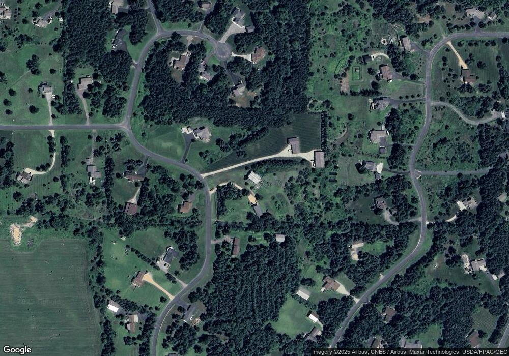
Map
Nearby Homes
- 664 Edna Dr
- 756 Packer Dr
- 998 Tanney Ln
- 1072 Buck Ridge
- 963 Sadies Ln
- 925 Sadies Ln
- 1006 Moon Glow Rd
- 1009 Moon Glow Rd
- 1002 Moon Glow Rd
- 839 Moonbeam Rd W
- 992 Moon Glow Rd
- 1193 60th St
- 1187 60th St
- 1195 60th St
- 1189 60th St
- 1198 60th St
- 1199 60th St
- 1178 56th St
- Lot 14 470 Elbert Dr
- Lot 20 487 Elbert
- 685 Packer Dr
- 673 Packer Dr
- 659 Packer Dr
- 1048 Viking Dr
- 645 Packer Dr
- 644 Packer Dr
- 646 Packer Dr
- 652 Packer Dr
- 676 Packer Dr
- 682 Packer Dr
- 704 Old Hopkins Place
- 705 Old Hopkins Place
- 696 Old Hopkins Place
- 697 Old Hopkins Place
- 688 Old Hopkins Place
- 700 Packer Dr
- 701 Packer Dr
- 691 Old Hopkins Place
- 721 Zephyr Ln
- 685 Old Hopkins Place
Your Personal Tour Guide
Ask me questions while you tour the home.