6860 Robin Ave Brownton, MN 55312
Estimated Value: $109,124 - $283,000
2
Beds
2
Baths
1,320
Sq Ft
$150/Sq Ft
Est. Value
About This Home
This home is located at 6860 Robin Ave, Brownton, MN 55312 and is currently estimated at $198,031, approximately $150 per square foot. 6860 Robin Ave is a home located in McLeod County with nearby schools including Lincoln Elementary School, Lakeside Elementary School, and Glencoe-Silver Lake Jr. High School.
Ownership History
Date
Name
Owned For
Owner Type
Purchase Details
Closed on
May 3, 2019
Sold by
Neisen John John
Bought by
Catlin Yancy Yancy
Current Estimated Value
Home Financials for this Owner
Home Financials are based on the most recent Mortgage that was taken out on this home.
Original Mortgage
$15,500
Outstanding Balance
$13,611
Interest Rate
4.14%
Estimated Equity
$184,420
Purchase Details
Closed on
Dec 5, 2014
Sold by
Jason R Jason R and Klabunde Diana
Bought by
Neisen John
Create a Home Valuation Report for This Property
The Home Valuation Report is an in-depth analysis detailing your home's value as well as a comparison with similar homes in the area
Home Values in the Area
Average Home Value in this Area
Purchase History
| Date | Buyer | Sale Price | Title Company |
|---|---|---|---|
| Catlin Yancy Yancy | $15,500 | -- | |
| Neisen John | -- | -- |
Source: Public Records
Mortgage History
| Date | Status | Borrower | Loan Amount |
|---|---|---|---|
| Open | Catlin Yancy Yancy | $15,500 | |
| Closed | Catlin Yancy Yancy | -- |
Source: Public Records
Tax History Compared to Growth
Tax History
| Year | Tax Paid | Tax Assessment Tax Assessment Total Assessment is a certain percentage of the fair market value that is determined by local assessors to be the total taxable value of land and additions on the property. | Land | Improvement |
|---|---|---|---|---|
| 2024 | $972 | $47,300 | $32,400 | $14,900 |
| 2023 | $908 | $47,300 | $32,400 | $14,900 |
| 2022 | $936 | $43,000 | $28,100 | $14,900 |
| 2021 | $958 | $39,400 | $24,500 | $14,900 |
| 2020 | $852 | $39,400 | $24,500 | $14,900 |
| 2019 | $558 | $37,200 | $22,300 | $14,900 |
| 2018 | $558 | $0 | $0 | $0 |
| 2017 | $1,738 | $0 | $0 | $0 |
| 2016 | $1,278 | $0 | $0 | $0 |
| 2015 | $718 | $0 | $0 | $0 |
| 2014 | -- | $0 | $0 | $0 |
Source: Public Records
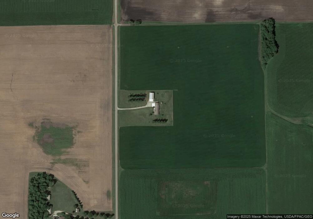
Map
Nearby Homes
- XXX US Hwy 212
- xxx Lot 2 Us Hwy 212
- Lot 2 U S Highway 212
- 7612 Plum Ave
- 122 2nd Ave S
- 221 3rd Ave S
- xxx Lot 3 Division St W
- 304 1st Ave N
- 531 2nd St N
- 752 2nd St N
- 237 5th St N
- 16452 90th St
- 11655 Sunset Cir
- 11742 Sunset Cir
- 12893 County Road 7
- 7900 Lace Ave N
- 7900 Lace Ave
- 13198 100th St
- 800 Powers St
- Lot 2 Tagus Ave
- 6659 Robin Ave
- 6411 Robin Ave
- 6411 Robin Ave
- 7424 Robin Ave
- 7424 Robin Ave
- 1xxx1 State Hwy 212
- 19092 65th St
- 7541 Highway 15
- 17463 65th St
- 7706 Plum Ave
- 19103 Highway 212
- 19103 Highway 212
- 0 1st Ave S (Unassigned Address) Ave Unit 4624824
- 0 1st Ave S (Unassigned Address) Ave Unit 4750777
- 6605 Plum Ave
- 6605 Plum Ave
- 6605 Plum Ave
- 6605 Plum Ave
- 6605 Plum Ave
- 6593 Plum Ave