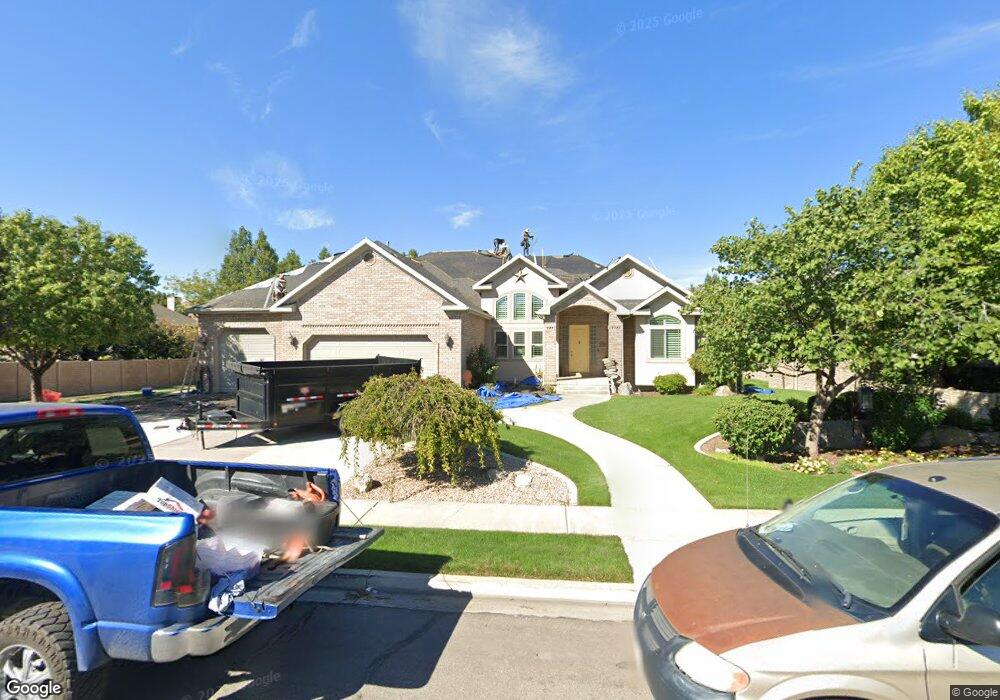
6862 W 10205 N Unit 11 Highland, UT 84003
Estimated Value: $1,525,000 - $1,740,000
3
Beds
3
Baths
2,801
Sq Ft
$593/Sq Ft
Est. Value
About This Home
This home is located at 6862 W 10205 N Unit 11, Highland, UT 84003 and is currently estimated at $1,660,125, approximately $592 per square foot. 6862 W 10205 N Unit 11 is a home located in Utah County with nearby schools including Freedom Elementary School, Mountain Ridge Junior High School, and American Fork High School.
Ownership History
Date
Name
Owned For
Owner Type
Purchase Details
Closed on
Oct 6, 2025
Sold by
Fox Asset Protection Trust and Fox Richard Brent
Bought by
Gregory Troy
Current Estimated Value
Home Financials for this Owner
Home Financials are based on the most recent Mortgage that was taken out on this home.
Original Mortgage
$1,998,000
Outstanding Balance
$1,998,000
Interest Rate
6.56%
Mortgage Type
Construction
Estimated Equity
-$337,875
Purchase Details
Closed on
Dec 3, 2020
Sold by
Fox Richard Brent and Fox Tracy
Bought by
Fox Richard Brent and Fox Tracy
Purchase Details
Closed on
Mar 21, 2014
Sold by
Fox Richard B and Fox Tracy
Bought by
Fox Family Trust and Fox Tracy
Purchase Details
Closed on
Jan 30, 2013
Sold by
Fox Richard Brent and Fox Tracey
Bought by
Fox Richard B and Fox Tracy
Home Financials for this Owner
Home Financials are based on the most recent Mortgage that was taken out on this home.
Original Mortgage
$398,000
Interest Rate
3.33%
Mortgage Type
New Conventional
Purchase Details
Closed on
Jan 14, 2009
Sold by
Fox Brent and Fox Tracy
Bought by
Fox Richard Brent and Fox Tracy
Home Financials for this Owner
Home Financials are based on the most recent Mortgage that was taken out on this home.
Original Mortgage
$417,000
Interest Rate
5.49%
Mortgage Type
New Conventional
Purchase Details
Closed on
Jan 3, 2003
Sold by
Fox Brent and Fox Tracy
Bought by
Fox Brent and Fox Tracy
Home Financials for this Owner
Home Financials are based on the most recent Mortgage that was taken out on this home.
Original Mortgage
$121,000
Interest Rate
5.96%
Purchase Details
Closed on
May 17, 2002
Sold by
Cowley Jeremy P and Cowley Angie K
Bought by
Fox Brent and Fox Tracy
Purchase Details
Closed on
Apr 25, 2001
Sold by
Hr Development Lc
Bought by
Adamson Brad
Home Financials for this Owner
Home Financials are based on the most recent Mortgage that was taken out on this home.
Original Mortgage
$300,000
Interest Rate
6.92%
Mortgage Type
Construction
Purchase Details
Closed on
Mar 29, 2001
Sold by
Hr Development Lc
Bought by
Cowley Jeremy P and Cowley Angie K
Home Financials for this Owner
Home Financials are based on the most recent Mortgage that was taken out on this home.
Original Mortgage
$300,000
Interest Rate
6.92%
Mortgage Type
Construction
Create a Home Valuation Report for This Property
The Home Valuation Report is an in-depth analysis detailing your home's value as well as a comparison with similar homes in the area
Home Values in the Area
Average Home Value in this Area
Purchase History
| Date | Buyer | Sale Price | Title Company |
|---|---|---|---|
| Gregory Troy | -- | Gt Title Services | |
| Fox Richard Brent | -- | None Available | |
| Fox Family Trust | -- | None Available | |
| Fox Richard B | -- | Select Title Insurance Agenc | |
| Fox Richard Brent | -- | First American | |
| Fox Brent | -- | Signature Title | |
| Fox Brent | -- | Equity Title Agency Inc | |
| Adamson Brad | -- | First American Title Insuran | |
| Cowley Jeremy P | -- | First American Title Ins Age |
Source: Public Records
Mortgage History
| Date | Status | Borrower | Loan Amount |
|---|---|---|---|
| Open | Gregory Troy | $1,998,000 | |
| Previous Owner | Fox Richard B | $398,000 | |
| Previous Owner | Fox Richard Brent | $417,000 | |
| Previous Owner | Fox Brent | $121,000 | |
| Previous Owner | Adamson Brad | $300,000 | |
| Previous Owner | Cowley Jeremy P | $58,000 |
Source: Public Records
Tax History Compared to Growth
Tax History
| Year | Tax Paid | Tax Assessment Tax Assessment Total Assessment is a certain percentage of the fair market value that is determined by local assessors to be the total taxable value of land and additions on the property. | Land | Improvement |
|---|---|---|---|---|
| 2025 | $5,841 | $784,960 | $704,200 | $723,000 |
| 2024 | $5,573 | $721,490 | $0 | $0 |
| 2023 | $5,573 | $742,610 | $0 | $0 |
| 2022 | $6,279 | $811,195 | $0 | $0 |
| 2021 | $5,739 | $1,104,400 | $456,400 | $648,000 |
| 2020 | $5,436 | $1,026,000 | $396,900 | $629,100 |
| 2019 | $5,197 | $1,026,000 | $396,900 | $629,100 |
| 2018 | $4,978 | $934,000 | $382,600 | $551,400 |
| 2017 | $4,806 | $481,360 | $0 | $0 |
| 2016 | $4,630 | $433,345 | $0 | $0 |
| 2015 | $4,449 | $394,735 | $0 | $0 |
| 2014 | $4,038 | $355,025 | $0 | $0 |
Source: Public Records
Map
Nearby Homes
- 9967 N 6670 W
- 9924 N 6630 W Unit 9
- 6399 W 10150 N
- 6692 W 9770 N
- 10434 N 6400 W
- 6372 W 10400 N
- 6373 W 10500 N
- 975 E 2125 N
- 859 E 2125 N
- 2208 N 825 E
- 1602 E Center Pointe Dr
- 1602 E Center Pointe Dr Unit 1
- 1610 E Center Pointe Dr
- 975 E 2850 N
- 6190 W 10050 N
- 9435 N Aspen Hollow Cir
- 6271 W 10830 St N
- 1438 N 400 W
- 11337 N 5950 W Unit 7
- 5973 W 9960 N
- 6848 W 10205 N
- 6848 W 10205 N Unit 10
- 6912 W 10205 N
- 6912 W 10205 N Unit 12
- 6871 W 10205 N
- 6871 W 10205 N Unit 6
- 6828 W 10205 N
- 6828 W 10205 N Unit 9
- 6847 W 10205 N
- 6847 W 10205 N Unit 7
- 6893 W 10205 N
- 10215 N 6890 W
- 10215 N 6890 W Unit 13
- 6823 W 10205 N
- 6823 W 10205 N Unit 8
- 6855 W 10300 N
- 6855 W 10300 N Unit 1
- 10197 N 6890 W
- 10183 6890 W Unit 15
- 6740 10205 N Unit 4