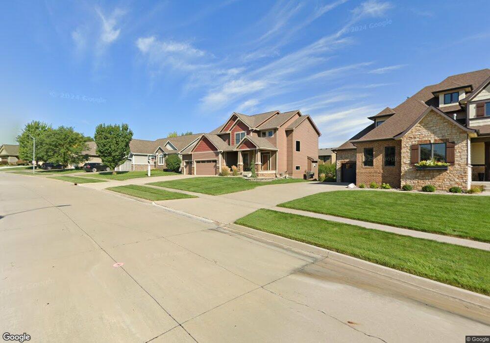
6865 Reed Ln West Des Moines, IA 50266
Estimated Value: $536,957 - $642,000
4
Beds
5
Baths
2,464
Sq Ft
$241/Sq Ft
Est. Value
About This Home
This home is located at 6865 Reed Ln, West Des Moines, IA 50266 and is currently estimated at $594,489, approximately $241 per square foot. 6865 Reed Ln is a home located in Dallas County with nearby schools including Brookview Elementary School, South Middle School, and Prairieview Middle School.
Ownership History
Date
Name
Owned For
Owner Type
Purchase Details
Closed on
Feb 28, 2012
Sold by
Kimberly Development Dorp
Bought by
Wilhelm Amanda K
Current Estimated Value
Home Financials for this Owner
Home Financials are based on the most recent Mortgage that was taken out on this home.
Original Mortgage
$312,000
Outstanding Balance
$214,220
Interest Rate
3.86%
Mortgage Type
New Conventional
Estimated Equity
$380,269
Create a Home Valuation Report for This Property
The Home Valuation Report is an in-depth analysis detailing your home's value as well as a comparison with similar homes in the area
Home Values in the Area
Average Home Value in this Area
Purchase History
| Date | Buyer | Sale Price | Title Company |
|---|---|---|---|
| Wilhelm Amanda K | $390,000 | None Available |
Source: Public Records
Mortgage History
| Date | Status | Borrower | Loan Amount |
|---|---|---|---|
| Open | Wilhelm Amanda K | $312,000 |
Source: Public Records
Tax History Compared to Growth
Tax History
| Year | Tax Paid | Tax Assessment Tax Assessment Total Assessment is a certain percentage of the fair market value that is determined by local assessors to be the total taxable value of land and additions on the property. | Land | Improvement |
|---|---|---|---|---|
| 2024 | $8,240 | $497,480 | $85,000 | $412,480 |
| 2023 | $8,240 | $497,480 | $85,000 | $412,480 |
| 2022 | $8,084 | $440,120 | $85,000 | $355,120 |
| 2021 | $8,084 | $436,820 | $75,000 | $361,820 |
| 2020 | $7,976 | $417,430 | $75,000 | $342,430 |
| 2019 | $8,346 | $417,430 | $75,000 | $342,430 |
| 2018 | $8,346 | $416,400 | $75,000 | $341,400 |
| 2017 | $8,198 | $416,400 | $75,000 | $341,400 |
| 2016 | $8,004 | $398,780 | $75,000 | $323,780 |
| 2015 | $7,764 | $398,780 | $0 | $0 |
| 2014 | $7,546 | $398,780 | $0 | $0 |
Source: Public Records
Map
Nearby Homes
- 900 67th St Unit 805
- 6800 Ashworth Rd Unit 306
- 7126 Aspen Dr
- 950 67th St Unit 412
- 950 67th St Unit 321
- 7143 Dakota Dr
- 6980 Cody Dr Unit 43
- 6980 Cody Dr Unit 17
- 7153 Cody Dr
- 980 65th St
- 681 63rd St
- 989 65th St
- 6204 Aspen Dr
- 6440 Ep True Pkwy Unit 3205
- 6440 Ep True Pkwy Unit 2205
- 6440 Ep True Pkwy Unit 1108
- 6855 Woodland Ave Unit 505
- 6178 Aspen Dr
- 748 76th St
- 7625 Escalade Ct