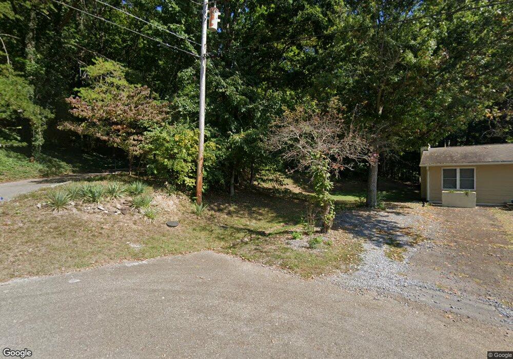
6869 Langston Dr Knoxville, TN 37918
Halls Crossroads NeighborhoodEstimated Value: $282,000 - $305,000
3
Beds
2
Baths
1,921
Sq Ft
$153/Sq Ft
Est. Value
About This Home
This home is located at 6869 Langston Dr, Knoxville, TN 37918 and is currently estimated at $293,686, approximately $152 per square foot. 6869 Langston Dr is a home located in Knox County with nearby schools including Adrian Burnett Elementary School, Halls High School, and Halls Middle School.
Ownership History
Date
Name
Owned For
Owner Type
Purchase Details
Closed on
Apr 29, 2016
Sold by
Bourgeois Quint
Bought by
Walker Francis C and Walker Mary S
Current Estimated Value
Home Financials for this Owner
Home Financials are based on the most recent Mortgage that was taken out on this home.
Original Mortgage
$112,000
Outstanding Balance
$48,292
Interest Rate
2.99%
Mortgage Type
New Conventional
Estimated Equity
$245,394
Purchase Details
Closed on
Sep 15, 2015
Sold by
Schmerber Fred and Schmerber Linda S
Bought by
Bourgeois Quint
Create a Home Valuation Report for This Property
The Home Valuation Report is an in-depth analysis detailing your home's value as well as a comparison with similar homes in the area
Home Values in the Area
Average Home Value in this Area
Purchase History
| Date | Buyer | Sale Price | Title Company |
|---|---|---|---|
| Walker Francis C | $140,000 | Concord Title | |
| Bourgeois Quint | $59,500 | Attorney |
Source: Public Records
Mortgage History
| Date | Status | Borrower | Loan Amount |
|---|---|---|---|
| Open | Walker Francis C | $112,000 |
Source: Public Records
Tax History Compared to Growth
Tax History
| Year | Tax Paid | Tax Assessment Tax Assessment Total Assessment is a certain percentage of the fair market value that is determined by local assessors to be the total taxable value of land and additions on the property. | Land | Improvement |
|---|---|---|---|---|
| 2024 | $648 | $41,700 | $0 | $0 |
| 2023 | $648 | $41,700 | $0 | $0 |
| 2022 | $648 | $41,700 | $0 | $0 |
| 2021 | $667 | $31,475 | $0 | $0 |
| 2020 | $667 | $31,475 | $0 | $0 |
| 2019 | $667 | $31,475 | $0 | $0 |
| 2018 | $667 | $31,475 | $0 | $0 |
| 2017 | $667 | $31,475 | $0 | $0 |
| 2016 | $644 | $0 | $0 | $0 |
| 2015 | $644 | $0 | $0 | $0 |
| 2014 | $644 | $0 | $0 | $0 |
Source: Public Records
Map
Nearby Homes
- 4416 Foley Dr
- 4320 Lonor Dr
- 0 Brown Gap Rd
- 4301 Foley Dr
- 6408 Oleary Rd
- 4316 Felty Dr
- 7007 Summer Oak Ln
- 4512 Everwood Oak Ln
- 4412 Brown Gap Rd
- 6531 Cedar Bend Rd
- 6310 Crown Hill Dr
- 4635 Oak Meadow Way
- 4732 Brown Gap Rd
- 7137 Winter Oaks Way Unit 18
- 5013 Ridgemont Dr
- 3912 Valley Creek Way
- 4912 Laurelwood Rd
- 5259 Walkercrest Ln
- 6537 Autumn Kayla Ln Unit II
- 5309 Oak Glade Ln
- 6869 Langston Dr Unit 6
- 6865 Langston Dr
- 4516 Felty Dr
- 6535 Bob Varner Rd
- 4521 Felty Dr
- 6861 Langston Dr
- 4517 Felty Dr
- 4512 Felty Dr
- 6856 Langston Dr
- 6857 Langston Dr
- 4417 Ohara Dr
- 4508 Felty Dr
- 6852 Langston Dr
- 4413 Ohara Dr
- 6850 Langston Dr
- 0 Langston
- 6853 Langston Dr
- 4409 Ohara Dr
- 4509 Felty Dr
- 4504 Felty Dr