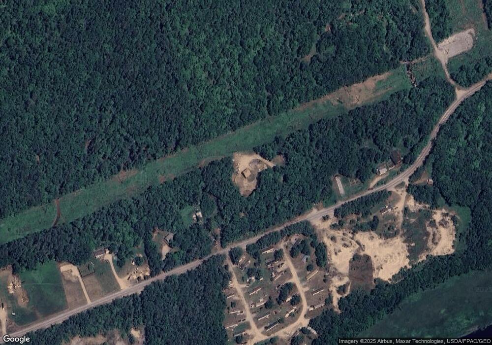
687 Canton Point Rd Canton, ME 04221
Estimated Value: $112,321 - $303,000
--
Bed
--
Bath
624
Sq Ft
$353/Sq Ft
Est. Value
About This Home
This home is located at 687 Canton Point Rd, Canton, ME 04221 and is currently estimated at $220,080, approximately $352 per square foot. 687 Canton Point Rd is a home.
Ownership History
Date
Name
Owned For
Owner Type
Purchase Details
Closed on
Jun 22, 2023
Sold by
Noyes Russell M and Noyes Tanya J
Bought by
Hutchinson Jessica L and Noyes David L
Current Estimated Value
Purchase Details
Closed on
Nov 20, 2008
Sold by
Roy Deborah L
Bought by
Hutchinson Jessica L and Noyes David L
Home Financials for this Owner
Home Financials are based on the most recent Mortgage that was taken out on this home.
Original Mortgage
$36,000
Interest Rate
6.03%
Mortgage Type
Purchase Money Mortgage
Create a Home Valuation Report for This Property
The Home Valuation Report is an in-depth analysis detailing your home's value as well as a comparison with similar homes in the area
Home Values in the Area
Average Home Value in this Area
Purchase History
| Date | Buyer | Sale Price | Title Company |
|---|---|---|---|
| Hutchinson Jessica L | -- | None Available | |
| Hutchinson Jessica L | -- | None Available | |
| Hutchinson Jessica L | -- | -- | |
| Hutchinson Jessica L | -- | -- |
Source: Public Records
Mortgage History
| Date | Status | Borrower | Loan Amount |
|---|---|---|---|
| Previous Owner | Hutchinson Jessica L | $36,000 |
Source: Public Records
Tax History Compared to Growth
Tax History
| Year | Tax Paid | Tax Assessment Tax Assessment Total Assessment is a certain percentage of the fair market value that is determined by local assessors to be the total taxable value of land and additions on the property. | Land | Improvement |
|---|---|---|---|---|
| 2024 | $1,107 | $53,354 | $26,060 | $27,294 |
| 2023 | $1,032 | $53,594 | $26,300 | $27,294 |
| 2022 | $951 | $53,594 | $26,300 | $27,294 |
| 2021 | $938 | $53,594 | $26,300 | $27,294 |
| 2020 | $1,990 | $53,594 | $26,300 | $27,294 |
| 2019 | $938 | $53,594 | $26,300 | $27,294 |
| 2018 | $1,018 | $58,174 | $25,300 | $32,874 |
| 2017 | $1,155 | $58,174 | $25,300 | $32,874 |
| 2016 | $1,163 | $58,174 | $25,300 | $32,874 |
| 2015 | $1,207 | $58,174 | $25,300 | $32,874 |
| 2013 | $1,233 | $58,174 | $25,300 | $32,874 |
Source: Public Records
Map
Nearby Homes
- 683 Canton Point Rd
- 21 Coolidge Rd
- 3 Golden Ridge Rd
- 158 Common Rd
- 020 Canton Mountain Rd
- 0 Canton Mountain Rd Unit 1642193
- 47 Turner St
- 418 E Shore Rd
- 20 Dyke Dr
- 71 Mountain View Dr
- 0 High St
- Map 15 Lot 36a
- 000 Intervale Rd
- 1 Lake View Dr
- Lots 10&11 Davenport Rd
- 89 Hall Hill Rd
- Lot #37C Village View
- M22 L18 Route 140
- 80 Gammon Rd
- 212 Ridge Rd
- 684 Canton Point Rd
- 659 Canton Point Rd
- 743 Canton Point Rd
- 641 Canton Point Rd
- 0 Ludden Ln Unit 1007833
- Lot 10 Ludden
- 0 River Rd
- 0 Canton Point
- 408 River Rd
- 502 Canton Point Rd
- 554 Canton Point
- 1396 Auburn Rd
- 772 Canton Point Rd
- 592 River Rd
- 780 Canton Point Rd
- 792 Canton Point Rd
- 351 River Rd
- 803 Canton Point Rd
- 1329 Auburn Rd
- 821 Canton Point Rd
