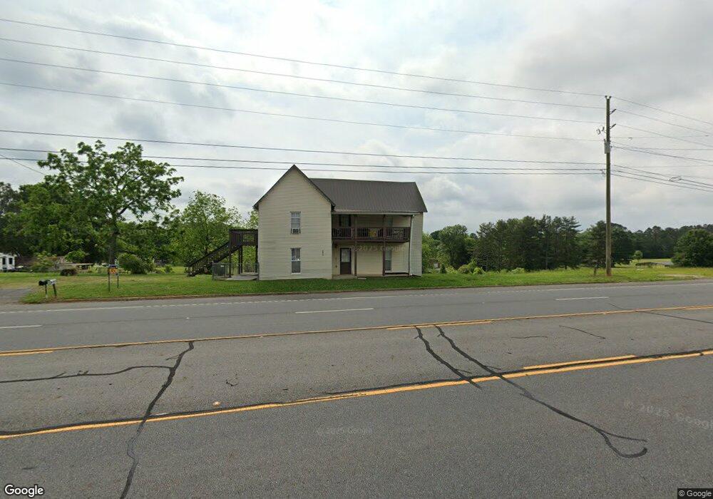
6870 N Highway 27 Rock Spring, GA 30739
Rock Spring NeighborhoodEstimated Value: $291,000 - $338,000
--
Bed
1
Bath
2,270
Sq Ft
$141/Sq Ft
Est. Value
About This Home
This home is located at 6870 N Highway 27, Rock Spring, GA 30739 and is currently estimated at $320,734, approximately $141 per square foot. 6870 N Highway 27 is a home with nearby schools including Rock Spring Elementary School, Lafayette High School, and Alice M Daley Adventist School.
Ownership History
Date
Name
Owned For
Owner Type
Purchase Details
Closed on
May 10, 1999
Sold by
Dickerson J B
Bought by
Jenkins Edith Dean
Current Estimated Value
Purchase Details
Closed on
Jan 26, 1999
Sold by
Kay Billie M
Bought by
Dickerson J B
Purchase Details
Closed on
Sep 4, 1998
Sold by
Dickerson J B Est
Bought by
Kay Billie M
Purchase Details
Closed on
Jan 1, 1972
Bought by
Dickerson J B Est
Create a Home Valuation Report for This Property
The Home Valuation Report is an in-depth analysis detailing your home's value as well as a comparison with similar homes in the area
Home Values in the Area
Average Home Value in this Area
Purchase History
| Date | Buyer | Sale Price | Title Company |
|---|---|---|---|
| Jenkins Edith Dean | $32,000 | -- | |
| Dickerson J B | -- | -- | |
| Kay Billie M | -- | -- | |
| Dickerson J B Est | -- | -- |
Source: Public Records
Tax History Compared to Growth
Tax History
| Year | Tax Paid | Tax Assessment Tax Assessment Total Assessment is a certain percentage of the fair market value that is determined by local assessors to be the total taxable value of land and additions on the property. | Land | Improvement |
|---|---|---|---|---|
| 2024 | $2,267 | $95,945 | $12,920 | $83,025 |
| 2023 | $2,158 | $88,839 | $10,254 | $78,585 |
| 2022 | $1,999 | $76,281 | $9,033 | $67,248 |
| 2021 | $1,864 | $63,638 | $9,033 | $54,605 |
| 2020 | $1,624 | $52,347 | $9,033 | $43,314 |
| 2019 | $1,200 | $35,738 | $9,033 | $26,705 |
| 2018 | $946 | $35,738 | $9,033 | $26,705 |
| 2017 | $1,298 | $35,738 | $9,033 | $26,705 |
| 2016 | $1,004 | $35,738 | $9,033 | $26,705 |
| 2015 | $913 | $27,371 | $3,260 | $24,111 |
| 2014 | $791 | $27,371 | $3,260 | $24,111 |
| 2013 | -- | $27,371 | $3,260 | $24,111 |
Source: Public Records
Map
Nearby Homes
- 10180 Us Highway 27
- 15 Willow Cir
- 23 Willow Cir
- 16 Willow Cir
- 11 Willow Cir
- The Pearson Plan at Laurel Ridge
- The Benson II Plan at Laurel Ridge
- The Langford Plan at Laurel Ridge
- The Lawson Plan at Laurel Ridge
- The Piedmont Plan at Laurel Ridge
- The Coleman Plan at Laurel Ridge
- The McGinnis Plan at Laurel Ridge
- The Caldwell Plan at Laurel Ridge
- 1003 Highway N Old 27
- 1370 Old Highway 27
- 5602 Georgia 95
- 00 Georgia 95
- 701 Bicentennial Trail
- 6895 U S 27
- 6895 N Highway 27
- 6873 N Highway 27
- 6837 N Highway 27
- 6937 N Highway 27
- 6837 Us Highway 27
- 452 Graham Cir
- 452 Graham Cir
- 6959 N Highway 27
- 6981 N Highway 27
- 91 Jones Rd
- 10 Graham Cir
- 50 Guy Williams Rd
- 92 Jones Rd
- 401 Graham Cir
- 505 Graham Cir
- 23 Graham Rd
- 92 Graham Rd
- 9 Graham Rd
- 94 Guy Williams Rd