68726 Michael Way Twentynine Palms, CA 92277
Estimated Value: $56,395 - $136,000
--
Bed
--
Bath
396
Sq Ft
$258/Sq Ft
Est. Value
About This Home
This home is located at 68726 Michael Way, Twentynine Palms, CA 92277 and is currently estimated at $102,099, approximately $257 per square foot. 68726 Michael Way is a home located in San Bernardino County with nearby schools including Twentynine Palms Elementary School, Twentynine Palms Junior High School, and Twentynine Palms High School.
Ownership History
Date
Name
Owned For
Owner Type
Purchase Details
Closed on
Apr 8, 2016
Sold by
Silva Berenis
Bought by
Segura Perez Salvador and Segura Limon Isabel Alejandro
Current Estimated Value
Home Financials for this Owner
Home Financials are based on the most recent Mortgage that was taken out on this home.
Original Mortgage
$30,000
Outstanding Balance
$23,786
Interest Rate
3.62%
Mortgage Type
Purchase Money Mortgage
Estimated Equity
$78,313
Purchase Details
Closed on
Feb 11, 2015
Sold by
Jt Land Llc
Bought by
Silva Berenis
Home Financials for this Owner
Home Financials are based on the most recent Mortgage that was taken out on this home.
Original Mortgage
$20,000
Interest Rate
3.8%
Mortgage Type
Seller Take Back
Purchase Details
Closed on
Jun 30, 2014
Sold by
Fortunato Anthony L and Fortunato Teri E
Bought by
The Savani Family Trust
Purchase Details
Closed on
Nov 1, 2003
Sold by
Wood Anna M
Bought by
Fortunato Anthony L and Fortunato Teri E
Create a Home Valuation Report for This Property
The Home Valuation Report is an in-depth analysis detailing your home's value as well as a comparison with similar homes in the area
Home Values in the Area
Average Home Value in this Area
Purchase History
| Date | Buyer | Sale Price | Title Company |
|---|---|---|---|
| Segura Perez Salvador | $35,000 | None Available | |
| Silva Berenis | $25,000 | Provident Title Company | |
| Jt Land Llc | $6,500 | None Available | |
| The Savani Family Trust | $6,100 | None Available | |
| Fortunato Anthony L | -- | -- |
Source: Public Records
Mortgage History
| Date | Status | Borrower | Loan Amount |
|---|---|---|---|
| Open | Segura Perez Salvador | $30,000 | |
| Previous Owner | Silva Berenis | $20,000 |
Source: Public Records
Tax History Compared to Growth
Tax History
| Year | Tax Paid | Tax Assessment Tax Assessment Total Assessment is a certain percentage of the fair market value that is determined by local assessors to be the total taxable value of land and additions on the property. | Land | Improvement |
|---|---|---|---|---|
| 2025 | $784 | $41,435 | $14,208 | $27,227 |
| 2024 | $784 | $40,622 | $13,929 | $26,693 |
| 2023 | $771 | $39,826 | $13,656 | $26,170 |
| 2022 | $757 | $39,045 | $13,388 | $25,657 |
| 2021 | $748 | $38,279 | $13,125 | $25,154 |
| 2020 | $741 | $37,886 | $12,990 | $24,896 |
| 2019 | $735 | $37,143 | $12,735 | $24,408 |
| 2018 | $725 | $36,414 | $12,485 | $23,929 |
| 2017 | $717 | $35,700 | $12,240 | $23,460 |
| 2016 | $602 | $25,382 | $15,229 | $10,153 |
| 2015 | $478 | $20,112 | $11,829 | $8,283 |
| 2014 | $474 | $19,718 | $11,597 | $8,121 |
Source: Public Records
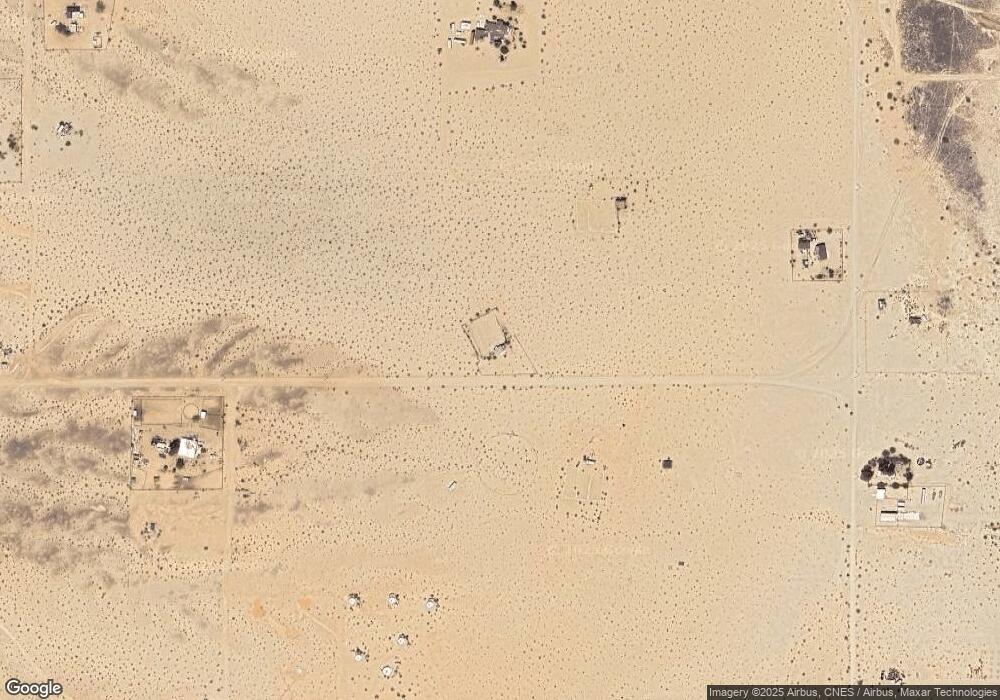
Map
Nearby Homes
- 68825 Michael Way
- 0 Michael Way
- 0 Indian Trail Unit EV24154806
- 0 Indian Trail Unit 25603319
- 0 Indian Trail Unit 219140030
- 3838 Indian Cove Rd
- 4.81 Acres On Lear Near Indian Trail
- 0 Lear Ave Unit OC23040601
- 0 Lear Ave Unit SR25166133
- 3575 Lear Ave
- 1 Cielito Dr
- 5055 Shoshone Valley Rd
- 67980 Valle Vista Rd
- 1 Lear Ave
- 1234 Amboy Rd
- 6192012200 Amboy Rd
- 78751 Amboy Rd
- 68451 Bellerue Rd
- 69450 Amboy Rd
- 69761 Sunny Sands Dr
- 68727 Indian Trail
- 3838 Los Olivos Ave
- 68819 Michael Way
- 3930 Lori Ln
- 3869 Los Olivos Ave
- 68600 Indian Trail
- 3981 Los Olivos Ave
- 3757 El Portal Ave
- 68638 Mesa Dr
- 0 Indian Trail Unit JT18161471
- 0 Indian Trail Unit SW18111174
- 0 Indian Trail Unit DC21125905
- 0 Indian Trail Unit DC21126119
- 0 Indian Trail Unit DC21126118
- 0 Indian Trail Unit DC21126117
- 0 Indian Trail Unit DC21126325
- 0 Indian Trail Unit DC21129505
- 0 Indian Trail Unit DC21130817
- 0 Indian Trail Unit DC21132435
- 0 Indian Trail Unit DC12068284