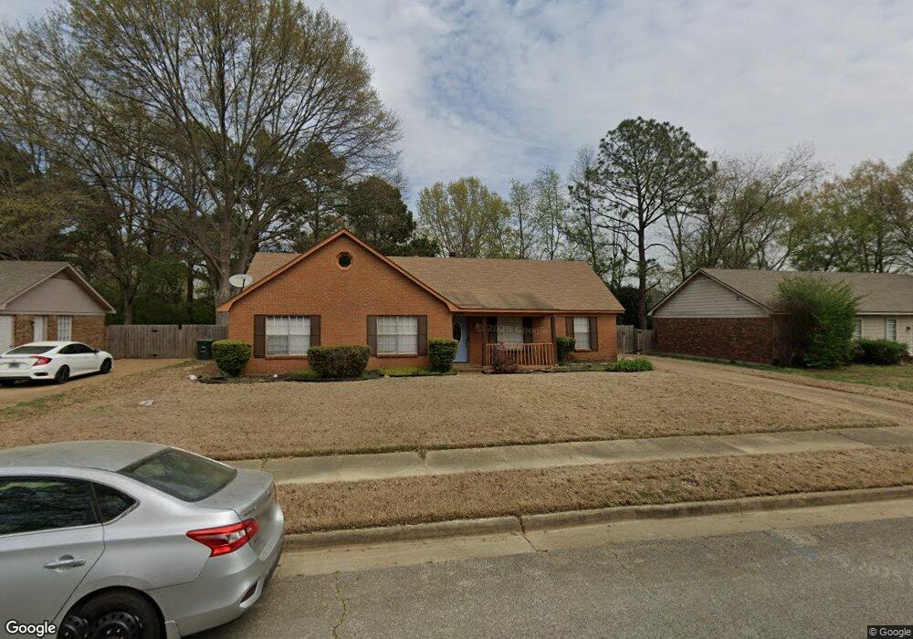
6874 Rockbrook Dr Memphis, TN 38141
Hickory Hill NeighborhoodEstimated Value: $161,000 - $200,000
3
Beds
2
Baths
1,467
Sq Ft
$121/Sq Ft
Est. Value
About This Home
This home is located at 6874 Rockbrook Dr, Memphis, TN 38141 and is currently estimated at $177,746, approximately $121 per square foot. 6874 Rockbrook Dr is a home located in Shelby County with nearby schools including Ross Elementary School, Kirby High School, and Memphis Business Academy Hickory Hill Middle School.
Ownership History
Date
Name
Owned For
Owner Type
Purchase Details
Closed on
Aug 1, 2000
Sold by
Calderon Susan S
Bought by
Anderson Reginald and Anderson Renita T
Current Estimated Value
Home Financials for this Owner
Home Financials are based on the most recent Mortgage that was taken out on this home.
Original Mortgage
$89,400
Outstanding Balance
$40,726
Interest Rate
11.95%
Estimated Equity
$137,020
Purchase Details
Closed on
Jun 24, 1997
Sold by
Reeder Billie Dean I
Bought by
Calderon Susan Sanders
Create a Home Valuation Report for This Property
The Home Valuation Report is an in-depth analysis detailing your home's value as well as a comparison with similar homes in the area
Home Values in the Area
Average Home Value in this Area
Purchase History
| Date | Buyer | Sale Price | Title Company |
|---|---|---|---|
| Anderson Reginald | $89,900 | -- | |
| Calderon Susan Sanders | -- | -- |
Source: Public Records
Mortgage History
| Date | Status | Borrower | Loan Amount |
|---|---|---|---|
| Open | Anderson Reginald | $89,400 |
Source: Public Records
Tax History Compared to Growth
Tax History
| Year | Tax Paid | Tax Assessment Tax Assessment Total Assessment is a certain percentage of the fair market value that is determined by local assessors to be the total taxable value of land and additions on the property. | Land | Improvement |
|---|---|---|---|---|
| 2025 | $1,149 | $40,100 | $6,125 | $33,975 |
| 2024 | $1,149 | $33,900 | $5,450 | $28,450 |
| 2023 | $2,065 | $33,900 | $5,450 | $28,450 |
| 2022 | $2,065 | $33,900 | $5,450 | $28,450 |
| 2021 | $2,089 | $33,900 | $5,450 | $28,450 |
| 2020 | $1,523 | $21,025 | $5,450 | $15,575 |
| 2019 | $1,523 | $21,025 | $5,450 | $15,575 |
| 2018 | $1,523 | $21,025 | $5,450 | $15,575 |
| 2017 | $864 | $21,025 | $5,450 | $15,575 |
| 2016 | $858 | $19,625 | $0 | $0 |
| 2014 | $858 | $19,625 | $0 | $0 |
Source: Public Records
Map
Nearby Homes
- 6842 Rockbrook Dr
- 6879 Gilford Dr
- 6846 Gilford Dr
- 6770 Seven Valley Dr
- 4373 Lloydminster Cove
- 4344 Snowmass Ln
- 4529 Quail Ridge Trail
- 6788 Burlingame Dr
- 4335 Snowmass Ln
- 6623 Quail Covey Dr
- 4331 Crimson Leaf Cove
- 6732 Henredon Dr
- 4304 Bear Creek Ln
- 4741 Ross Creek Dr
- 6893 Snyder Rd
- 6577 Beaverlodge Dr
- 6799 Ross Ridge Dr
- 4264 Timber Rise Rd
- 4351 Spring Oak Cove
- 6543 Stockport Dr
- 6868 Rockbrook Dr
- 6880 Rockbrook Dr
- 6899 Bordeaux Ln
- 6888 Rockbrook Dr
- 6875 Rockbrook Dr
- 6862 Rockbrook Dr
- 6896 Bordeaux Ln
- 6861 Rockbrook Dr
- 6900 Bordeaux Ln
- 6894 Rockbrook Dr
- 4579 Limestone Ln
- 6905 Bordeaux Ln
- 4570 Leash Ln
- 6856 Rockbrook Dr
- 6891 Rockbrook Dr
- 6887 Sauvignon Cove
- 4578 Leash Ln
- 6900 Rockbrook Dr
- 6913 Bordeaux Ln
- 6906 Bordeaux Ln