Estimated Value: $415,080 - $485,000
4
Beds
2
Baths
2,083
Sq Ft
$211/Sq Ft
Est. Value
About This Home
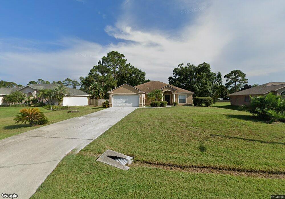
This home is located at 6875 Hundred Acre Dr, Cocoa, FL 32927 and is currently estimated at $439,270, approximately $210 per square foot. 6875 Hundred Acre Dr is a home located in Brevard County with nearby schools including Enterprise Elementary School, Space Coast Junior/Senior High School, and East Atlantic Prep of Brevard County.
Ownership History
Date
Name
Owned For
Owner Type
Purchase Details
Closed on
Mar 19, 2008
Sold by
Hepburn Stanley D
Bought by
Hepburn Rosita E
Current Estimated Value
Purchase Details
Closed on
Sep 30, 1998
Sold by
Mercedes Homes Inc
Bought by
Hepburn Stanley D and Hepburn Rosita E
Home Financials for this Owner
Home Financials are based on the most recent Mortgage that was taken out on this home.
Original Mortgage
$114,954
Interest Rate
6.96%
Purchase Details
Closed on
Apr 30, 1998
Sold by
Niewoehner Jack E
Bought by
Mercedes Homes Inc
Purchase Details
Closed on
Dec 30, 1993
Sold by
Romar Homes Inc
Bought by
Niewoehner Jack E
Create a Home Valuation Report for This Property
The Home Valuation Report is an in-depth analysis detailing your home's value as well as a comparison with similar homes in the area
Home Values in the Area
Average Home Value in this Area
Purchase History
| Date | Buyer | Sale Price | Title Company |
|---|---|---|---|
| Hepburn Rosita E | -- | Attorney | |
| Hepburn Stanley D | $112,800 | -- | |
| Mercedes Homes Inc | $19,500 | -- | |
| Niewoehner Jack E | $17,000 | -- |
Source: Public Records
Mortgage History
| Date | Status | Borrower | Loan Amount |
|---|---|---|---|
| Previous Owner | Hepburn Stanley D | $114,954 |
Source: Public Records
Tax History Compared to Growth
Tax History
| Year | Tax Paid | Tax Assessment Tax Assessment Total Assessment is a certain percentage of the fair market value that is determined by local assessors to be the total taxable value of land and additions on the property. | Land | Improvement |
|---|---|---|---|---|
| 2025 | $2,027 | $149,250 | -- | -- |
| 2024 | $1,986 | $145,050 | -- | -- |
| 2023 | $1,986 | $140,830 | $0 | $0 |
| 2022 | $1,857 | $136,730 | $0 | $0 |
| 2021 | $1,876 | $132,750 | $0 | $0 |
| 2020 | $1,804 | $130,920 | $0 | $0 |
| 2019 | $1,744 | $127,980 | $0 | $0 |
| 2018 | $1,742 | $125,600 | $0 | $0 |
| 2017 | $1,745 | $123,020 | $0 | $0 |
| 2016 | $1,759 | $120,490 | $32,000 | $88,490 |
| 2015 | $1,795 | $119,660 | $32,000 | $87,660 |
| 2014 | $1,801 | $118,710 | $32,000 | $86,710 |
Source: Public Records
Map
Nearby Homes
- 6581 Bancroft Ave
- 7065 Hundred Acre Dr
- 5575 Curtis Blvd
- 6615 Dock Ave
- 5715 Fairbridge St
- 6665 Addie Ave
- 4650 N Highway 1 Hwy
- TBD Freeport Rd
- 6760 Cairo Rd
- 6105 Banyan St
- 7230 Venus Ave
- 6545 Addie Ave
- 5730 Friendly St
- 6775 Buxton Ave
- 5155 Mayflower St
- 5165 Patricia St
- 23-35-21-JX-B-2 Aruin St
- 5130 Carter St
- 6365 Homestead Ave
- 7358 Crepe Myrtle Ct
- 6885 Hundred Acre Dr
- 6865 Hundred Acre Dr
- 6895 Hundred Acre Dr
- 6855 Hundred Acre Dr
- 6880 Hundred Acre Dr
- 6870 Hundred Acre Dr
- 6890 Hundred Acre Dr
- 6845 Hundred Acre Dr
- 6745 Hundred Acre Dr
- 6735 Hundred Acre Dr
- 6755 Hundred Acre Dr
- 6860 Hundred Acre Dr
- 6900 Hundred Acre Dr
- 6725 Hundred Acre Dr
- 6765 Hundred Acre Dr
- 6915 Hundred Acre Dr
- 6850 Hundred Acre Dr
- 6715 Hundred Acre Dr
- 6775 Hundred Acre Dr
- 5685 Brandon St