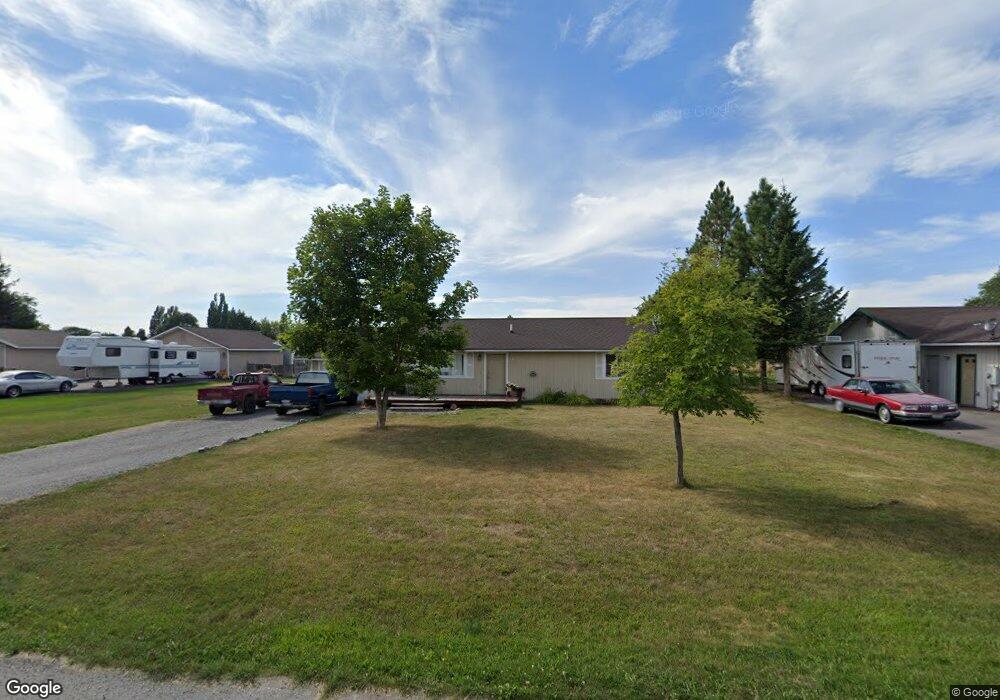
688 Shadow Ln Kalispell, MT 59901
Estimated Value: $410,712 - $503,000
3
Beds
1
Bath
1,056
Sq Ft
$429/Sq Ft
Est. Value
About This Home
This home is located at 688 Shadow Ln, Kalispell, MT 59901 and is currently estimated at $452,928, approximately $428 per square foot. 688 Shadow Ln is a home located in Flathead County with nearby schools including East Evergreen School, Evergreen Junior High School (7-8), and Glacier High School.
Ownership History
Date
Name
Owned For
Owner Type
Purchase Details
Closed on
Jul 20, 2023
Sold by
Dopps Elizabeth R
Bought by
Dopps Elizabeth R and Sherwood Robin R
Current Estimated Value
Home Financials for this Owner
Home Financials are based on the most recent Mortgage that was taken out on this home.
Original Mortgage
$65,000
Outstanding Balance
$52,575
Interest Rate
6.71%
Mortgage Type
Credit Line Revolving
Estimated Equity
$400,353
Purchase Details
Closed on
Jan 18, 2023
Sold by
Sherwood Elizabeth R
Bought by
Sherwood Robin R
Purchase Details
Closed on
Jan 21, 2021
Sold by
Estavillo Marjorie J
Bought by
Sherwood Elizabeth R
Home Financials for this Owner
Home Financials are based on the most recent Mortgage that was taken out on this home.
Original Mortgage
$126,100
Interest Rate
2.6%
Mortgage Type
New Conventional
Purchase Details
Closed on
Jul 6, 2006
Sold by
Sherwood Robin R and Sherwood Elizabeth R
Bought by
Estavillo Marjorie J
Create a Home Valuation Report for This Property
The Home Valuation Report is an in-depth analysis detailing your home's value as well as a comparison with similar homes in the area
Purchase History
| Date | Buyer | Sale Price | Title Company |
|---|---|---|---|
| Dopps Elizabeth R | -- | None Listed On Document | |
| Sherwood Robin R | -- | -- | |
| Sherwood Elizabeth R | -- | Insured Titles | |
| Estavillo Marjorie J | -- | Alliance Title |
Source: Public Records
Mortgage History
| Date | Status | Borrower | Loan Amount |
|---|---|---|---|
| Open | Dopps Elizabeth R | $65,000 | |
| Previous Owner | Sherwood Elizabeth R | $126,100 |
Source: Public Records
Tax History
| Year | Tax Paid | Tax Assessment Tax Assessment Total Assessment is a certain percentage of the fair market value that is determined by local assessors to be the total taxable value of land and additions on the property. | Land | Improvement |
|---|---|---|---|---|
| 2025 | $1,444 | $368,300 | $0 | $0 |
| 2024 | $2,008 | $313,800 | $0 | $0 |
| 2023 | $2,072 | $313,800 | $0 | $0 |
| 2022 | $2,053 | $224,100 | $0 | $0 |
| 2021 | $2,108 | $224,100 | $0 | $0 |
| 2020 | $1,867 | $186,400 | $0 | $0 |
| 2019 | $1,843 | $186,400 | $0 | $0 |
| 2018 | $1,394 | $137,200 | $0 | $0 |
| 2017 | $1,391 | $137,200 | $0 | $0 |
| 2016 | $1,311 | $133,300 | $0 | $0 |
| 2015 | $1,285 | $133,300 | $0 | $0 |
| 2014 | $1,297 | $82,945 | $0 | $0 |
Source: Public Records
Map
Nearby Homes
- 672 Shadow Ln
- 692 Shadow Ln
- 623 Saint Regis Dr
- 136 Weimar Way
- 227 Drake Dr
- 130 E Reserve Dr
- 696 Mountain View Dr
- 1056 Clark Fork Dr
- 10 Cheery Lynn Ct
- 3091 Elderberry Ave
- 223 Cooperative Way
- 435 Margrethe Rd
- 430 Judith Rd
- 103 Spring Creek Dr
- 227 E Nicklaus Ave
- 217 E Nicklaus Ave
- 218 E Nicklaus Ave
- 335 Rosewater Loop
- 284 W Nicklaus Ave
- 269 W Nicklaus Ave
Your Personal Tour Guide
Ask me questions while you tour the home.