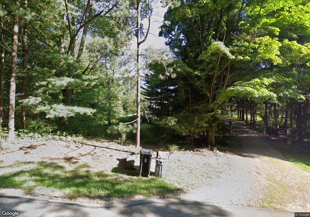
6880 Coonpath Rd Carroll, OH 43112
Bloom NeighborhoodEstimated Value: $471,716 - $596,000
4
Beds
3
Baths
2,226
Sq Ft
$234/Sq Ft
Est. Value
About This Home
This home is located at 6880 Coonpath Rd, Carroll, OH 43112 and is currently estimated at $520,429, approximately $233 per square foot. 6880 Coonpath Rd is a home located in Fairfield County with nearby schools including Bloom Carroll Primary School, Bloom Carroll Intermediate School, and Bloom-Carroll Middle School.
Ownership History
Date
Name
Owned For
Owner Type
Purchase Details
Closed on
Jul 9, 1997
Sold by
Scott Carl E
Bought by
Summers Robert A and Summers Marilynn K
Current Estimated Value
Home Financials for this Owner
Home Financials are based on the most recent Mortgage that was taken out on this home.
Original Mortgage
$183,000
Outstanding Balance
$27,392
Interest Rate
8%
Mortgage Type
VA
Estimated Equity
$493,037
Create a Home Valuation Report for This Property
The Home Valuation Report is an in-depth analysis detailing your home's value as well as a comparison with similar homes in the area
Home Values in the Area
Average Home Value in this Area
Purchase History
| Date | Buyer | Sale Price | Title Company |
|---|---|---|---|
| Summers Robert A | $183,600 | -- |
Source: Public Records
Mortgage History
| Date | Status | Borrower | Loan Amount |
|---|---|---|---|
| Open | Summers Robert A | $183,000 |
Source: Public Records
Tax History Compared to Growth
Tax History
| Year | Tax Paid | Tax Assessment Tax Assessment Total Assessment is a certain percentage of the fair market value that is determined by local assessors to be the total taxable value of land and additions on the property. | Land | Improvement |
|---|---|---|---|---|
| 2024 | $10,104 | $122,620 | $42,000 | $80,620 |
| 2023 | $5,211 | $122,620 | $42,000 | $80,620 |
| 2022 | $5,251 | $122,620 | $42,000 | $80,620 |
| 2021 | $4,231 | $89,290 | $33,600 | $55,690 |
| 2020 | $4,277 | $89,290 | $33,600 | $55,690 |
| 2019 | $4,290 | $89,290 | $33,600 | $55,690 |
| 2018 | $3,621 | $77,590 | $28,220 | $49,370 |
| 2017 | $3,413 | $76,250 | $26,880 | $49,370 |
| 2016 | $3,362 | $76,250 | $26,880 | $49,370 |
| 2015 | $3,260 | $71,860 | $26,880 | $44,980 |
| 2014 | $3,128 | $71,860 | $26,880 | $44,980 |
| 2013 | $3,128 | $71,860 | $26,880 | $44,980 |
Source: Public Records
Map
Nearby Homes
- 7985 Lithopolis Rd NW
- 4180 Stone Hill Drive East NW
- 1975 Lamb Rd NW
- 6920 Winchester Rd NW
- 2155 Carroll-Southern Rd NW
- 8322 Benson Rd
- 4900 Pickerington Rd NW
- 52 W Canal St
- 62 Oberle Ave
- 839 Rockmill Rd NW
- 3830 Mason Rd NW
- 5341 Carnes Rd
- 4656 Meadow Grove Dr NW
- 7835 E Ohio State Ln NW
- 5311 Mason Rd NW
- 0 Old Columbus Rd NW
- 10 Mount Zion Rd NW
- 10385 Lithopolis Rd NW
- 3355 Old Columbus Rd NW
- 5771 Royalton Rd SW
- 6840 Coonpath Rd
- 6840 Coonpath Rd
- 6940 Coonpath Rd
- 6996 Coonpath Rd
- 6740 Coonpath Rd
- 7000 Coonpath Rd
- 7000 Coonpath Rd NW
- 7007 Coonpath Rd
- 6730 Coonpath Rd
- 7110 Coonpath Rd
- 7105 Coonpath Rd
- 6649 Coonpath Rd
- 6679 Coonpath Rd
- 6610 Coonpath Rd
- 7204 Coonpath Rd
- 7205 Coonpath Rd
- 7153 Coonpath Rd
- 6589 Coonpath Rd
- 7131 Coonpath Rd
- 6545 Coonpath Rd
