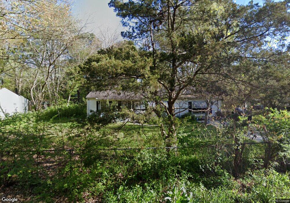
6884 Ensign Rd Millington, TN 38053
Estimated Value: $156,000 - $196,000
About This Home
This home is located at 6884 Ensign Rd, Millington, TN 38053 and is currently estimated at $176,173, approximately $119 per square foot. 6884 Ensign Rd is a home located in Shelby County with nearby schools including Millington Elementary School and Millington High School.
Ownership History
We collect this data history from publicly available records. To have your information removed, we recommend requesting removal directly through your county’s website.
Purchase Details
Home Financials for this Owner
Home Financials are based on the most recent Mortgage that was taken out on this home.Purchase Details
Home Financials for this Owner
Home Financials are based on the most recent Mortgage that was taken out on this home.Purchase Details
Home Financials for this Owner
Home Financials are based on the most recent Mortgage that was taken out on this home.Purchase Details
Purchase History
We collect this data history from publicly available records. To have your information removed, we recommend requesting removal directly through your county’s website.
| Date | Buyer | Sale Price | Title Company |
|---|---|---|---|
| $85,000 | Southern States Title | ||
| $50,000 | Southern States Title | ||
| $73,800 | None Available | ||
| $65,500 | -- |
Mortgage History
We collect this data history from publicly available records. To have your information removed, we recommend requesting removal directly through your county’s website.
| Date | Status | Borrower | Loan Amount |
|---|---|---|---|
| Open | $173,000 | ||
| Previous Owner | $72,659 |
Tax History
We collect this data history from publicly available records. To have your information removed, we recommend requesting removal directly through your county’s website.
| Year | Tax Paid | Tax Assessment Tax Assessment Total Assessment is a certain percentage of the fair market value that is determined by local assessors to be the total taxable value of land and additions on the property. | Land | Improvement |
|---|---|---|---|---|
| 2025 | $1,007 | $37,425 | $3,250 | $34,175 |
| 2024 | $782 | $23,075 | $2,250 | $20,825 |
| 2023 | $782 | $23,075 | $2,250 | $20,825 |
| 2022 | $782 | $23,075 | $2,250 | $20,825 |
| 2021 | $796 | $23,075 | $2,250 | $20,825 |
| 2020 | $648 | $16,000 | $2,250 | $13,750 |
| 2019 | $648 | $16,000 | $2,250 | $13,750 |
| 2018 | $648 | $16,000 | $2,250 | $13,750 |
| 2017 | $658 | $16,000 | $2,250 | $13,750 |
| 2016 | $689 | $15,775 | $0 | $0 |
| 2014 | $689 | $15,775 | $0 | $0 |
Map
- 7835 Captain Rd
- 7786 Shamrock Rd
- 7682 Currie Rd
- 7874 Shamrock Rd
- 6751 Navy Rd
- 7662 Marvin Rd
- 7647 Sledge Rd
- 6925 Northknoll Ave
- 6822 Southknoll Ave
- 6360 Brockman Dr
- 6362 Martinwood Dr
- 6349 Martinwest Dr
- 6302 Leamont Dr
- 6310 Martinwood Dr
- 6288 Woodgreen Dr
- 0 Sledge Rd
- 0 Sledge Rd Unit 5
- 0 Bethuel Rd Unit 13
- 0 Bethuel Rd Unit Lot 14
- 0 Bethuel Rd Unit Lot 12
- 6894 Ensign Rd
- 6876 Ensign Rd
- 7818 Nimitz Rd
- 7815 Captain Rd
- 7785 Captain Rd
- 7788 Nimitz Rd
- 7828 Nimitz Rd
- 7825 Captain Rd
- 7807 Nimitz Rd
- 7806 Captain Rd
- 7796 Captain Rd
- 7797 Nimitz Rd
- 7817 Nimitz Rd
- 7814 Captain Rd
- 7775 Captain Rd
- 7778 Nimitz Rd
- 7786 Captain Rd
- 7787 Nimitz Rd
- 7838 Nimitz Rd
- 7827 Nimitz Rd
Ask me questions while you tour the home.