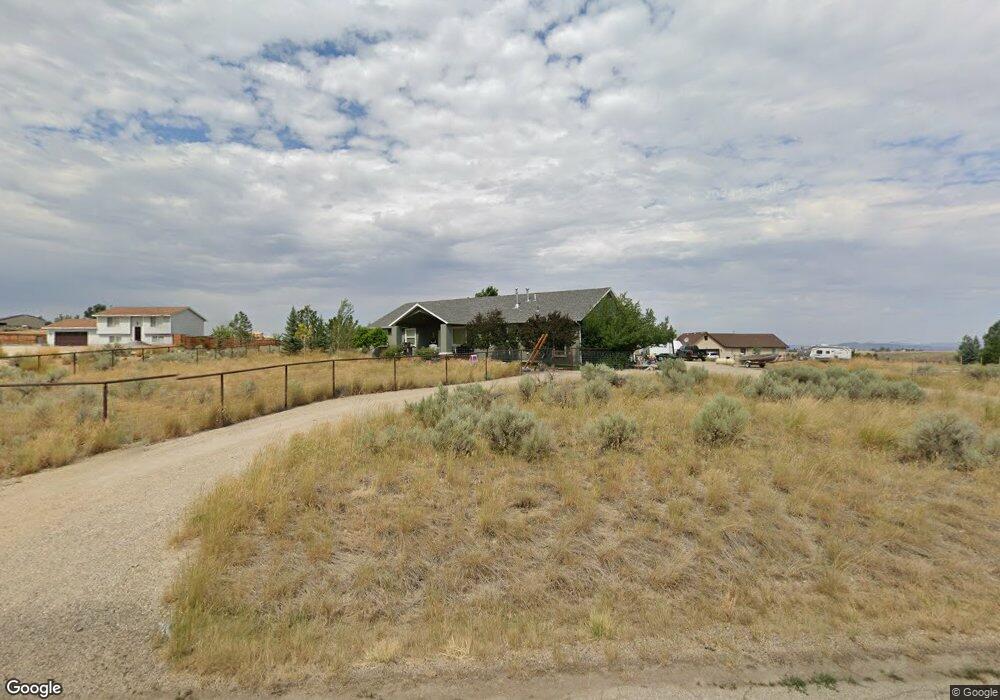
689 Clover Dr Spring Creek, NV 89815
Estimated Value: $417,000 - $499,000
5
Beds
3
Baths
2,818
Sq Ft
$160/Sq Ft
Est. Value
About This Home
This home is located at 689 Clover Dr, Spring Creek, NV 89815 and is currently estimated at $451,627, approximately $160 per square foot. 689 Clover Dr is a home located in Elko County with nearby schools including Spring Creek Elementary School, Spring Creek Middle School, and Spring Creek High School.
Ownership History
Date
Name
Owned For
Owner Type
Purchase Details
Closed on
Jun 13, 2022
Sold by
Jeffress Matthew K and Jeffress Mackenzie R
Bought by
Matthew And Mackenzie Jeffress Family Trust
Current Estimated Value
Purchase Details
Closed on
Jan 28, 2011
Sold by
Orr Timothy W and Orr Serenity K
Bought by
Jeffress Matthew K and Jeffress Mackenzie R
Home Financials for this Owner
Home Financials are based on the most recent Mortgage that was taken out on this home.
Original Mortgage
$166,400
Interest Rate
4.71%
Mortgage Type
New Conventional
Purchase Details
Closed on
Apr 19, 2007
Sold by
Ragasa Paul Robert and Ragasa Annette Momilani
Bought by
Orr Timothy W and Orr Serenity K
Home Financials for this Owner
Home Financials are based on the most recent Mortgage that was taken out on this home.
Original Mortgage
$141,800
Interest Rate
6.14%
Mortgage Type
Purchase Money Mortgage
Create a Home Valuation Report for This Property
The Home Valuation Report is an in-depth analysis detailing your home's value as well as a comparison with similar homes in the area
Purchase History
| Date | Buyer | Sale Price | Title Company |
|---|---|---|---|
| Matthew And Mackenzie Jeffress Family Trust | -- | None Listed On Document | |
| Jeffress Matthew K | $208,000 | Stewart Title Elko | |
| Orr Timothy W | $28,000 | Stewart Title |
Source: Public Records
Mortgage History
| Date | Status | Borrower | Loan Amount |
|---|---|---|---|
| Previous Owner | Jeffress Matthew K | $166,400 | |
| Previous Owner | Orr Timothy W | $141,800 |
Source: Public Records
Tax History
| Year | Tax Paid | Tax Assessment Tax Assessment Total Assessment is a certain percentage of the fair market value that is determined by local assessors to be the total taxable value of land and additions on the property. | Land | Improvement |
|---|---|---|---|---|
| 2025 | $2,410 | $139,058 | $21,000 | $118,058 |
| 2024 | $2,410 | $109,625 | $21,000 | $88,625 |
| 2023 | $2,127 | $94,230 | $11,200 | $83,030 |
| 2022 | $2,066 | $81,501 | $11,200 | $70,301 |
| 2021 | $2,005 | $79,388 | $11,200 | $68,188 |
| 2020 | $1,947 | $79,958 | $11,200 | $68,758 |
| 2019 | $1,889 | $74,133 | $8,750 | $65,383 |
| 2018 | $1,834 | $74,297 | $8,750 | $65,547 |
| 2017 | $1,530 | $69,177 | $8,750 | $60,427 |
| 2016 | $1,483 | $67,843 | $8,750 | $59,093 |
| 2015 | $1,439 | $66,989 | $8,750 | $58,239 |
| 2014 | $1,399 | $64,245 | $8,750 | $55,495 |
Source: Public Records
Map
Nearby Homes
- 787 Clover Dr
- 611 Westcott Dr
- 686 Westcott Dr
- 709 Parkridge Pkwy
- 768 Alpine Dr
- 584 Thistle Dr
- 751 Bronco Dr
- 728 Parkridge Pkwy
- 726 Bronco Dr
- 647 Abarr Dr
- 515 Foxridge Dr
- 565 Abarr Dr
- 629 Palace Pkwy
- 539 Palace Pkwy
- 632 Palace Pkwy
- 472 Foxridge Dr
- 598 Palace Pkwy
- 663 Willington Dr
- 936 Buckskin Place
- 538 Balsam Dr
Your Personal Tour Guide
Ask me questions while you tour the home.