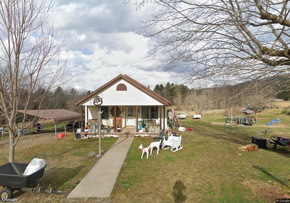
689 Gentry Rd Shady Valley, TN 37688
Estimated Value: $115,000 - $203,000
--
Bed
1
Bath
1,300
Sq Ft
$121/Sq Ft
Est. Value
About This Home
This home is located at 689 Gentry Rd, Shady Valley, TN 37688 and is currently estimated at $157,613, approximately $121 per square foot. 689 Gentry Rd is a home located in Johnson County with nearby schools including Johnson County Middle School and Johnson County High School.
Ownership History
Date
Name
Owned For
Owner Type
Purchase Details
Closed on
Aug 30, 2019
Sold by
Rhudy Randy and Rhudy Donna
Bought by
Rhudy Dennis and Hawks Sharon
Current Estimated Value
Home Financials for this Owner
Home Financials are based on the most recent Mortgage that was taken out on this home.
Original Mortgage
$50,000
Outstanding Balance
$33,244
Interest Rate
3.7%
Mortgage Type
Commercial
Estimated Equity
$124,369
Purchase Details
Closed on
Apr 15, 1997
Bought by
Rhudy Betty Jean Wright
Purchase Details
Closed on
Oct 20, 1919
Bought by
Wright Robert Heirs Cora
Create a Home Valuation Report for This Property
The Home Valuation Report is an in-depth analysis detailing your home's value as well as a comparison with similar homes in the area
Home Values in the Area
Average Home Value in this Area
Purchase History
| Date | Buyer | Sale Price | Title Company |
|---|---|---|---|
| Rhudy Dennis | $45,000 | None Available | |
| Rhudy Betty Jean Wright | $14,000 | -- | |
| Wright Robert Heirs Cora | -- | -- |
Source: Public Records
Mortgage History
| Date | Status | Borrower | Loan Amount |
|---|---|---|---|
| Open | Rhudy Dennis | $50,000 |
Source: Public Records
Tax History Compared to Growth
Tax History
| Year | Tax Paid | Tax Assessment Tax Assessment Total Assessment is a certain percentage of the fair market value that is determined by local assessors to be the total taxable value of land and additions on the property. | Land | Improvement |
|---|---|---|---|---|
| 2024 | $631 | $28,550 | $6,825 | $21,725 |
| 2023 | $631 | $28,550 | $6,825 | $21,725 |
| 2022 | $517 | $28,550 | $6,825 | $21,725 |
| 2021 | $517 | $28,550 | $6,825 | $21,725 |
| 2020 | $506 | $28,550 | $6,825 | $21,725 |
| 2019 | $506 | $24,700 | $6,825 | $17,875 |
| 2018 | $506 | $24,700 | $6,825 | $17,875 |
| 2017 | $506 | $24,700 | $6,825 | $17,875 |
| 2016 | $506 | $24,700 | $6,825 | $17,875 |
| 2015 | $447 | $24,700 | $6,825 | $17,875 |
| 2014 | $429 | $23,725 | $6,825 | $16,900 |
Source: Public Records
Map
Nearby Homes
- 225 Highway 91
- 308 Tennessee 133
- 1838 Tennessee 133
- 141 Barry Blevins Ln
- 384 Cross Mountain Rd
- 2488 Tennessee 133
- 2835 Cross Mountain Rd
- 128 Overlook Ln
- 1501 Sprucy Ridge
- 620 Swift Hollow Ln
- 3085 Slabtown Rd
- 00 Robinson Hollow Ln
- 533 Robinson Hollow Ln
- 1037 Swift Hollow Rd
- Tbd Spear Branch Rd
- 3128 Highway 421 N
- 271 Corner Rd
- 800 Leason Gregg Rd
- 166 Burley Shouns Ln
- 1481 Pleasant Valley Rd
- 532 Gentry Rd
- 811 Gentry Rd
- 540 Sluder Rd
- 000 Gentry Rd
- 527 Sluder Rd
- 611 Sluder Rd
- 8985 U S 421
- 660 Sluder Rd
- 429 Gentry Rd
- Tbd Highway 421
- 375 Gentry Rd
- 8930 Highway 421 N
- 9319 Highway 421 N
- 109 Roby Greer Ln
- 9128 Highway 421 N
- 777 Sluder Rd
- 9222 Highway 421 N
- 9222 U S 421
- 493 Us Highway 421
- 129 Sluder Rd