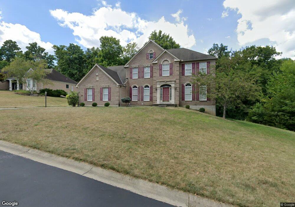
689 Kennecot Dr Cincinnati, OH 45244
Estimated Value: $623,000 - $807,000
4
Beds
3
Baths
3,701
Sq Ft
$188/Sq Ft
Est. Value
About This Home
This home is located at 689 Kennecot Dr, Cincinnati, OH 45244 and is currently estimated at $695,420, approximately $187 per square foot. 689 Kennecot Dr is a home located in Clermont County.
Ownership History
Date
Name
Owned For
Owner Type
Purchase Details
Closed on
Oct 18, 2001
Sold by
Drees Premier Homes Inc
Bought by
Rosen Jim J and Rosen Meg A
Current Estimated Value
Home Financials for this Owner
Home Financials are based on the most recent Mortgage that was taken out on this home.
Original Mortgage
$260,000
Outstanding Balance
$101,996
Interest Rate
6.92%
Mortgage Type
New Conventional
Estimated Equity
$593,424
Purchase Details
Closed on
May 23, 2001
Sold by
Breechwood Partners
Bought by
Drees Premier Homes Inc
Create a Home Valuation Report for This Property
The Home Valuation Report is an in-depth analysis detailing your home's value as well as a comparison with similar homes in the area
Purchase History
| Date | Buyer | Sale Price | Title Company |
|---|---|---|---|
| Rosen Jim J | $345,000 | -- | |
| Drees Premier Homes Inc | $183,116 | -- |
Source: Public Records
Mortgage History
| Date | Status | Borrower | Loan Amount |
|---|---|---|---|
| Open | Rosen Jim J | $260,000 |
Source: Public Records
Tax History
| Year | Tax Paid | Tax Assessment Tax Assessment Total Assessment is a certain percentage of the fair market value that is determined by local assessors to be the total taxable value of land and additions on the property. | Land | Improvement |
|---|---|---|---|---|
| 2024 | $7,940 | $174,200 | $27,410 | $146,790 |
| 2023 | $8,020 | $174,200 | $27,410 | $146,790 |
| 2022 | $8,689 | $143,370 | $19,780 | $123,590 |
| 2021 | $8,697 | $143,370 | $19,780 | $123,590 |
| 2020 | $8,335 | $143,370 | $19,780 | $123,590 |
| 2019 | $7,810 | $134,480 | $17,050 | $117,430 |
| 2018 | $7,814 | $134,480 | $17,050 | $117,430 |
| 2017 | $7,510 | $134,480 | $17,050 | $117,430 |
| 2016 | $7,510 | $115,920 | $14,700 | $101,220 |
| 2015 | $7,313 | $115,920 | $14,700 | $101,220 |
| 2014 | $7,276 | $115,920 | $14,700 | $101,220 |
| 2013 | $8,046 | $124,950 | $15,750 | $109,200 |
Source: Public Records
Map
Nearby Homes
- 689 Bostwick Ct
- 551 N View Dr
- 4992 Mallet Hill Dr
- 695 Miami View Trail
- 673 Brandy Way
- 634 Chateau Dr
- 4885 Beechwood Rd
- 4834 Summerside Rd
- 4775 Timberknoll Dr
- 219 Laurel Ave
- 4806 Forest Meadows Ct
- 864 Garfield Ave
- 602 Stanton Ave
- 4773 Beechwood Rd
- 2 Mount Carmel Rd
- 214 Rugby Ave
- 481 Big Moe Dr
- 301 Doublegate Dr
- 250 Gateway Dr
- 822 Stanton Ave
- 687 Kennecot Dr
- 685 Kennecot Dr
- 695 Kennecot Dr
- 697 Kennecot Dr
- 637 Polo Woods Dr
- 699 Kennecot Dr
- 639 Polo Woods Dr
- 635 Polo Woods Dr
- 693 Kennecot Dr
- 633 Polo Woods Dr
- 631 Polo Woods Dr
- 683 Kennecot Dr
- 691 Kennecot Dr
- 641 Polo Woods Dr
- 682 Kennecot Dr
- 629 Polo Woods Dr
- 680 Kennecot Dr
- 643 Polo Woods Dr
- 678 Kennecot Dr
- 681 Kennecot Dr
Your Personal Tour Guide
Ask me questions while you tour the home.