Estimated Value: $180,000 - $659,000
2
Beds
2
Baths
1,500
Sq Ft
$249/Sq Ft
Est. Value
About This Home
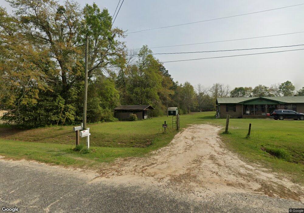
This home is located at 689 Moore Rd, Cairo, GA 39828 and is currently estimated at $373,000, approximately $248 per square foot. 689 Moore Rd is a home located in Grady County.
Ownership History
Date
Name
Owned For
Owner Type
Purchase Details
Closed on
Apr 26, 2023
Sold by
Lewis Family Limited Partnership
Bought by
L & L Southern Holdings Llc
Current Estimated Value
Home Financials for this Owner
Home Financials are based on the most recent Mortgage that was taken out on this home.
Original Mortgage
$415,446
Outstanding Balance
$99,226
Interest Rate
6.32%
Mortgage Type
New Conventional
Estimated Equity
$273,774
Purchase Details
Closed on
May 3, 2019
Sold by
Lewis Family Limited Partnership
Bought by
Stegall Joseph Ivan and Stegall Glenda Kay
Purchase Details
Closed on
Apr 2, 1998
Bought by
Lewis Family Limited
Purchase Details
Closed on
Dec 30, 1996
Sold by
Lewis Opal Faulkner
Bought by
Lewis Family Limited
Purchase Details
Closed on
Jan 24, 1995
Bought by
Lewis Opal Faulkner
Create a Home Valuation Report for This Property
The Home Valuation Report is an in-depth analysis detailing your home's value as well as a comparison with similar homes in the area
Purchase History
| Date | Buyer | Sale Price | Title Company |
|---|---|---|---|
| L & L Southern Holdings Llc | $470,000 | -- | |
| Stegall Joseph Ivan | $319,484 | -- | |
| Lewis Family Limited | $1,098,500 | -- | |
| Lewis Family Limited | $1,098,500 | -- | |
| Lewis Opal Faulkner | -- | -- |
Source: Public Records
Mortgage History
| Date | Status | Borrower | Loan Amount |
|---|---|---|---|
| Open | L & L Southern Holdings Llc | $415,446 |
Source: Public Records
Tax History
| Year | Tax Paid | Tax Assessment Tax Assessment Total Assessment is a certain percentage of the fair market value that is determined by local assessors to be the total taxable value of land and additions on the property. | Land | Improvement |
|---|---|---|---|---|
| 2024 | $208 | $8,524 | $8,524 | $0 |
| 2023 | $2,350 | $76,356 | $52,496 | $23,860 |
| 2022 | $1,202 | $76,356 | $52,496 | $23,860 |
| 2021 | $2,358 | $76,356 | $52,496 | $23,860 |
| 2020 | $2,366 | $76,356 | $52,496 | $23,860 |
| 2019 | $1,454 | $105,908 | $82,048 | $23,860 |
| 2018 | $1,347 | $105,908 | $82,048 | $23,860 |
| 2017 | $1,267 | $105,908 | $82,048 | $23,860 |
| 2016 | $1,162 | $102,428 | $82,048 | $20,380 |
| 2015 | $1,133 | $102,428 | $82,048 | $20,380 |
| 2014 | -- | $102,428 | $82,048 | $20,380 |
| 2013 | -- | $99,181 | $80,320 | $18,861 |
Source: Public Records
Map
Nearby Homes
- 770 Pierce Chapel Rd
- 129 Alison Dr
- 161 Evergreen Ln
- 309 Sunset Ln
- 88 Ruby Ln
- 00 Academy Dr
- 163 U S 84
- 3109 U S 84
- 3109 U S 84
- 2427 Pierce Chapel Rd
- 78.6 Ac Strickland Rd
- 2690 U S 84
- 279-1C Lewis Ln
- 275 Lewis Ln
- 21 24th St NE
- 66 22nd St NE
- 3136 State Route 188
- 592 20th St SE
- 0 20th St NE
- 00 20th St NE
Your Personal Tour Guide
Ask me questions while you tour the home.